- Cranberry Isles, Maine
-
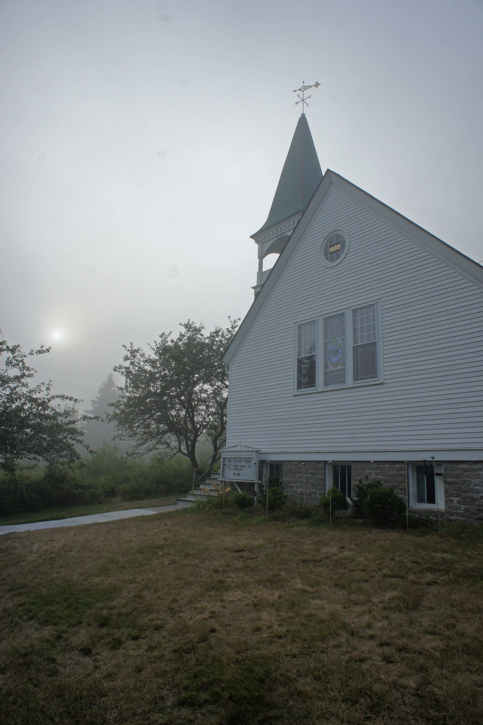
Cranberry Isles, Maine — Town — Church in Islesford, Maine Location within the state of Maine
 Cranberry Isles, Maine
Coordinates: 44°15′42″N 68°14′23″W / 44.26167°N 68.23972°W Country United States State Maine County Hancock Area – Total 42.4 sq mi (109.8 km2) – Land 3.2 sq mi (8.2 km2) – Water 39.2 sq mi (101.6 km2) Elevation 0 ft (0 m) Population (2000) – Total 128 – Density 40.3/sq mi (15.6/km2) Time zone Eastern (EST) (UTC-5) – Summer (DST) EDT (UTC-4) ZIP code 04625 Area code(s) 207 FIPS code 23-14905 GNIS feature ID 0582423 Cranberry Isles is a town in Hancock County, Maine, United States. The population was 128 at the 2000 census.
Contents
Geography
According to the United States Census Bureau, the town has a total area of 42.4 square miles (110 km2), of which, 3.2 square miles (8.3 km2) of it is land and 39.2 square miles (102 km2) of it (92.50%) is water.
The land area of the Town of Cranberry Isles is composed of five islands: Great Cranberry Island (with the postal designation Cranberry Isles, ZIP code 04625), Little Cranberry Island (with the postal designation Islesford, ZIP code 04646), Sutton Island, Bear Island, and Baker Island. Only the first two islands have post offices or year-round populations.
Demographics
Historical populations Census Pop. %± 1890 330 — 1900 374 13.3% 1910 399 6.7% 1920 410 2.8% 1930 349 −14.9% 1940 334 −4.3% 1950 228 −31.7% 1960 181 −20.6% 1970 186 2.8% 1980 198 6.5% 1990 189 −4.5% 2000 128 −32.3% As of the census[1] of 2000, there were 128 people living year round in the Cranberry Isles. The population density of Great Cranberry Island was 40.3 people per square mile (15.6/km²). There were 344 housing units at an average density of 108.4 per square mile (41.9/km²). The racial makeup of the town was 98.44% White, and 1.56% from two or more races.
See also
- List of islands of Maine
References
- ^ "American FactFinder". United States Census Bureau. http://factfinder.census.gov. Retrieved 2008-01-31.
External links
Municipalities and communities of Hancock County, Maine City 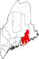
Towns Amherst | Aurora | Bar Harbor | Blue Hill | Brooklin | Brooksville | Bucksport | Castine | Cranberry Isles | Dedham | Deer Isle | Eastbrook | Franklin | Frenchboro | Gouldsboro | Great Pond | Hancock | Lamoine | Mariaville | Mount Desert | Orland | Osborn | Otis | Penobscot | Sedgwick | Sorrento | Southwest Harbor | Stonington | Sullivan | Surry | Swan's Island | Tremont | Trenton | Verona Island | Waltham | Winter Harbor
Unorganized
territoriesCDPs Other
villagesCoordinates: 44°14′54″N 68°15′37″W / 44.24833°N 68.26028°W
Categories:- Islands of Hancock County, Maine
- Towns in Hancock County, Maine


Wikimedia Foundation. 2010.