List of Empire ships (Co–Cy) — The Empire ships were a series of ships in the service of the British Government. Their names were all prefixed with Empire. Mostly they were used during the Second World War by the Ministry of War Transport (MoWT), which owned the ships but… … Wikipedia
Bredon Hill — Infobox Mountain Name = Bredon Hill Photo = Bredon Hill.jpg Caption = Parsons Folly the inner rampart of Kemerton Camp on top of Bredon Hill Elevation = 299 m (981 ft) Location = Worcestershire, England Range = Prominence = 257 m Parent peak =… … Wikipedia
Droitwich Spa — Coordinates: 52°16′01″N 2°09′11″W / 52.267°N 2.153°W / 52.267; 2.153 … Wikipedia
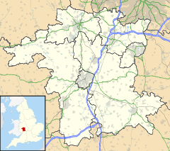
List of places in Worcestershire — This is a list of cities, towns and villages in the ceremonial county of Worcestershire, England. See the list of places in England for places in other counties.compactTOC NOTOC A*Abberton, Abbots Morton, Alfrick, Alvechurch, Areley Kings, Ashton … Wikipedia
Abbots Morton — Coordinates: 52°11′38″N 1°57′38″W / 52.194°N 1.9606°W / 52.194; 1.9606 … Wikipedia
List of civil parishes in Worcestershire — Bromsgrove= Bromsgrove and Rubery are unparished.*Alvechurch *Barnt Green *Belbroughton *Bentley Pauncefoot *Beoley *Bournheath *Catshill and North Marlbrook *Clent *Cofton Hackett *Dodford with Grafton *Finstall *Frankley *Lickey and Blackwell… … Wikipedia
Martin Hussingtree — Coordinates: 52°14′23″N 2°10′23″W / 52.239611°N 2.17318°W / 52.239611; 2.17318 … Wikipedia
Ombersley — Coordinates: 52°16′17″N 2°13′43″W / 52.271302°N 2.228711°W / 52.271302; 2.228711 … Wikipedia
Mere Green, Worcestershire — Coordinates: 52°15′35″N 2°04′24″W / 52.25974°N 2.07321°W / 52.25974; 2.07321 … Wikipedia
Netherton, Worcestershire — Coordinates: 52°04′20″N 2°00′52″W / 52.072358°N 2.014575°W / 52.072358; 2.014575 … Wikipedia

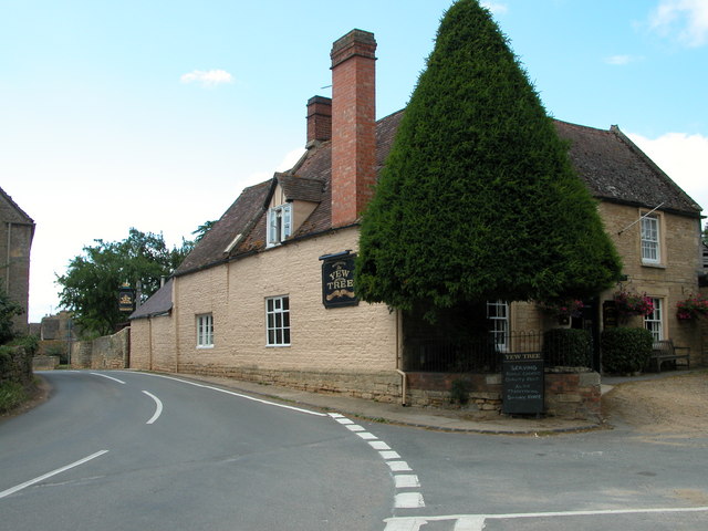
 Conderton