- Defford
-
Coordinates: 52°05′14″N 2°07′09″W / 52.087346°N 2.119104°W
Defford 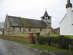
 Defford
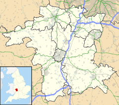
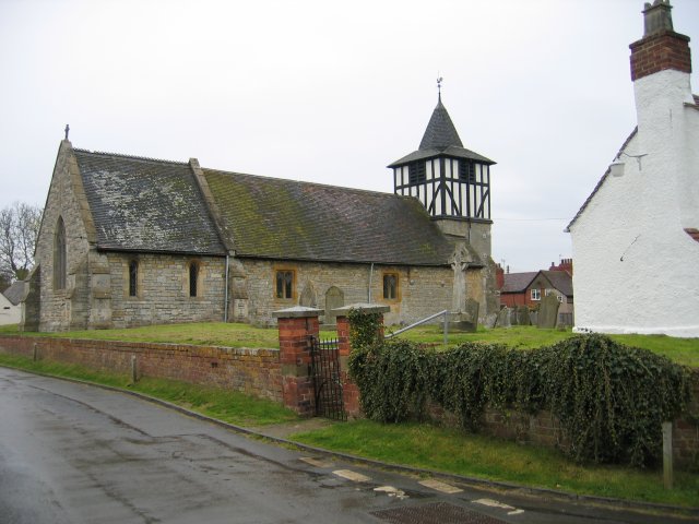
Defford shown within WorcestershireDistrict Wychavon Shire county Worcestershire Region West Midlands Country England Sovereign state United Kingdom Post town Worcester Postcode district WR8 EU Parliament West Midlands List of places: UK • England • Worcestershire Defford is a small village in the county of Worcestershire, England, located between the towns of Pershore and Upton-upon-Severn.
Defford also has a primary school, Defford cum Besford First School, and three pubs.
Defford is home to one of the radio telescopes that make up the Jodrell Bank MERLIN (Multi-Element Radio Linked Interferometer Network) radio telescope array linking six observing stations that together form a powerful telescope with an effective aperture of over 217 kilometres.
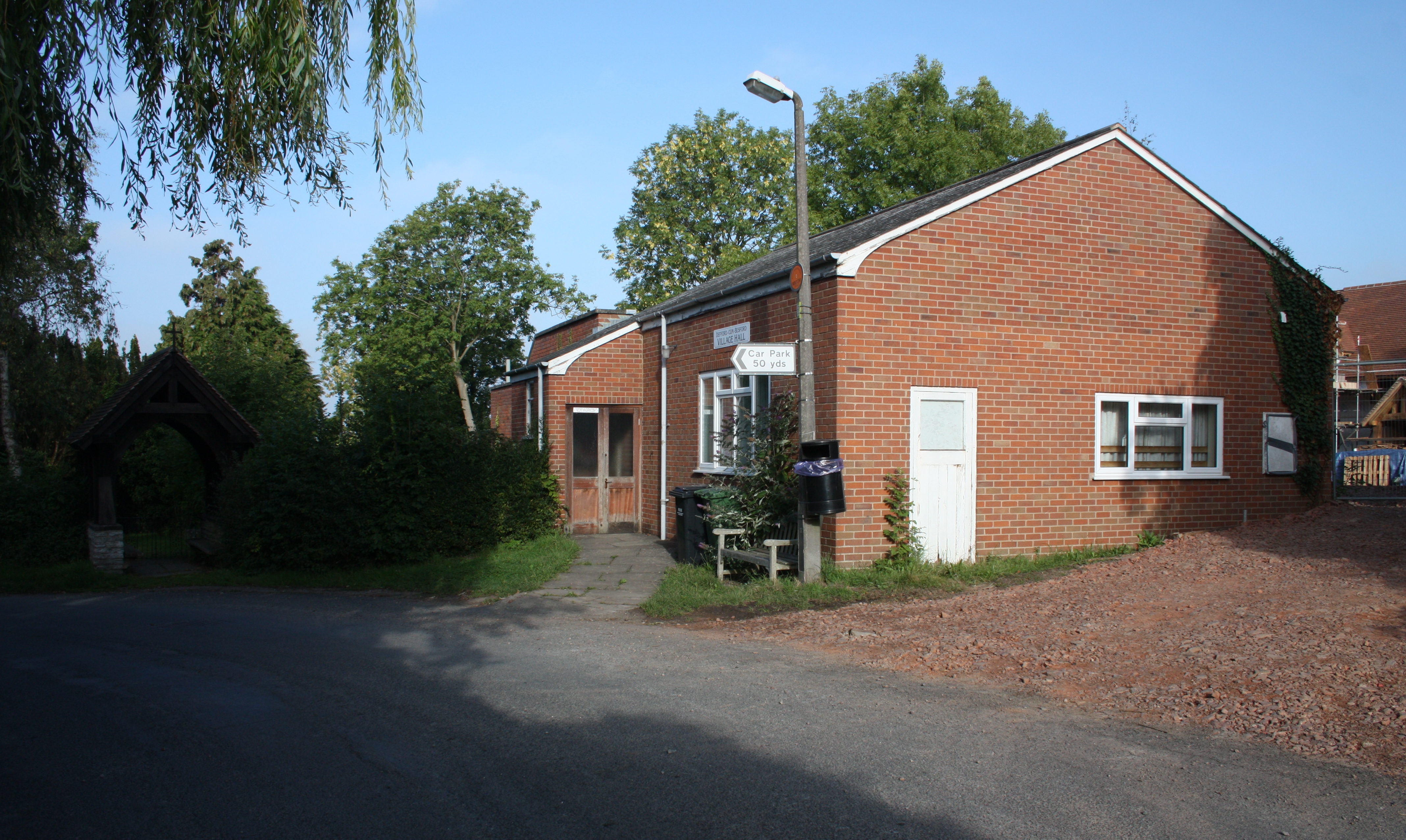
Defford Village Hall
 Defford Old Village Hall
The village hall is owned and run by a charity, the Defford Village Hall Trust, and managed by a committee of trustees . The Village Hall Management Committee (VHMC) are currently (March 2011) building a new village hall on a greenfield site some 50 yards to the south west of the old hall, adjacent to the car park.Site Plan New Hall elevations
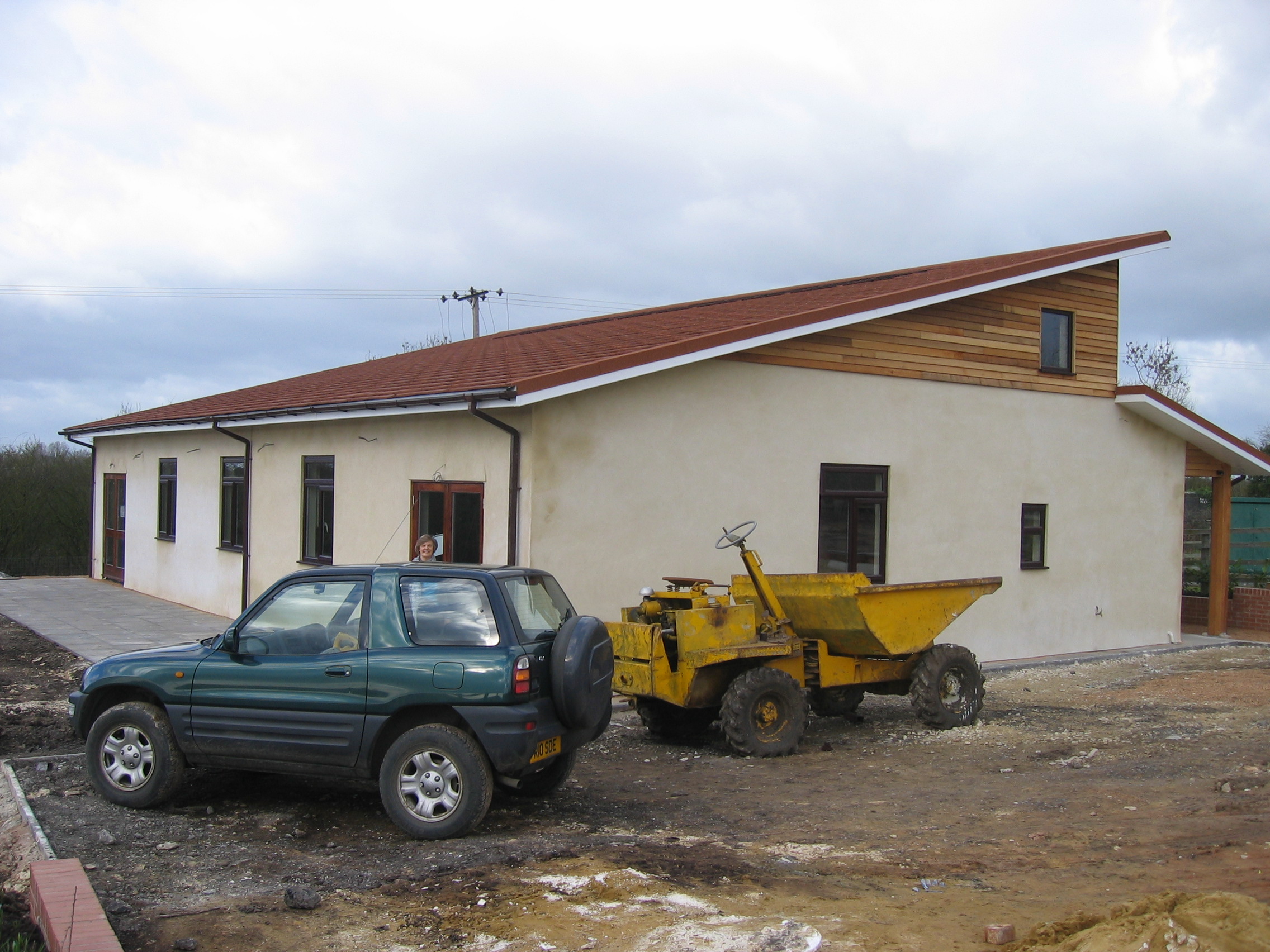
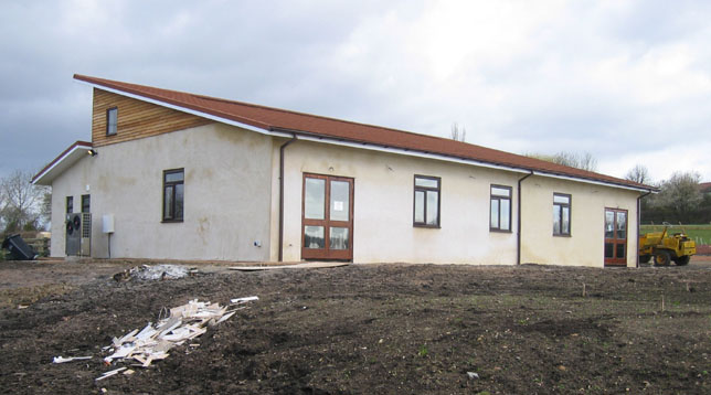
 new hall under construction
 work in progress
Defford airfield
Main article: RAF DeffordIn 1941 during Word War II, a Royal Airforce base was constructed mainly for the flying experiments for radar that was being developed in nearby Malvern and for a few months the airfield was used as a satellite station by the Wellington bomber raining unit based in Pershore. A small grass airstrip remains on the now disused airfield that has been used as a location for telecommunications installations. The site is now owned and used by the West Mercia Constabulary, but the central part of the airfield still houses a Satellite Communications facility now operated by QinetiQ.
External links
- Defford air field
- Former rail station
- Defford church
- www.geograph.co.uk : photos of Defford and surrounding area
- MERLIN
Categories:- Villages in Worcestershire
- Satellite ground stations
- Earth stations in England
- Worcestershire geography stubs

Wikimedia Foundation. 2010.