- Minheim
-
Minheim 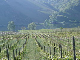


 MinheimLocation of Minheim within Bernkastel-Wittlich district
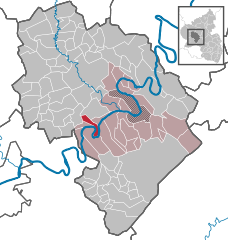
Coordinates 49.8655°N 6.9364°E / 49.8655°N 6.9364°ECoordinates: 49.8655°N 6.9364°E / 49.8655°N 6.9364°E Administration Country Germany State Rhineland-Palatinate District Bernkastel-Wittlich Municipal assoc. Neumagen-Dhron Mayor Werner Mertes Basic statistics Area 5.39 km2 (2.08 sq mi) Elevation 120 m (394 ft) Population 479 (31 December 2010)[1] - Density 89 /km2 (230 /sq mi) Other information Time zone CET/CEST (UTC+1/+2) Licence plate WIL Postal code 54518 Area code 06507 Website www.minheim.de  View of Minheim
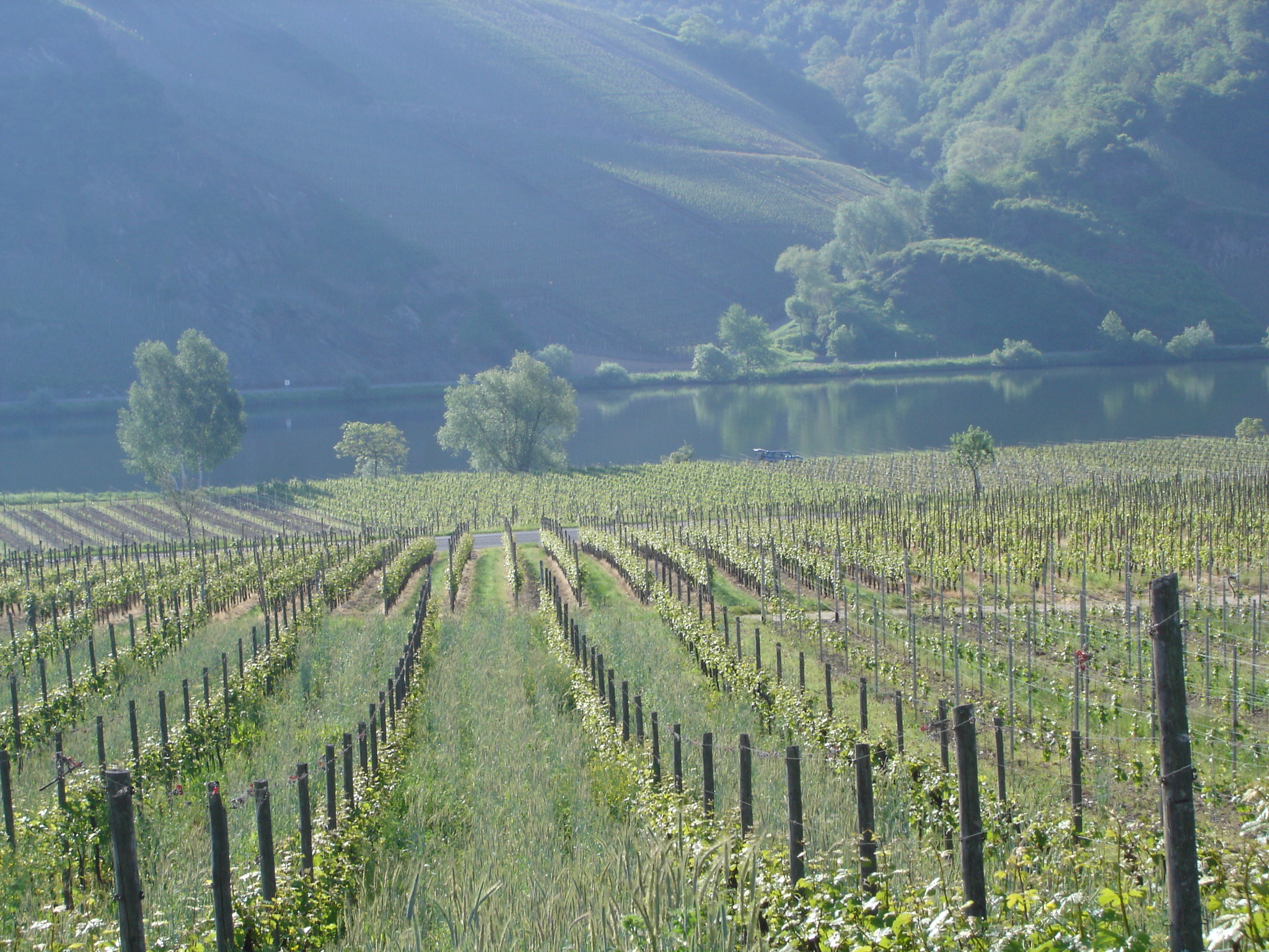
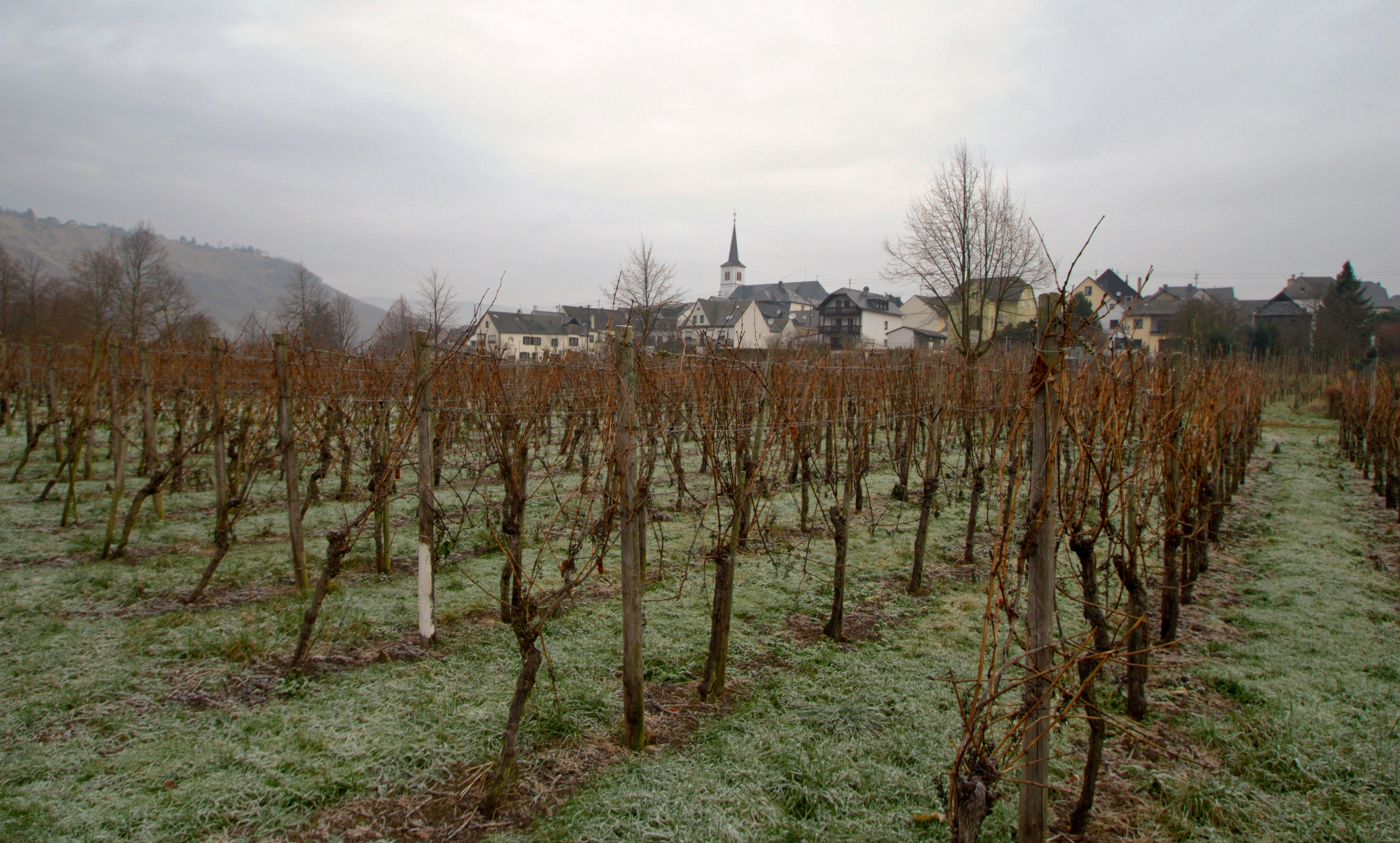
Minheim is an Ortsgemeinde – a municipality belonging to a Verbandsgemeinde, a kind of collective municipality – in the Bernkastel-Wittlich district in Rhineland-Palatinate, Germany.
Contents
Geography
Location
The municipality lies on the Moselle in the Trier region. Minheim belongs to the Verbandsgemeinde of Neumagen-Dhron, whose seat is in the like-named municipality. The location inside a bend in the Moselle has led to the nickname Sonneninsel Minheim (“Sun Island”), especially in connection with tourism.
Neighbouring municipalities
Neighbouring municipalities are Kesten and Piesport.
History
Minheim’s existence as a parish was witnessed as early as 1061. Beginning in 1794, Minheim lay under French rule. In 1814 it was assigned to the Kingdom of Prussia at the Congress of Vienna. Since 1947, it has been part of the then newly founded state of Rhineland-Palatinate.
Politics
Municipal council
The council is made up of 8 council members, who were elected by proportional representation at the municipal election held on 7 June 2009, and the honorary mayor as chairman.
The municipal election held on 7 June 2009 yielded the following results[2]:
Mertes Bollig Total 2009 6 2 8 seats Mayor
The mayor is Werner Mertes.
Economy and infrastructure
Minheim is one of the biggest winegrowing centres on the Middle Moselle. The municipality’s winegrowing locations (Einzellagen) belong to the winemaking appellation – Großlage – of Michelsberg. Moreover, there are many holiday homes, wine parlours and Straußwirtschaften (seasonal wine taverns run by the winemakers themselves and serving their own products). The so-called Sonneninsel has many hiking trails, inviting visitors on cycling tours.
The caravan park opened in 2000 was named “Park of the Year” in 2007 by readers of the mobile home magazine Promobil.
Minheim has at its disposal four inns.
Transport
On the other side of the Moselle runs Bundesstraße 53, and to the west runs the Autobahn A 1. In each of Salmtal and Wittlich is a railway station on the Koblenz-Trier railway line.
References
- ^ "Bevölkerung der Gemeinden am 31.12.2010" (in German). Statistisches Landesamt Rheinland-Pfalz. 31 December 2010. http://www.statistik.rlp.de/fileadmin/dokumente/berichte/A1033_201022_hj_G.pdf.
- ^ Kommunalwahl Rheinland-Pfalz 2009, Gemeinderat
- This article incorporates information from the German Wikipedia.
Categories:- Municipalities in Rhineland-Palatinate
- Bernkastel-Wittlich geography stubs


Wikimedia Foundation. 2010.