- Marston Trussell
-
Coordinates: 52°27′43″N 0°59′01″W / 52.4619°N 0.9837°W
Marston Trussell 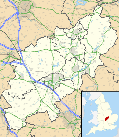
 Marston Trussell
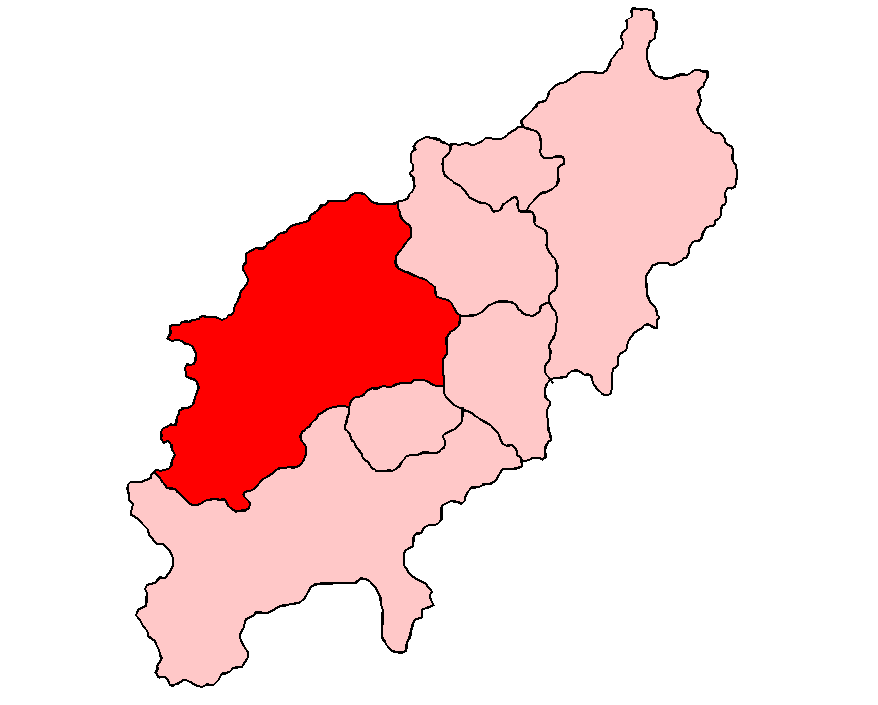
Marston Trussell shown within NorthamptonshirePopulation 163 OS grid reference SP6985 District Daventry Shire county Northamptonshire Region East Midlands Country England Sovereign state United Kingdom Post town Market Harborough Postcode district LE16 Dialling code 01858 Police Northamptonshire Fire Northamptonshire Ambulance East Midlands EU Parliament East Midlands UK Parliament Kettering List of places: UK • England • Northamptonshire Marston Trussell is a village and civil parish in the Daventry district of the county of Northamptonshire in England. Marston Trussell was first recorded as 'Mersitone', meaning marsh settlement. The parish includes Thorpe Lubenham. At the time of the 2001 census, the parish's population was 163 people.[1]
The manor house in the village, Marston Trussell Hall, dates from circa 1606 and is an Elizabethan-style mansion with fine wood panelling interiors in the drawing room; in later years the existing house was dwarfed by a Victorian extension which no longer exists. A priesthole was discovered in the mid 1950s. The 12-acre (49,000 m2) grounds of the Hall have gardens and a newly-added sunken Italian garden. Also of note are the 10 Wellingtonia trees. Rumour has it that when planted in the late 19th century, the village idiot was employed to bang a drum all day to keep birds off the branches to ensure they grew tall and true.[citation needed]
A Richard Trussell was lord of the manor in 1233. The Trussells of Marston died out in the 14th century and the Hall was eventually re-established as the seat of the Barwell-Ewins Bennett family. There is a hatchment in the parish church of Henry Barwell who died in 1763.
Local folklore states that King Charles I hid in the Hall grounds when retreating defeated from The Battle Of Naseby (1645), however this is folklore as King Charles seems to have hidden up every oak tree, hence the popular pub name, The Royal Oak. The River Welland was in flood at this time which led to a massacre of retreating Royalists who were trapped between the river and the church; this area is known locally as Slaughterford field.
The late 17th century wrought-iron carriage gates of Marston Trussell Hall were originally made for the house of Erasmus Norwich at Brampton Ash. They were moved to the entrance of the hall in the mid 1700s. Some of the original wrought-iron railings are still used to partition fields at the hall. However, during the First World War, like many country houses, a lot of the wrought-iron was removed and used in the war effort for the manufacture of arms and munitions.
Nowadays the village comprises around 60 houses, including the village hall, The Sun Inn public house and hotel and St Nicholas Church (Church of England).
The village has a 3-acre (12,000 m2) lake, two minutes walk to the west, which primarily stocks roach, perch and pike.
Alongside the lake resides the cricket pitch. The cricket team was started in the mid 1980s, predominantly playing friendlies on a Sunday. The team at one point could field five sets of brothers, Daniel (now at Wokingham Cricket Club) and Oliver Reddyhough, David and John Reddyhough, Simon and Sam Smith (now Gumley Cricket Club), Charles and Robert Mathew and Shaun and Ashley Burbery.[citation needed]
Notable people
Thomas Reynolds (antiquarian)
References
- ^ Office for National Statistics: Marston Trussell CP: Parish headcounts. Retrieved 14 November 2009
External links
- Map sources for Marston Trussell
Categories:- Villages in Northamptonshire

Wikimedia Foundation. 2010.