- Coton, Northamptonshire
-
Coordinates: 52°20′15″N 1°00′39″W / 52.3374°N 1.0107°W
Coton 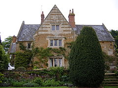
Coton Manor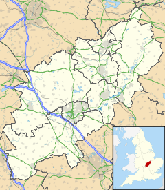
 Coton
Coton
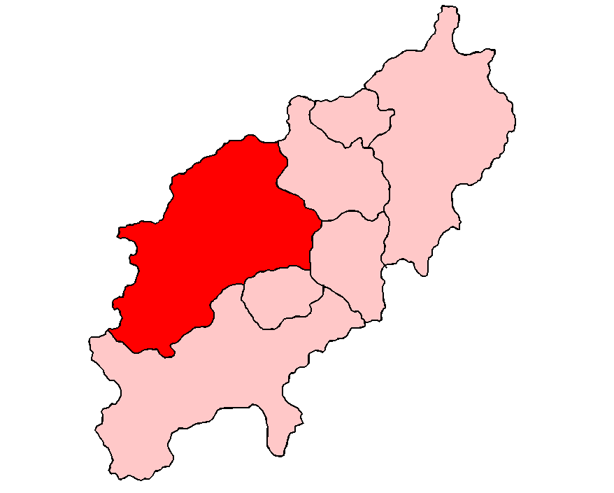
Coton shown within NorthamptonshireOS grid reference SP6771 District Daventry Shire county Northamptonshire Region East Midlands Country England Sovereign state United Kingdom Post town Northampton Postcode district NN6 Dialling code 01604 Police Northamptonshire Fire Northamptonshire Ambulance East Midlands EU Parliament East Midlands UK Parliament Daventry List of places: UK • England • Northamptonshire Coton is a hamlet in the English county of Northamptonshire. It is located between Guilsborough and Ravensthorpe. Coton is in the civil parish of the latter which, in turn is part of Daventry district. Coton Manor is a popular visitor attraction for its gardens and bluebell woods.
External links
 Media related to Coton, Northamptonshire at Wikimedia Commons
- Map sources for Coton, Northamptonshire
- Coton Manor
Categories:- Northamptonshire geography stubs
- Villages in Northamptonshire


Wikimedia Foundation. 2010.