- Nobottle
-
Coordinates: 52°15′43″N 1°00′57″W / 52.2619°N 1.0158°W
Nobottle 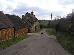
Townsend Farm, Nobottle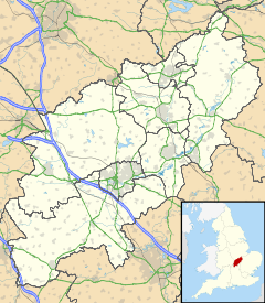
 Nobottle
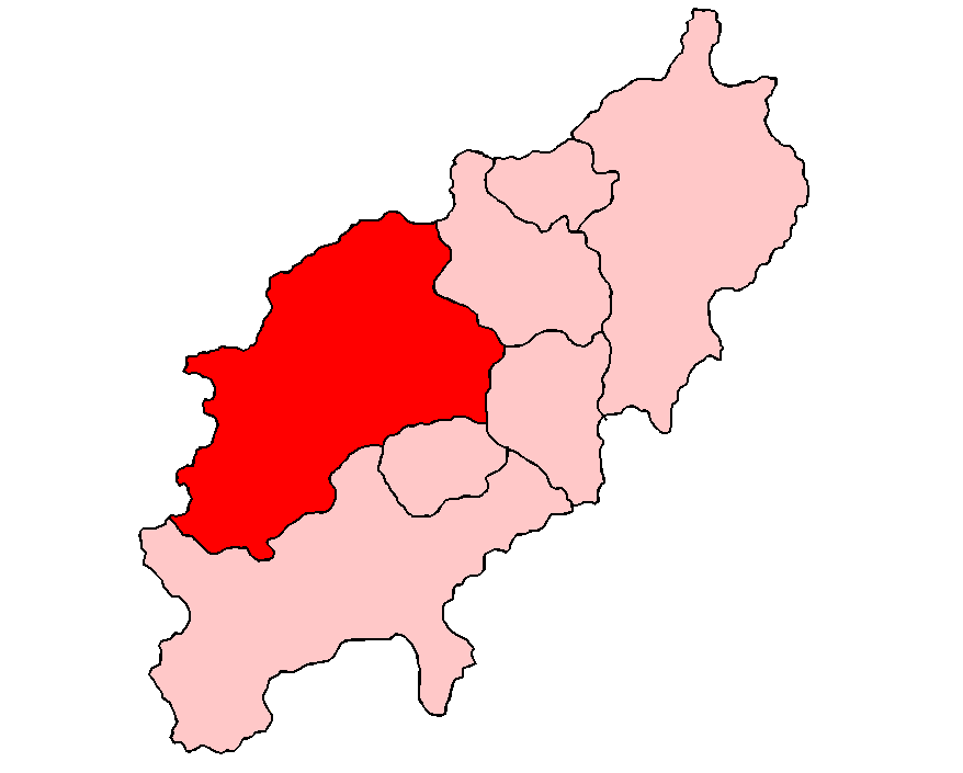
Nobottle shown within NorthamptonshireOS grid reference SP672630 District Daventry Shire county Northamptonshire Region East Midlands Country England Sovereign state United Kingdom Post town Northampton Postcode district NN7 Dialling code 01604 Police Northamptonshire Fire Northamptonshire Ambulance East Midlands EU Parliament East Midlands UK Parliament Daventry List of places: UK • England • Northamptonshire Nobottle is a hamlet in the Daventry district of the county of Northamptonshire in England. It borders the Althorp estate, which owns much of the property. Nobottle used to have a 600yd rifle range (the only one in Northamptonshire), now shut by the MOD some 20 years.[citation needed] The Midshires Way long distance footpath passes through Nobottle.
External links
- Map sources for Nobottle
Categories:- Hamlets in England
- Former populated places in Northamptonshire
- Villages in Northamptonshire
- Northamptonshire geography stubs


Wikimedia Foundation. 2010.