- Moorswater
-
Coordinates: 50°27′04″N 4°29′10″W / 50.451°N 4.486°W
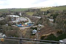 Moorswater industry seen from Moorswater railway viaduct
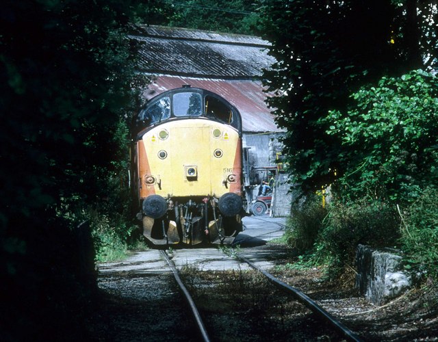
 A Class 37 locomotive at Moorwater cement works in August 2000
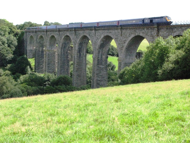
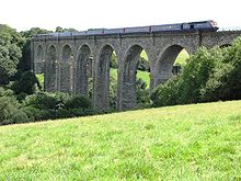 Moorswater viaduct carrying the Cornish Main Line railway
Moorswater is an industrial suburb of Liskeard in Cornwall, United Kingdom. It is situated approximately half-a-mile (0.8 km) west of Liskeard town centre[1].
Moorswater has a long industrial history and lies south of the former mining area around Kit Hill and Caradon Hill at the southeast edge of Bodmin Moor. Moorswater was at the southern end of one of Cornwall's early railways, the Liskeard and Caradon Railway mineral line which opened in 1844.
Moorswater lies in a valley which is spanned by Moorswater viaduct carrying the Cornish Main Line railway. The single-track Looe Valley Line branches from the mainline at Liskeard railway station and descends into the valley allowing freights trains to access Moorswater Industrial Estate on the site of the former Moorswater railway station, once the centre of operations for the Liskeard and Caradon Railway.
The former china clay works at Moorswater is now a rail-served cement terminal.
See also
- Moorswater viaduct
- Liskeard and Caradon Railway
- Moorswater railway station
- Liskeard and Caradon Railway
- Liskeard railway station
References
- ^ Ordnance Survey: Landranger map sheet 201 Plymouth & Launceston ISBN 9780319231463
Geography of Cornwall Cornwall Portal Unitary authorities Major settlements Bodmin • Bude • Callington • Camborne • Camelford • Falmouth • Fowey • Hayle • Helston • Launceston • Liskeard • Looe • Lostwithiel • Marazion • Newlyn • Newquay • Padstow • Par • Penryn • Penzance • Porthleven • Redruth • Saltash • St Austell • St Blazey • St Columb Major • St Ives • St Just-in-Penwith • St Mawes • Stratton • Torpoint • Truro • Wadebridge
See also: Civil parishes in CornwallRivers Topics History • Status debate • Flag • Culture • Places • People • The Duchy • Diocese • Politics • Hundreds/shires • Places of interest • full list...Categories:- Villages in Cornwall
- Cornwall geography stubs

Wikimedia Foundation. 2010.