- Massachusetts Route 80
-
Route 80
Route information Length: 6.56 mi[1] (10.56 km) Existed: by 1953 – present Major junctions West end: Carver Road in Plymouth East end:  Route 3A in Kingston
Highway system Massachusetts State Highway Routes
←  Route 79
Route 81  →
→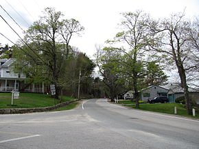

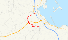
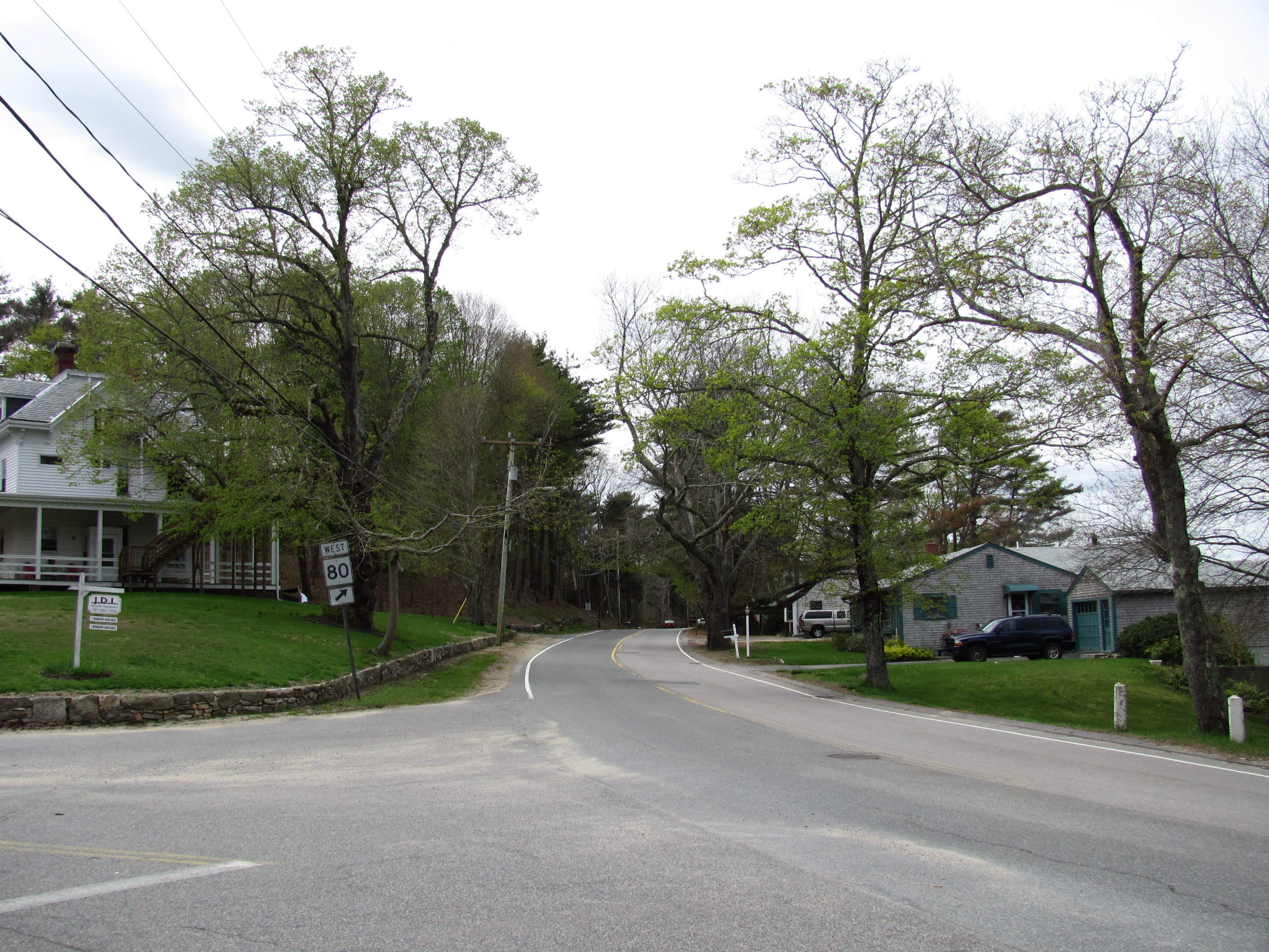
Westbound in Kingston Route 80 is a C-shaped state highway in southeastern Massachusetts. The highway is signed as west–east.
Contents
Route description
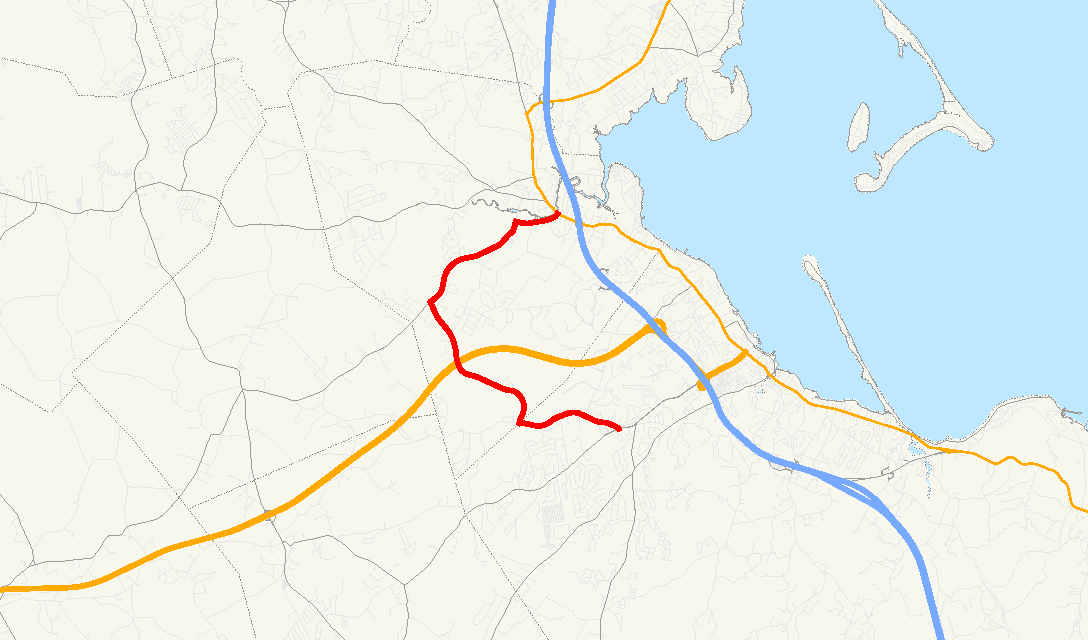
Route 80 starts at Carver Road (formerly U.S. Route 44) in the West Plymouth section of Plymouth. Due to the removal of Route 44, this is an unusual instance that a numbered route does not have its terminus with another numbered route. Though signed East, Route 80 heads west in the Plymouth section, and then generally north and northwest after crossing the town line into Kingston, all for the first 4.1 miles (6.6 km), and is a state highway, before finally turning east at Elm Street and becoming a town-maintained road.
The highway crosses over the new highway portion of U.S. Route 44 in Kingston, but there is no interchange; however, Commerce Way in Plymouth provides access between the two highways. Route 80 ends at Route 3A in Kingston along the Jones River between Routes 3 and 106.
Points of interest
Parting Ways Cemetery, a 94-acre (380,000 m2) site containing the burial grounds of four former slaves who fought in the American Revolutionary War and their families, is on this highway in Plymouth, near the Kingston town line.
Sacred Heart High School and Camp Mishannock, a summer camp for girls along Lake Providence, are on the Kingston portion of this highway.
Junction list
The entire highway is located in Plymouth County.
Location Road Names Milepost Roads Intersected Notes Plymouth Plympton Road 0.00 Carver Road Western terminus of Route 80. 0.6 Commerce Way To  U.S. Route 44.
Kingston Bishops Highway
Indian Pond Road
Elm Street
Brook Street US 44No access between Route 80 and US 44 4.1 Elm Street To  Route 58.
6.56 Route 3AEastern terminus of Route 80.
To Route 3 Exit 9 via Route 3A South.
To

 Routes 106/27/53 via Route 3A North.
References
- ^ Executive Office of Transportation, Office of Transportation Planning - 2005 Road Inventory
Categories:- Numbered routes in Massachusetts
- Kingston, Massachusetts
- Plymouth, Massachusetts
- Transportation in Plymouth County, Massachusetts
- Massachusetts road stubs

Wikimedia Foundation. 2010.