- Darlington, New South Wales
-
Darlington
Sydney, New South Wales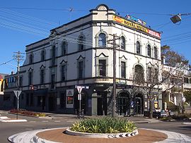
Royal Hotel, DarlingtonPopulation: 2040 (2001 census) Postcode: 2008 Area: 0.5 km² (0.2 sq mi) Location: 3 km (2 mi) south of Sydney CBD LGA: City of Sydney State District: Marrickville Federal Division: Grayndler, Sydney Suburbs around Darlington: Camperdown Chippendale Surry Hills Newtown Darlington Redfern Eveleigh Eveleigh Redfern Darlington is a small, inner-city suburb of Sydney, in the state of New South Wales, Australia. Darlington is located about 3 kilometres south of the Sydney central business district and is part of the local government area of the City of Sydney and is part of the region of the Inner West.
Contents
History
Darlington was part of the area first occupied by the Cadigal band of the Dharug people. The Cadigal people were decimated in the smallpox epidemic of 1789 and it is said only three Cadigal people were left by 1791. It is suggested that some Cadigal people may have escaped to the Concord area.[1]
In 1835 William Shepherd, a botanist, held about 28 acres (110,000 m2) in the area where he cultivated a nursery garden. He named it Darling Nursery, in honour of Governor Ralph Darling. The suburb became known as Darlingtown, which gradually was corrupted to Darlington. Street names such as Ivy, Vine, Rose, Pine and Myrtle recall the nursery origins.[2]
Developments
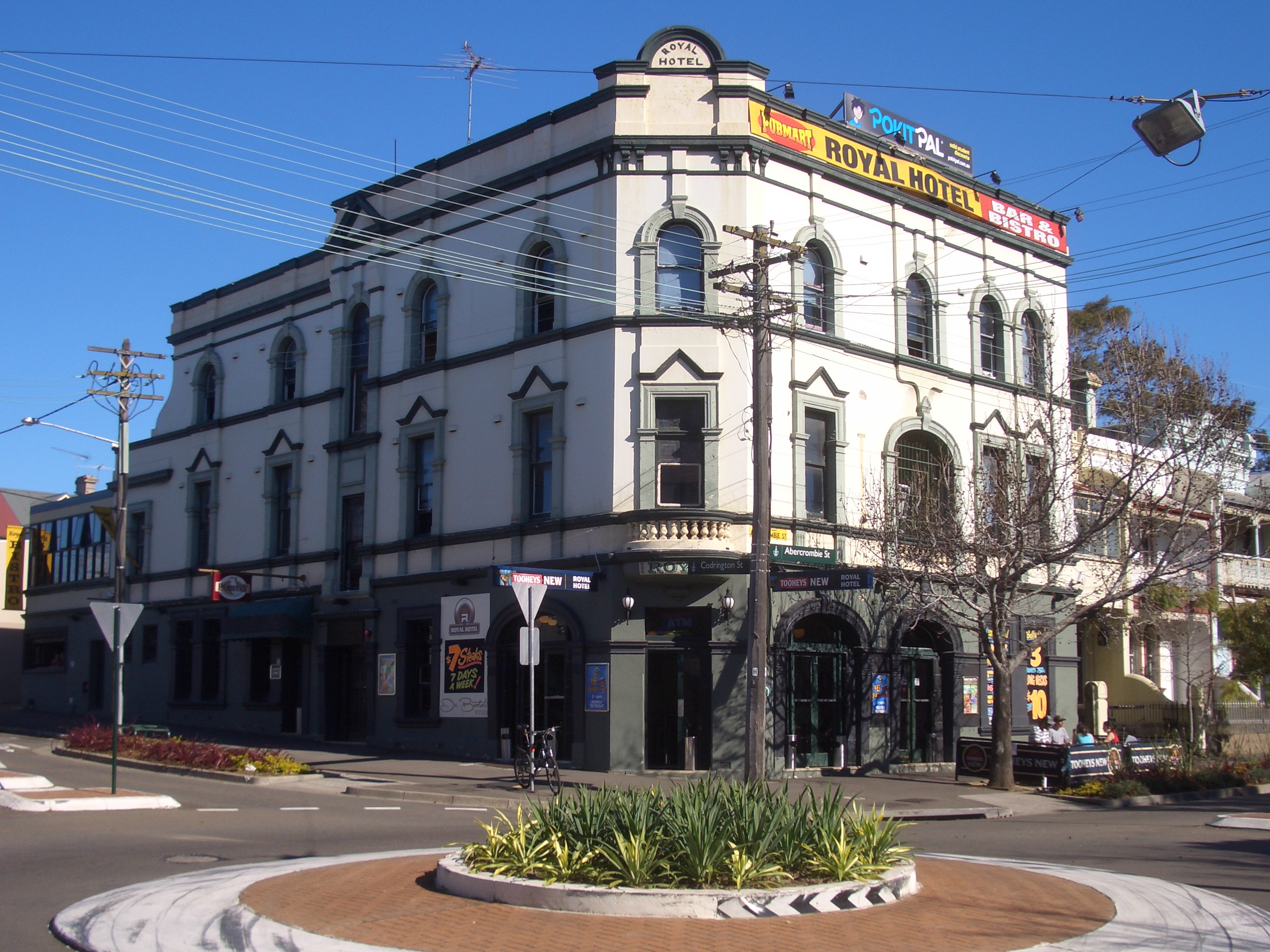
Although Darlington is small in area it can be split into a number of subdivisions including the Golden Grove locality. Much of the western half of the suburb has become part of the campus of the University of Sydney while the south-west and the east has continued as private housing. Students from Sydney University and the nearby University of Technology reside here but due to its central Sydney location, access to facilities, and attractive terraces, homes in the suburb are increasingly sought after by higher paid workers and families. Darlington is bordered by City Road to the west, Cleveland Street to the north and the railway to the south and east. A small group of shops is located on Abercrombie Street.
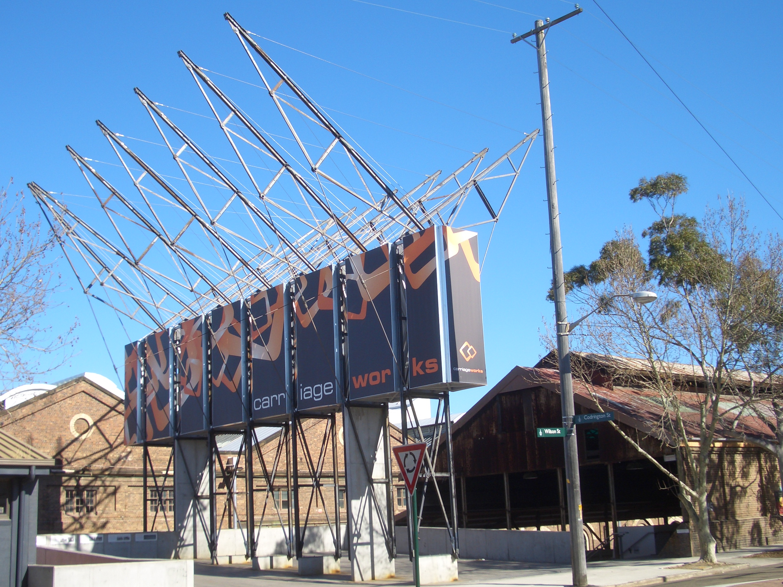
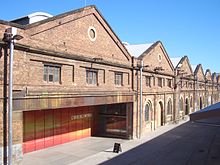 CarriageWorks
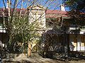
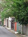
Most of Darlington is built on the terrace model in which rows of attached, two storey terrace houses face one another across the street. Behind the houses there is often a back lane running parallel with the street. The lanes were once known as 'dunny lanes' because before the introduction of the sewerage system they were used to provide access – by 'sani-men' or human waste collectors – to pan toilets sited near the rear boundary of each property. The back lanes are now used for garbage collection and for car access to garages or parking spaces at the rear of properties. The street-lane system affords raked varigated views on both sides, with back yards much cultivated by gardeners, and to a lesser extent the much smaller front yards where they exist.
On the Darlington side of the railway line near Redfern Station is The Block, a housing area around Eveleigh Street, owned by the Aboriginal community. The Block is an enclave of Darlington's neighbouring suburb of Redfern.
Landmarks
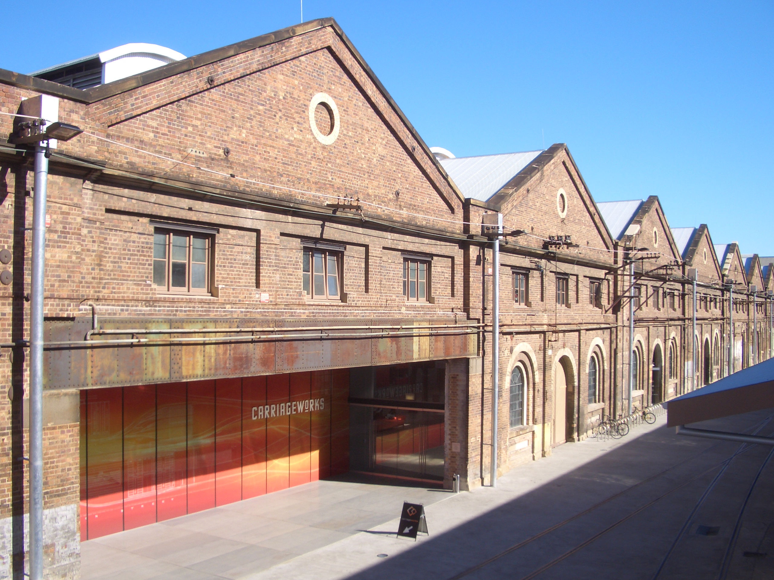
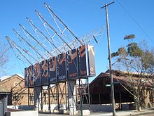 CarriageWorks entrance
Darlington was once a suburb of the industrial working class. In the decades after World War II, Darlington saw the establishment of Greek and other immigrant communities. It also became a student dormitory due to its proximity to the University of Sydney and later the UTS. Controversially, a large part of old Darlington has been consumed by Sydney University which began acquiring and demolishing houses in the 1960s in order to expand its campus. Over the years, a good deal of Darlington's architectural heritage and character has been sacrificed to the demands of Sydney University and the remaining houses close to the University – such as those on or near Abercrombie and Shepherd Streets – are to some degree affected by University activities. The Old Darlington School, a distinctive 19th century building, has been preserved within Sydney University's Darlington Campus and is used by the Music Department, especially the gamelan group.
All the records held by the old Darlington municipal council have been lost, making research of the suburb's history and architecture a challenge.
The former Eveleigh Railway Yards is now 'CarriageWorks', a centre for nurturing, development and presentation of contemporary arts. It is located off Wilson Street and is part of the adjacent suburb of Eveleigh.[3] CarriageWorks contains two theatre spaces, a gallery, a scenery construction workshop, exhibition spaces, offices, a bar and café.
Transport
Darlington is served by buses on the City Road route and CityRail railway stations at Redfern and Macdonaldtown.
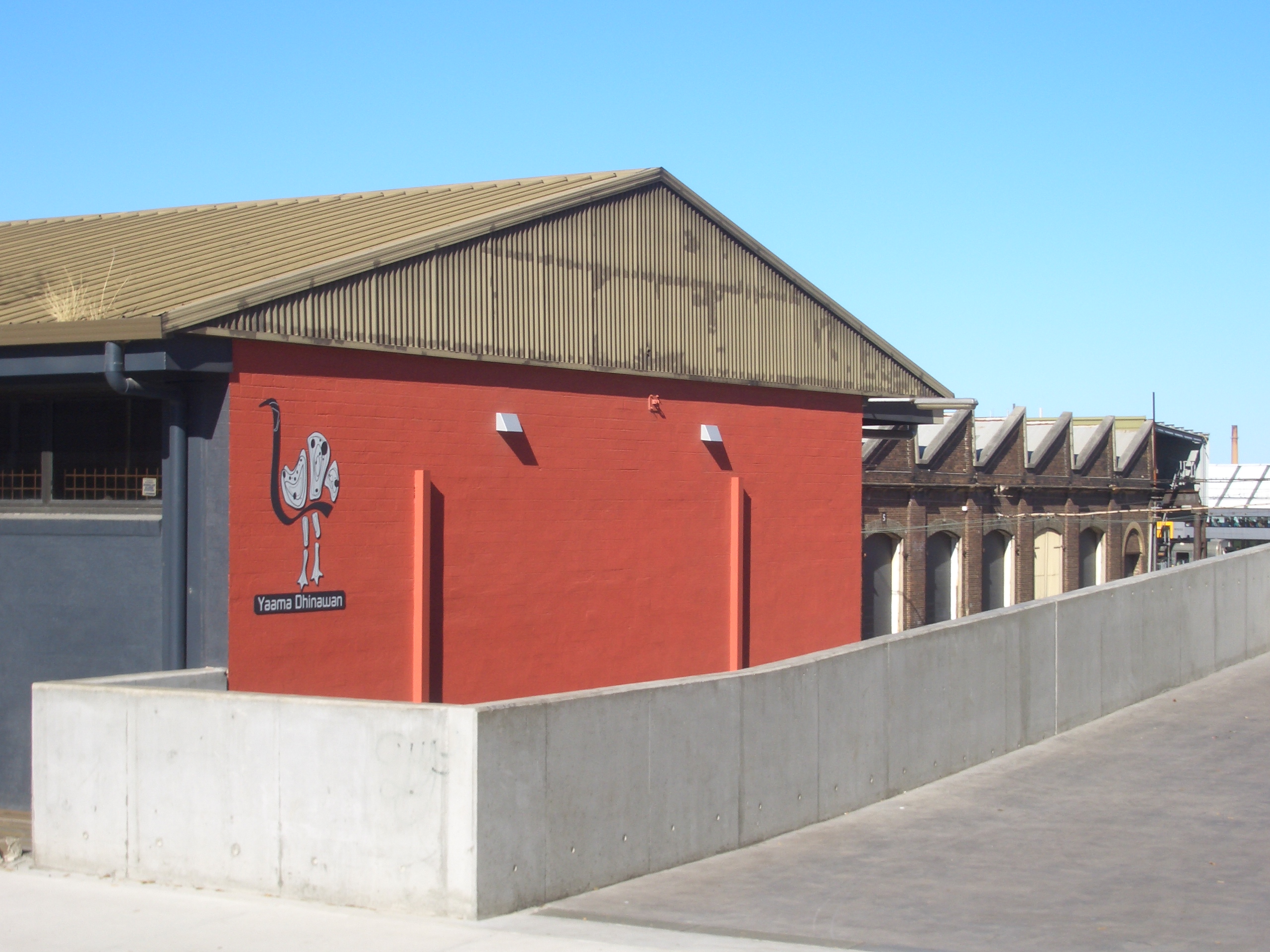
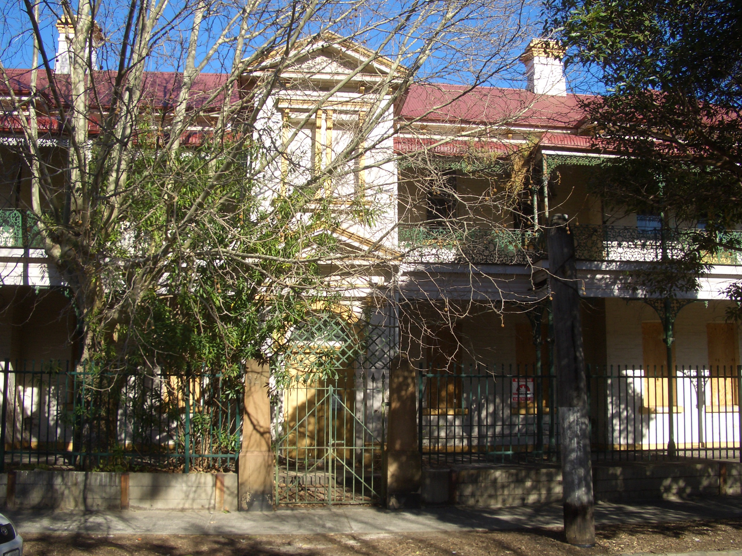
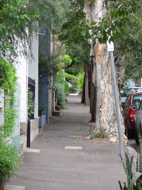
Gallery
-
Yaama Dhinawan, CarriageWorks
-
Railway building in Wilson Street
-

A typical street in Darlington
-
A typical back lane in Darlington
-

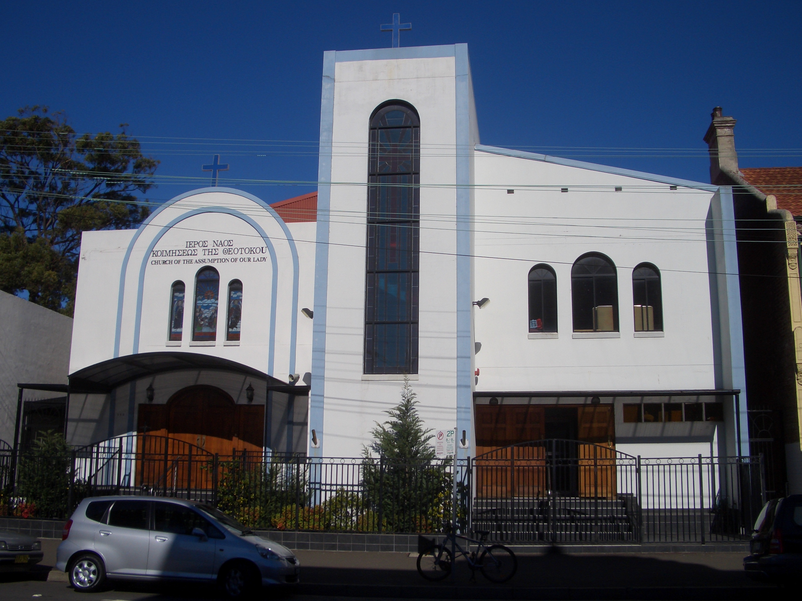
The Assumption of Our Lady, Greek Orthodox Church, Abercrombie Street
Notable residents
- Alfred Shout VC
References
- ^ Heiss, Anita Barani; Indigenous history of Sydney city City of Sydney
- ^ The Book of Sydney Suburbs, Compiled by Frances Pollon, Angus & Robertson Publishers, 1990, Published in Australia ISBN 0-207-14495-8, page 81
- ^ http://www.carriageworks.com.au/index.php
Coordinates: 33°53′25″S 151°11′48″E / 33.890334°S 151.19661°E
Suburbs and localities within the City of Sydney Suburbs Alexandria · Annandale · Barangaroo · Beaconsfield · Camperdown · Centennial Park · Chippendale · Darlinghurst · Darlington · Dawes Point · Elizabeth Bay · Erskineville · Eveleigh · Forest Lodge · Glebe · Haymarket · Millers Point · Moore Park · Newtown · Paddington · Potts Point · Pyrmont · Redfern · Rosebery · Rushcutters Bay · Surry Hills · Sydney CBD · The Rocks · Ultimo · Waterloo · Woolloomooloo · Zetland
Localities Categories:- Suburbs of Sydney
-

Wikimedia Foundation. 2010.