City Road, Sydney

City Road, Sydney
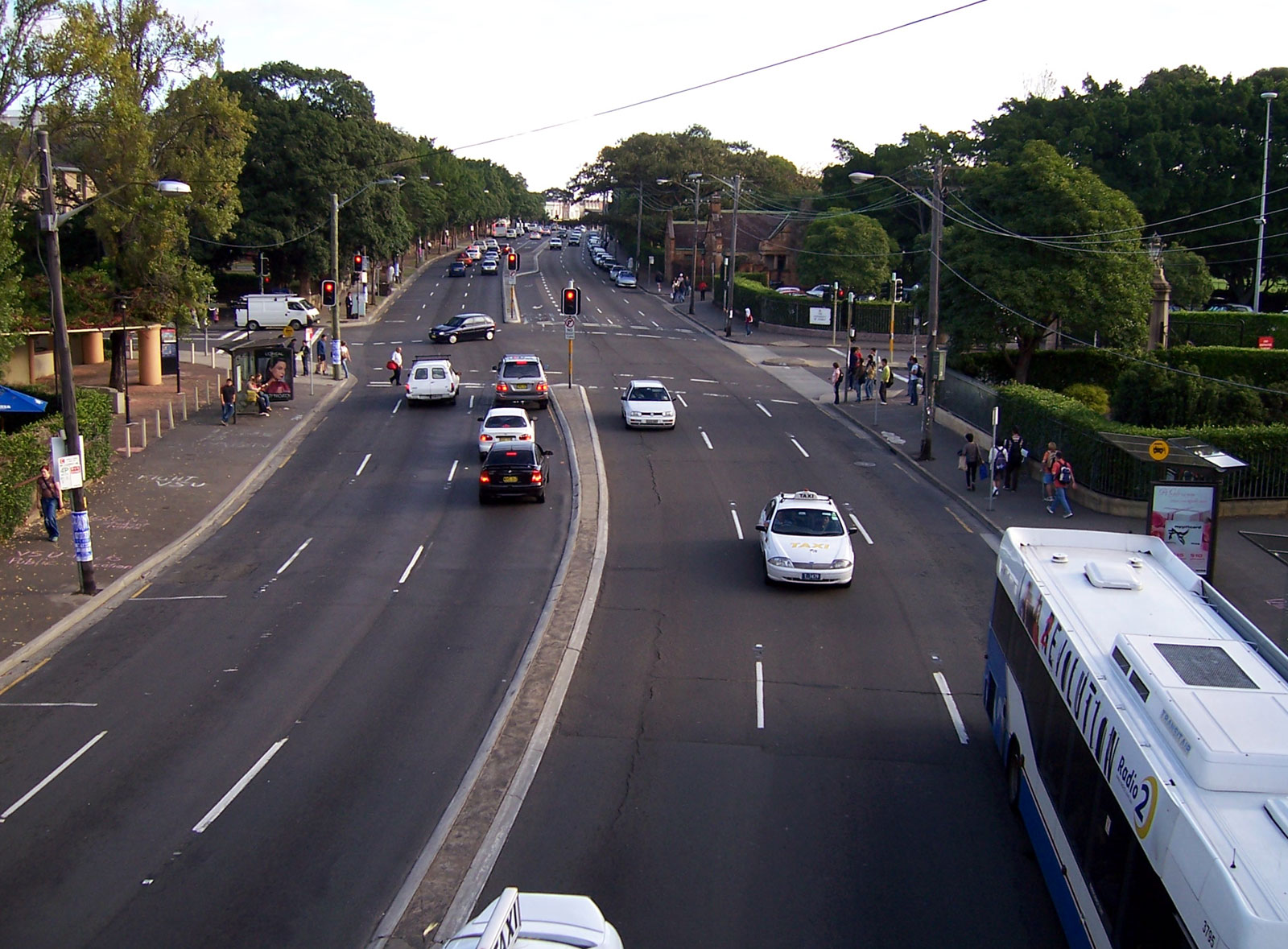
City Road, as viewed from the bridge spanning the Darlington and Camperdown campuses of the University of Sydney

City Road is a large thoroughfare in Sydney, New South Wales, Australia. City Road runs south from a junction with Broadway and Parramatta Road, through the University of Sydney and becomes King Street as it enters the suburb of Newtown.

History and description

The road was originally the beginning of the main route leading from Sydney to Wollongong and points south, known as the Princes Highway. Although short, it still functions today as the main connection between the city centre and inner-western suburbs such as Newtown, Marrickville and Canterbury. Passing by Victoria Park and the leafy University of Sydney campus, the road is somewhat more picturesque than most metropolitan roads.

City Road was formerly served by a busy electric tram service until the late 1950s when it was replaced by motor bus services.[1] Sydney Buses routes 352, 370, 422, 423, 426 and 428 now run along City Road.

References

  1. ^ Keenan, D. Tramways of Sydney. Transit Press 1979

Coordinates: 33°53′18″S 151°11′30″E / 33.88833°S 151.19167°E / -33.88833; 151.19167


Wikimedia Foundation. 2010.

Игры ⚽ Нужно решить контрольную?

Look at other dictionaries:

  • City Road (disambiguation) — City Road is a street in Islington. City Road may also refer to: City Road, Sydney, New South Wales, Australia City Road Baptist Church, a Baptist church on Upper York Street City Road Basin, part of the Regent s Canal in London City Road… …   Wikipedia

  • Old South Head Road, Sydney — Macquarie Lighthouse, Australia s first lighthouse, Old South Head Road, Vaucluse Old South Head Road is a road in Sydney which goes from the suburb of Bondi Junction to Watsons Bay. It also passes through Bondi, Bondi Beach, North Bondi, Rose… …   Wikipedia

  • Glebe Point Road, Sydney — Glebe Point Road is the main road of the inner city suburb of Glebe in Sydney, Australia. It is one of the leading restaurant, café and boutique shopping strips in Sydney and is known as one of its most cosmopolitan areas.LocationGlebe Point Road …   Wikipedia

  • Oakford City West Sydney (Sydney) — Oakford City West Sydney country: Australia, city: Sydney (Camperdown) Oakford City West Sydney At Oakford City West, experience the ultra modern urban lifestyle in a quaint Victorian streetscape while enjoying the comforts and convenience of… …   International hotels

  • Blacktown Road, Sydney — Blacktown Road is a secondary road which links the City of Blacktown to the M4 motorway in Sydney, Australia adjacent to the Great Western Highway.The road forms a part of the Prospect Highway, which is itself an important secondary road linking… …   Wikipedia

  • City of Bankstown — New South Wales Population: 186,108(2009) …   Wikipedia

  • City of Canterbury (New South Wales) — City of Canterbury New South Wales Population: 143,111(2009) …   Wikipedia

  • Sydney — Sydney …   Deutsch Wikipedia

  • New South Head Road, Sydney — New South Head Road, is a major road in the Eastern Suburbs of Sydney, Australia. The road runs north east from Rushcutters Bay through Edgecliff, Double Bay, Point Piper, Rose Bay and Vaucluse where it finally merges into Old South Head… …   Wikipedia

  • Sydney (Australia) — Hotels: Aarons Hotel Sydney (City) Accor Menzies Sydney (City) Airport Sydney International Inn (Airport) Ashfields Philip Lodge Motel (Ashfield) Avillion Hotel Sydney (City) …   International hotels

Share the article and excerpts

Direct link
Do a right-click on the link above
and select “Copy Link”