- Obed River
-
Obed River 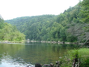
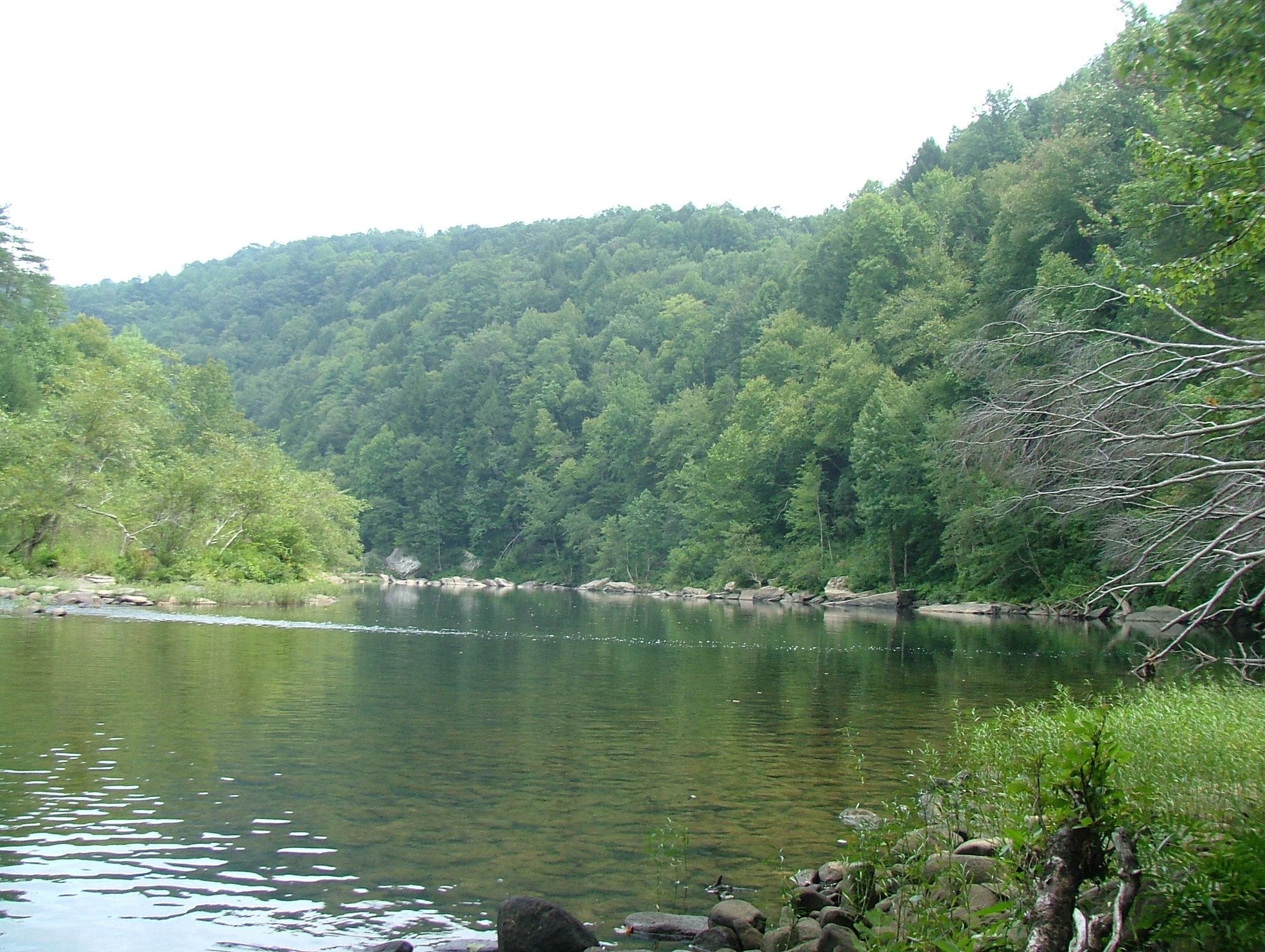
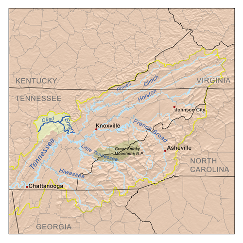
The Obed River at Alley Ford near Wartburg, TennesseeOrigin 35°55′07″N 85°06′47″W / 35.91867°N 85.11301°W [1] Mouth 36°04′31″N 84°38′59″W / 36.07535°N 84.64966°WCoordinates: 36°04′31″N 84°38′59″W / 36.07535°N 84.64966°W Basin countries USA Mouth elevation 846 ft (258 m) [1] Basin area 520 sq mi (1,300 km2)[2]  The Emory/Obed drainage basin, located within the upper Tennessee drainage basin
Obed River is a stream draining a part of the Cumberland Plateau in Tennessee. It, and particularly its tributaries, are important streams for whitewater enthusiasts.
The Obed River rises in Cumberland County, Tennessee, just south of Crossville. It is bridged by U.S. Highway 70 between downtown Crossville and the municipal airport, and meets its confluence with the Little Obed River near a bridge on U.S. Highway 70N and an abandoned railroad bridge which was formerly part of the rail system linking Nashville and Knoxville. Shortly thereafter, it is bridged by U.S. Highway 127 and Interstate 40. Except during periods of very high flow, the stream is scarcely visible from these bridges because of the depth of its gorge.
From there the stream enters a rather remote area. After several miles it is bridged by State Route 298 (Genesis Road). From this point to its mouth it is designated as a "National Wild and Scenic River" along with Clear Creek and Daddys Creek.[3] The direction of flow changes gradually from largely south to north to largely west to east. Shortly after crossing into Morgan County it receives the flow of Daddys Creek, which is a good whitewater rafting stream. Downstream from this is the mouth of Clear Creek. This stream is also part of the Obed River "Wild and Scenic" designation; like Daddys Creek, it too is a premiere whitewater stream during periods of high flow.
Several miles below the mouth of Clear Creek is the confluence with the Emory River. Although the Obed River is the larger of the two, the river takes the name of the Emory River below the confluence.
References
- ^ a b "Obed River". Geographic Names Information System, U.S. Geological Survey. http://geonames.usgs.gov/pls/gnispublic/f?p=gnispq:3:::NO::P3_FID:1303513.
- ^ "The Nature of the Obed River Watershed". Obed Watershed Community Association. p. 3. http://www.obedwatershed.org/files/Obed_Watershed.pdf. Retrieved October 5, 2011.
- ^ "Obed River". National Wild and Scenic Rivers. http://www.rivers.gov/wsr-obed.html. Retrieved July 11, 2011.
External links
- Access Map with putins and takeouts
- Obed Wild and Scenic River
- Obed River Kayaking, Hiking & Climbing
- Tennessee Scenic Rivers Association (TSRA)
Categories:- Rivers of Tennessee
- Wild and Scenic Rivers of the United States
- Protected areas of Cumberland County, Tennessee
- Protected areas of Morgan County, Tennessee
- United States National Park Service areas in Tennessee
Wikimedia Foundation. 2010.