- Oklahoma State Highway 55
-
State Highway 55

Route information Maintained by ODOT Length: 41.1 mi (66.1 km) Major junctions West end:  SH-34 in Carter
East end:  SH-54 in Lake Valley
Highway system Oklahoma State Highways
Oklahoma turnpike system← SH-54US-56  →
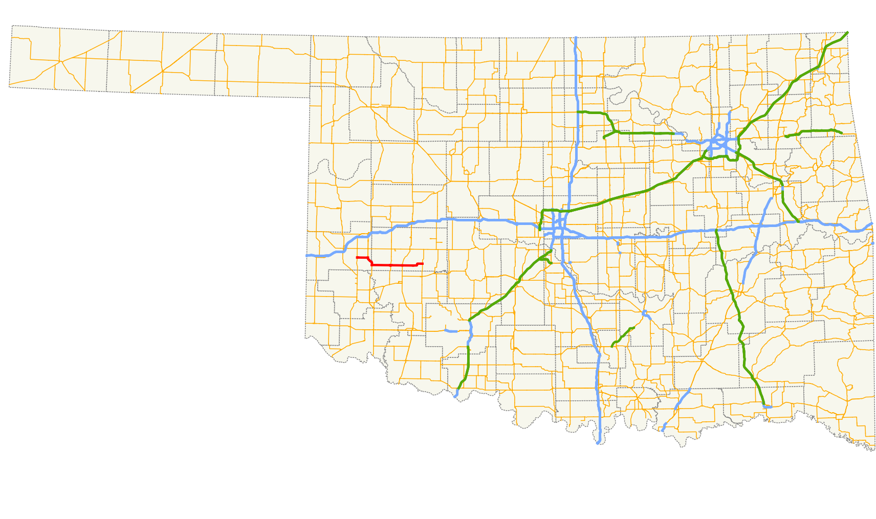
→State Highway 55 is a state highway in western Oklahoma. It runs for 41 miles[1] (66 km) from Carter, Oklahoma to the unincorporated community of Lake Valley. It has no lettered spur routes.
Route description
SH-55 begins at State Highway 34 in Carter, in eastern Beckham Co.. It heads east for six miles (10 km), where it meets State Highway 6 and overlaps it to the south. After running along the Beckham/Washita Co. line, it splits off to the east near Retrop. It then meets State Highway 44 in Sentinel. Seven miles later it meets US-183 in Rocky. It then terminates at State Highway 54 in Lake Valley.
References
- ^ Stuve, Eric. "OK-55". OKHighways. http://www.okhighways.com/ok55.html. Retrieved 2006-11-09.
External links
Categories:- State highways in Oklahoma

Wikimedia Foundation. 2010.