- Maesglase
-
Maesglase 
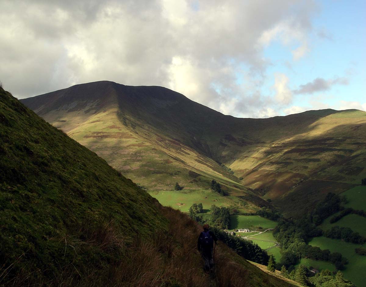
Elevation 676 m (2,218 ft) [citation needed] Prominence 313 m (1,027 ft) [citation needed] Listing Marilyn, Hewitt, Nuttall Translation blue/green stone (Welsh) Pronunciation Welsh: [maɪsˈɡlasɛ] Location Location Snowdonia, Wales Range Cadair Idris Topo map OS Explorer OL23 OS grid SH817150 Listed summits of Maesglase Name Grid ref Height Status Waun-oer 670 metres (2,198 ft) Hewitt, Nuttall Cribin Fawr 659 metres (2,162 ft) Hewitt, Nuttall Craig Portas 605 metres (1,985 ft) sub Hewitt Maesglase is a mountain in Snowdonia, North Wales, situated approximately four miles to the south-west of Aran Fawddwy. It is the highest of the "Dyfi Hills".[1]
It can be reached by an easy but steep walk through the forestry from Dinas Mawddwy or directly from the bwlch on the A470. Ascending Maesglase provides an opportunity to climb several other nearby peaks including Maen-Du, Craig Rhiw-erch, Waun-oer, Craig Portas and Cribin Fawr which are linked by a series of ridges and arêtes.
The precise location of the summit is the subject of some confusion. Traditionally, the top of Maen Du (674 m at SH823152) was regarded as Maesglase's summit. However, more recent surveys suggest that the top of Craig Rhiw-erch (c 676 m at SH817150, some 600 m to the west) is higher.[2] The geomorphology of these mountains is classical U-shaped glacial valleys with text-book examples of hanging valleys and intersecting valleys.
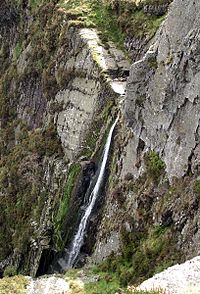 Hanging valley waterfall on flanks of Maesglase
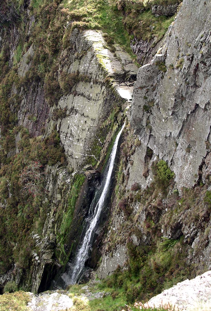
The eastern slopes are devoted to sheep farming whilst the western slopes are intensively forested.
Above the semi-improved grassland is some bracken but much of the higher ground is covered in typical Calluna / Erica communities interspersed with large areas of Juncus, Carex and Sphagnum bogs. The tops of Cribin Fawr are flat expanses of peat-hags. On the eastern flanks Bilberry (Vaccinium myrtillus) grows in abundance with Cowberry (Vaccinium vitis-idaea) common on the highest ground.
Half a mile to the west of the peak of Cribin Fawr at a high point of 659 metres is a stone boundary marker dated 1861 and inscribed CCC and bearing a benchmark. Maesglase waterfall has a total height of 160m.
References
- ^ Nuttall, John & Anne (1999). The Mountains of England & Wales - Volume 1: Wales (2nd edition ed.). Milnthorpe, Cumbria: Cicerone. ISBN 1-85284-304-7.
- ^ Dawson, Alan. "RHB Update". http://www.rhb.org.uk/marhofn/marhofn49/rhbupdat.htm. Retrieved 2006-10-06.
External links
Categories:- Marilyns of Wales
- Hewitts of Wales
- Mountains and hills of Snowdonia
- Nuttalls
Wikimedia Foundation. 2010.