- Massachusetts Route 137
-
Route 137
Route information Length: 6.99 mi[1] (11.25 km) Major junctions South end:  Route 28 in Chatham
 Route 39 in Harwich
 U.S. Route 6 in Harwich
 Route 124 in Brewster
North end:  Route 6A in Brewster
Highway system Massachusetts State Highway Routes
←  Route 136
Route 138  →
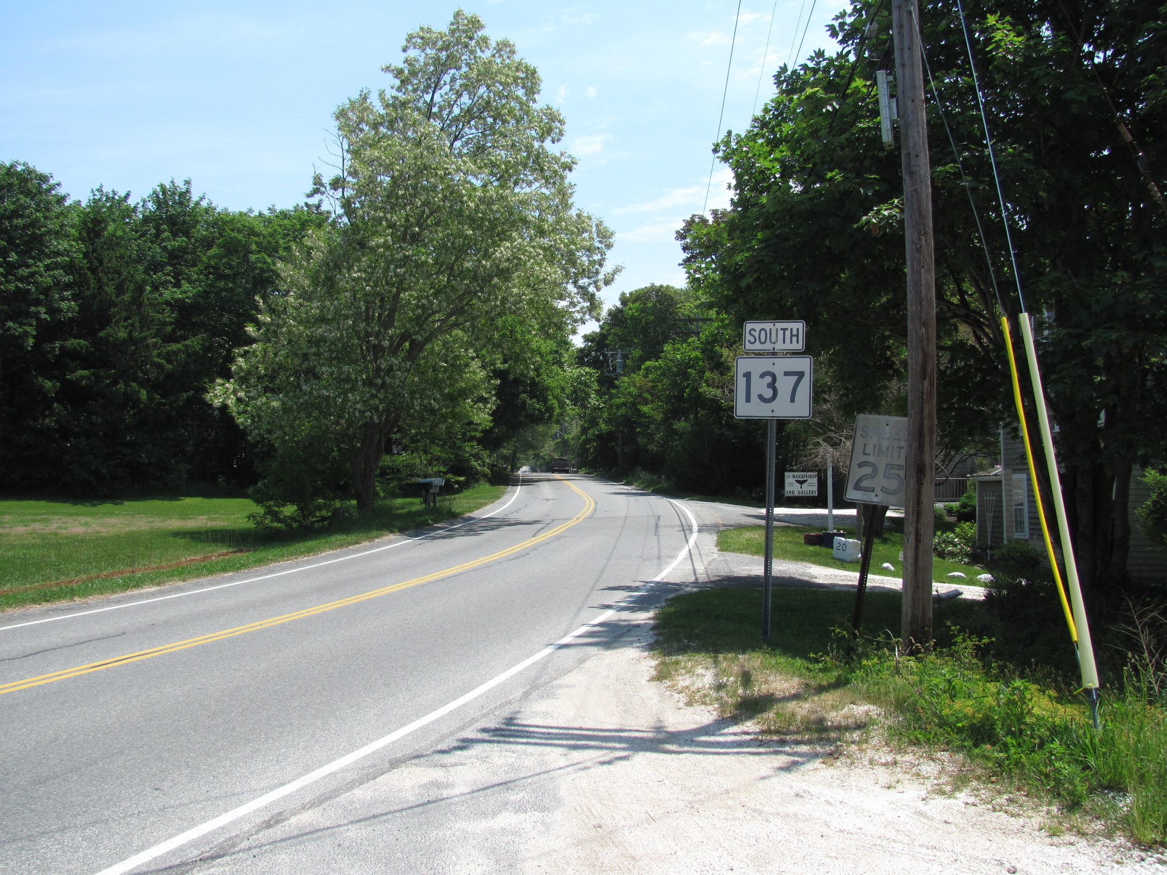
→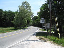 Southbound from Route 6A in Brewster
Route 137 is a north–south state route on Cape Cod, Massachusetts. It is located within the towns of Brewster, Harwich and Chatham.
Route 137 begins in Brewster at the intersection of Route 6A and Long Pond Road. It intersects with Route 124 after 0.3 miles (0.48 km) before continuing on through South Brewster, with the Cape Cod Rail Trail bike path intersecting one mile (1.6 km) south of Route 6A. The road enters Harwich just past the halfway point, and meets U.S. Route 6 (Mid-Cape Highway) just south of the town line at the highway's Exit 11. One and one-quarter miles south of the Mid-Cape Highway, the road intersects with Route 39. After another half-mile, the route bears 90 degrees right to the south at the intersection with Old Queen Anne Road, which is also the Chatham town line, before finally terminating at Route 28. The entire route of the highway is seven miles (11 km).
Summary of Route Mile Marker Intersection 7.0 Route 6A Terminus 6.7 Route 124 6.0 Cape Cod Rail Trail 3.4 Brewster-Harwich Town Line 3.2 Mid-Cape Highway, Westbound Access 3.0 Mid-Cape Highway, Eastboud Access 1.9 Route 39 1.2 Old Queen Anne Rd. (Harwich-Chatham Town Line) 0.0 Route 28 Terminus References
- ^ Executive Office of Transportation, Office of Transportation Planning - 2007 Road Inventory
Road transportation infrastructure of Cape Cod U.S. Routes  State Routes
State Roads Bridges See also: Cape Cod Canal Tunnel · Southside ConnectorCategories:- Numbered routes in Massachusetts
- Transportation in Barnstable County, Massachusetts
- Massachusetts road stubs


Wikimedia Foundation. 2010.