- Massachusetts Route 130
-
Route 130
Route information Length: 11.90 mi[1] (19.15 km) Major junctions South end:  Route 28 in Barnstable
 US 6 in Sandwich
North end:  Route 6A in Sandwich
Highway system Massachusetts State Highway Routes
←  Route 129A
Route 131  →
→Route 130 is a state highway in the U.S. state of Massachusetts. The southern terminus is at Route 28 in Barnstable. The northern terminus is at Route 6A in Sandwich.
Route description
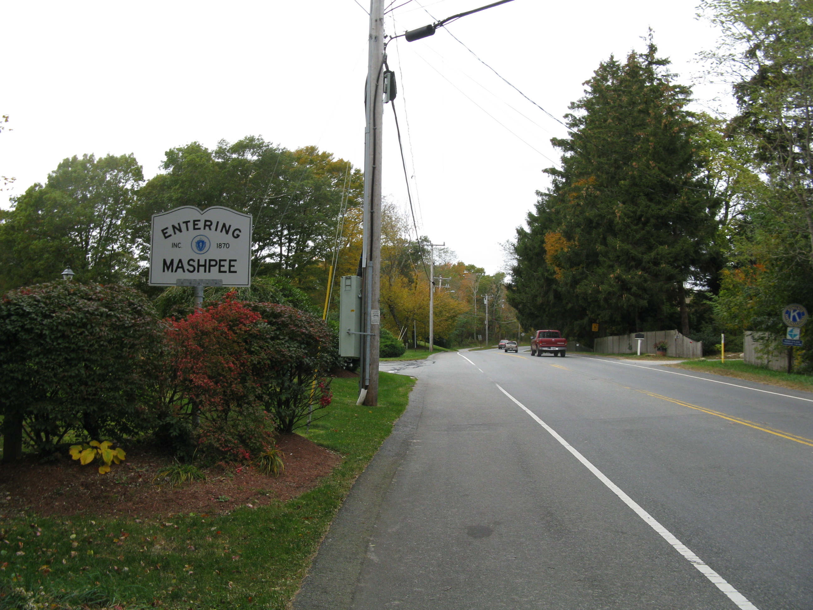
Route 130 begins in the Santuit section of Barnstable and enters Mashpee 0.2-mile (0.32 km) from the terminus and travels on a north–south path through Sandwich. The highway runs through the village of Forestdale in the southern section of the town. Later it intersects with US 6 at Exit 2 and then passes through the historic part of Sandwich, which includes such landmarks as the Dexter's Grist Mill, the Hoxie House, the Sandwich Glass Museum, and the Thorton W. Burgess Museum. Route 130 ends just before the town line with Bourne east of Sagamore.
-
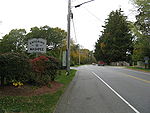
Northbound entering Mashpee
References
Road transportation infrastructure of Cape Cod U.S. Routes  State Routes
State Roads Bridges See also: Cape Cod Canal Tunnel · Southside ConnectorCategories:- Numbered routes in Massachusetts
- Transportation in Barnstable County, Massachusetts
- Massachusetts road stubs
-


Wikimedia Foundation. 2010.