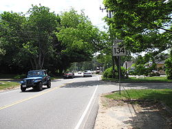
- Massachusetts Route 134
-
Route 134 Route information Length: 5.3 mi (8.53 km) Existed: 1930 – present Major junctions South end:  Route 28 in South Dennis
 U.S. Route 6 in Dennis
North end:  Route 6A in Dennis
Highway system Massachusetts State Highway Routes
←  Route 133
Route 135  →
→Route 134 is a north–south highway entirely within the town of Dennis on Cape Cod. It is slightly over 5 miles (8.0 km) in length and has a full cloverleaf interchange at U.S. Route 6 (exit 9A/9B). Except for its termini, Route 134 is almost entirely located within the village of South Dennis.
History
This highway has maintained the same route since at least 1930. A one mile (1.6 km) section south of Route 6 was widened to four lanes in the 1980s due to heavy commercial development. The remainder of the highway is mostly residential.
References
Road transportation infrastructure of Cape Cod U.S. Routes State RoutesState Roads Bridges See also: Cape Cod Canal Tunnel · Southside ConnectorCategories:- Numbered routes in Massachusetts
- Transportation in Barnstable County, Massachusetts
Wikimedia Foundation. 2010.


