- County Route 501 (New Jersey)
-
County Route 501
Route information Length: 53.07 mi[1] (85.41 km) Southern section Length: 10.12 mi[1] (16.29 km) South end:  CR 529 in South Plainfield
Major
junctions: I-287 in Edison
 Route 27 in Metuchen
 US 1 in Edison

 G.S. Pkwy. / US 9 in Woodbridge
North end: 
 Route 440/NY 440 in Perth Amboy
Northern section Length: 30.12 mi[1] (48.47 km) South end: Route 440/NY 440 in BayonneMajor
junctions: Route 139 in Jersey City
 Route 495 in Union City

 US 1-9 / US 46 in Palisades Park
 Route 4 in Englewood
North end:  NY 340 in Rockleigh
Highway system County routes in New Jersey
500-series←  CR 585
CR 502  →
→County Route 501 is a county highway in New Jersey in two sections spanning Middlesex, Hudson and Bergen Counties. The southern section runs from South Plainfield to Perth Amboy, the northern section runs from Bayonne to Rockleigh, and the two sections are connected by New York State Route 440 across Staten Island.
The New Jersey Department of Transportation lists CR 501 as a single highway with a length of 53.07 miles (85.41 km), which includes both sections as well as the connection along NY-440.
Contents
Route description
Middlesex County
The Southern terminus of County Route 501 is at CR 529 in South Plainfield. From there, the route heads east to Metuchen, where it has a short concurrency with Route 27. It then continues east, crossing the Garden State Parkway between Exits 127 and 129 in Woodbridge, following concurrencies with Route 184 and Route 440 to the southern section's eastern terminus at the Outerbridge Crossing.
Hudson County (John F. Kennedy Boulevard)
The northern section of CR 501 starts at the Route 440/Bayonne Bridge junction in Bayonne, making its way north to Route 63 in North Bergen. The highway crosses Route 139 to the Holland Tunnel and Route 495 to the Lincoln Tunnel.
At its junction with Route 63 in North Bergen, CR 501 begins a concurrency with Route 63 into Bergen County, while John F. Kennedy Boulevard loops around the northern end and heads south to Guttenberg, West New York and Weehawken.
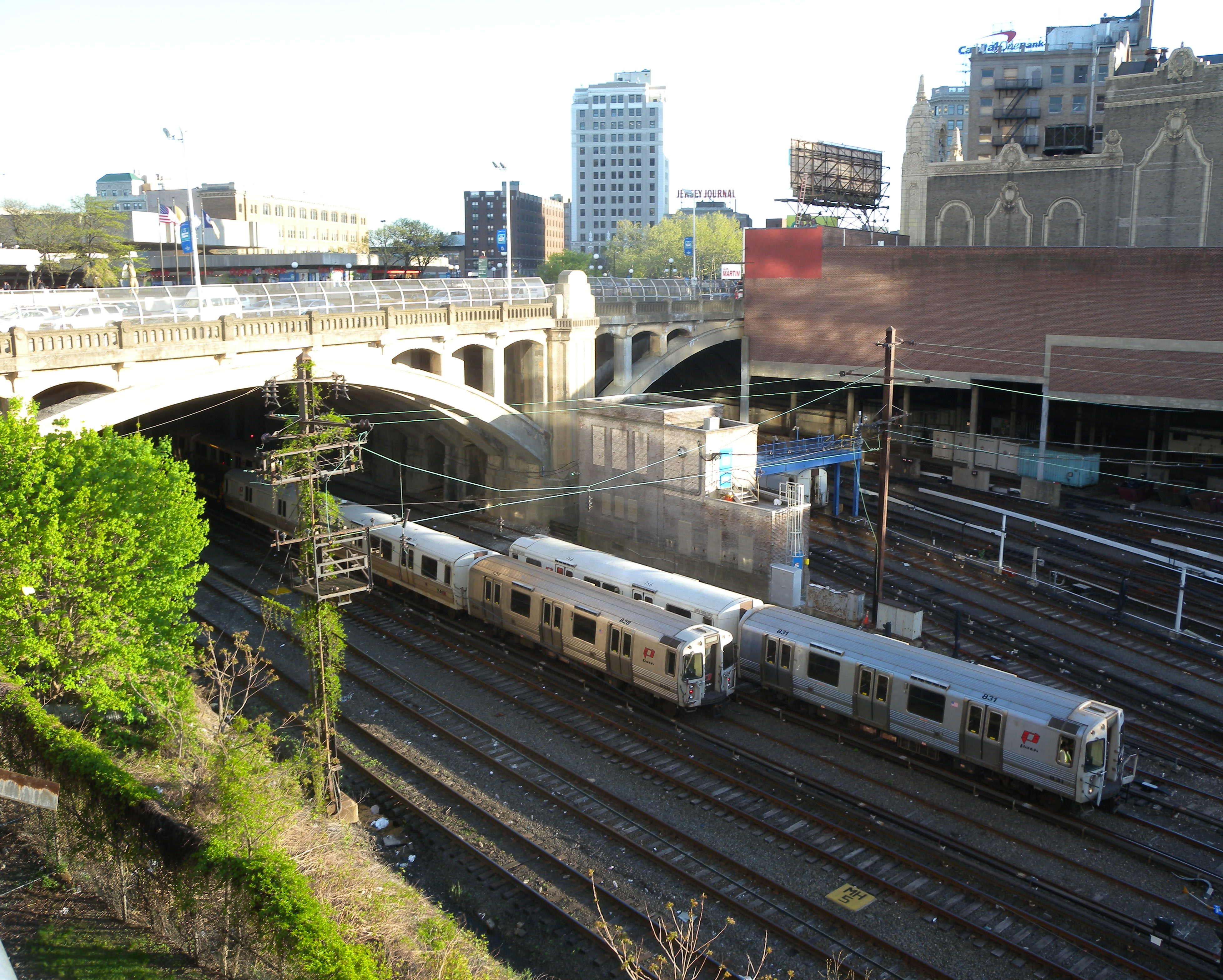
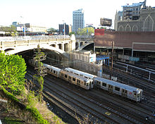 Hudson County Boulevard Bridge
Major points on CR 501/Kennedy Boulevard include Marist High School, New Jersey City University, Saint Peter's College, Journal Square, Union City High School, and four County parks: Stephen R. Gregg (Bayonne) Park and Mercer Park in Bayonne, Lincoln Park in Jersey City and James J. Braddock (North Hudson) Park in North Bergen.
Immediately northeast of Journal Square, CR 501/Kennedy Boulevard crosses over Port Authority Trans-Hudson (PATH) railroad tracks on an open-spandrel concrete arch bridge completed in 1926. The bridge is a pared-down version of a more ambitious elevated plaza scheme proposed by consulting engineer Abraham Burton Cohen. Cohen's office constructed a model using slot cars to demonstrate traffic flow through the plaza.[2]
Prior to being renamed in honor of John F. Kennedy in the 1960s, the street was known as Hudson Boulevard. While there was discussion of building a county long road as early as the 1870s,[3] parts of Hudson County Boulevard were officially opened in 1896.[4][5][6] By 1913 it was completed, and considered to be fine for "motoring",[7] and included Boulevard East. Taken as a single road, the circuitous route of west and east sections of the entire boulevard runs from the southern tip of the county at Bergen Point to its northern border with Bergen County and south again to the Hoboken city line.[8]
The Boulevard was named the fifth most dangerous road for pedestrians in New Jersey, and the most dangerous road in Hudson County for pedestrians in a February 2011 report by the non-profit Tri-State Transportation Campaign. The road was the location of six pedestrian fatalities between 2007 and 2009, which account for a little more than a fifth of Hudson County's 29 pedestrian deaths in the three-year period.[9] County officials have expressed interest in building a pedestrian bridge that crosses Kennedy Boulevard at 32nd Street, at the Union City-North Bergen border at least since 2001.[10] The two cities contracted a company to build the bridge for just over $4 million in November 2010.[11]
Bergen County
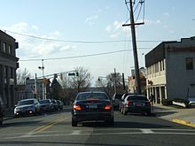 County Route 501 in Palisades Park, New Jersey as Central Blvd
In Bergen County, CR 501 leaves its concurrency with Route 63 in Palisades Park, using Central Boluevard to connect to the US 1/9/46 concurrency and Route 93. It is then concurrent with Route 93 until it reaches that route's northern terminus at Route 4 in Englewood. CR 501 continues north from this junction through Rockleigh, crossing the New York State Line and becoming New York State Route 340.
Major intersections
County Location Mile[1] Destinations Notes Middlesex South Plainfield 0.00 CR 529 (Stelton Road)Southern terminus Edison 2.03 I-287I-287 exit 3 Metuchen 3.36 Route 27 north (Middlesex Avenue)West end of NJ 27 overlap 3.61 Route 27 south (Lake Avenue)East end of NJ 27 overlap 3.81  CR 531 (Main Street)
Edison 4.68 US 1Interchange 5.70  CR 514 (Woodbridge Avenue)
Woodbridge Township 6.99  Route 184
West end of NJ 184 overlap 7.10 G.S. Pkwy.GSP exit 129 7.33 US 9Interchange Perth Amboy 8.22 Route 184 east / Route 440 southInterchange, east end of NJ 184 overlap, west end of NJ 440 overlap 8.38  Route 35
Interchange 8.65  CR 653 (Amboy Avenue) to Route 440 north
Northbound exit is via NJ 35 exit 9.23  CR 611 (State Street) – Perth Amboy
Northbound exit and southbound entrance 10.12 NY 440 northOuterbridge Crossing over Arthur Kill, northern terminus of first segment Hudson Bayonne 22.95 NY 440 southBayonne Bridge over Kill van Kull, southern terminus of second segment 23.71 Avenue A Southbound exit and entrance 23.73 Route 440 northInterchange, north end of NJ 440 overlap 27.12 Route 440Interchange, access via West 63rd Street Jersey City 31.15 Route 139 (State Highway)Western terminus of NJ 139 upper level North Bergen 34.03 Route 495Interchange Union City 34.35-34.39  CR 505 north (37th Street/38th Street)
North Bergen 37.21  Route 63
South end of NJ 63 overlap Bergen Fort Lee 39.13  Route 5
Access provided by way of Bergen Boulevard Palisades Park 39.62 Route 63 northNorth end of NJ 63 overlap 39.90 US 1-9 / US 46Interchange, access provided by 5th Street/6th Street 40.52  Route 93 south
South end of NJ 93 overlap Englewood 42.78 Route 4Interchange 42.86 Van Nostrand Avenue Northern terminus of NJ 93 43.86 CR 505 (Palisades Avenue)Closter 49.61 CR 502 (Old Closter Dock Road)Rockleigh 53.07 NY 340 northNew York border, northern terminus 1.000 mi = 1.609 km; 1.000 km = 0.621 mi See also
 U.S. Roads portal
 New Jersey portal
References
- ^ a b c d New Jersey County Route 501 Straight Line Diagram from the New Jersey Department of Transportation
- ^ Cohen, A. Burton. "Hudson County Boulevard Bridge Plaza." Purdue Engineering Review 21, No. 4 (May 1926): 3-6, 22.
- ^ "The old and the New - The Opposition and the Proposed Route". The New York Times. August 12, 1873. http://query.nytimes.com/mem/archive-free/pdf?_r=1&res=9E0DE5D71F38E333A25751C1A96E9C946290D7CF. Retrieved March 29, 2010.
- ^ "JERSEY CITY'S BICYCLE PARADE.; It Was Held Yesterday on the Hudson Boulevard and Was a Big Thing.". The New York Times. August 30, 1896. http://query.nytimes.com/gst/abstract.html?res=9D06E2D81E3AE533A25753C3A96E9C94679ED7CF. Retrieved March 26, 2010.
- ^ "The old and the New - The Opposition and the Proposed Route". The New York Times. August 12, 1873. http://query.nytimes.com/mem/archive-free/pdf?_r=1&res=9E0DE5D71F38E333A25751C1A96E9C946290D7CF. Retrieved March 29, 2010.
- ^ "Opening the Boulevard". The New York Times. 1896. http://query.nytimes.com/mem/archive-free/pdf?res=9F00EFDA113AE533A2575AC2A9679D94649ED7CF. Retrieved 2010-07-02.
- ^ "Short Runs Near Town Pleasant Now". The New York Times. March 23, 1913. http://query.nytimes.com/mem/archive-free/pdf?res=F30A13F6385F13738DDDAA0A94DB405B838DF1D3. Retrieved 2020-09-23.
- ^ "Save the Palisades Cyclists to work for this purpose and the Hudson County Boulevard". The New York Times. November 11, 1895. http://query.nytimes.com/mem/archive-free/pdf?res=F20D12FA3A5E10738DDDA80994D9415B8585F0D3. Retrieved 2010-12-06.
- ^ "Kennedy Boulevard named fifth most dangerous road in New Jersey for pedestrians", The Hudson Reporter, March 21, 2011
- ^ Hague, Jim. "Pedestrian bridge set for North Bergen-Union City? County officials receive grant that will check feasibility of overpassRead more: Hudson Reporter - Pedestrian bridge set for North Bergen Union City County officials receive grant that will check feasibility of overpass", The Hudson Reporter, August 19, 2011
- ^ BOARD OF CHOSEN FREEHOLDERS COUNTY OF HUDSON: CAUCUS AGENDA: MONDAY, November 22, 2010, HudsonCountyNJ.com
External links
Categories:- County routes in New Jersey
- County Routes in Hudson County, New Jersey
- Interstate 87
- Transportation in Hudson County, New Jersey
- Transportation in Middlesex County, New Jersey
- Transportation in Bergen County, New Jersey
- Lincoln Highway


Wikimedia Foundation. 2010.