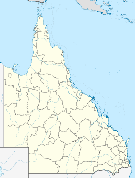
- Donnybrook, Queensland
-
Donnybrook
QueenslandPopulation: 456[1] Postcode: 4510 Location: - 62 km (39 mi) N of Brisbane central business district
- 20 km (12 mi) NE of Caboolture
LGA: Moreton Bay Region State District: Pumicestone Federal Division: Longman Localities around Donnybrook: Elimbah Beerburrum Pumicestone Channel Elimbah Donnybrook Pumicestone Channel Toorbul Meldale Pumicestone Channel Donnybrook is a small village 60 km north of Brisbane, the state capital of Queensland, Australia. At the 2006 census, Donnybrook had a population of 456.[1]
It started out as a small fishing community but has since developed into a minor tourist destination. Fishing is still popular due to its proximity to Pumicestone Passage which opens up in Moreton Bay to the south, and Caloundra to the north. The passage separates Bribie Island from the mainland. The closest major population centre is Caboolture, 20 km to the west.
Contents
History
The town name was approved by the Queensland Place Names Board on 1 October 1975. The name itself appears to be derived from a corroboree site, or because of fights amongst oyster gatherers at weekend camps.
In 1985, an unsealed road running along the waterfront was named Grant Lane after Robert Grant (1895-1991) for his 90th birthday, a popular local who everyone knew as "Pop". A few years later the road was sealed after he had complained for years of the dust produced by all the passers by. Pop died on 15 November 1991.
Sand mining and sewerage works have recently been proposed for the area.
Activities
There are a number of activities available at Donnybrook. Fishing is the most popular, although due to commercial fishing many years ago the quantity and quality of catches has dwindled somewhat. Mud crabs[disambiguation needed
 ] were once sizable and in abundance. Fishing enthusiasts should be aware that parts of the passage have been declared a Marine Park.
Camping and caravan sites are available for a few days of rest and relaxation. A number of water sports are available along the passage, but normally require travelling to Bribie Island.
The passage is also a great place for sailing and wind surfing, and is frequented by dolphins, dugongs and turtles.
References
- ^ a b Australian Bureau of Statistics (25 October 2007). "Donnybrook (L) (Urban Centre/Locality)". 2006 Census QuickStats. http://www.censusdata.abs.gov.au/ABSNavigation/prenav/LocationSearch?collection=Census&period=2006&areacode=UCL317700&producttype=QuickStats&breadcrumb=PL&action=401. Retrieved 2008-01-27.
External links
Coordinates: 27°00′17″S 153°04′11″E / 27.00472°S 153.06972°E
Categories:- Towns in Queensland
- Suburbs of Moreton Bay Region
- Queensland geography stubs
Wikimedia Foundation. 2010.

