- Bodíky
-
Bodíky
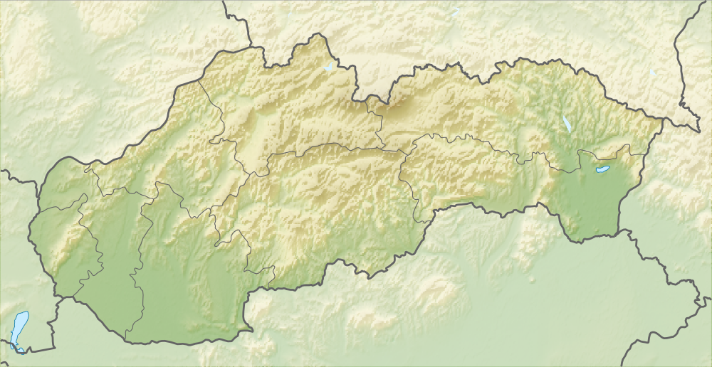
Nagybodak— village — Location of the village

Coordinates: 47°55′30″N 17°27′30″E / 47.925°N 17.45833°ECoordinates: 47°55′30″N 17°27′30″E / 47.925°N 17.45833°E Country  Slovakia
Region Trnava District Dunajská Streda First written mention 1272 Government – Mayor Róbert Soós [1] (Party of the Hungarian Coalition) Area – Total 24.75 km2 (9.6 sq mi) Elevation 119 m (390 ft) Population (2001)[2] – Total 317 – Estimate (2008) 273 – Density 11/km2 (28.5/sq mi) Etnicity[2] – Hungarians 96,53% – Slovakians 1,58% Time zone EET (UTC+1) – Summer (DST) EEST (UTC+2) Postal Code 930 29 Area code(s) +421 31 Website Village website Bodíky (Hungarian: Nagybodak, Hungarian pronunciation:[’nɒɟbodɒk]) is a village and municipality in the Dunajská Streda District in the Trnava Region of south-west Slovakia.
It has a public water-supply system and sewage system connected to sewage disposal plant. There is a football playground and a public library in the village.
History
Until the end of World War I, it was part of Hungary. In the 15th century, the village belonged to the Pressburg Castle. After the 17th century the Amadé, Kánya, Cseszneky and Pálffy families were the most important land-owners in the village.
The village administratively fell within the Dunaszerdahely district of Pozsony County in the Kingdom of Hungary. After the Austro-Hungarian army disintegrated in November 1918, Czechoslovakian troops occupied the area. Under the Treaty of Trianon of 1920, it became officially part of Czechoslovakia and fell within Bratislava County until 1927. In November 1938, the First Vienna Award granted the area to Hungary and it was held by Hungary until 1945. After Soviet occupation in 1945, Czechoslovakian administration returned and the village became officially part of Czechoslovakia by the Paris Peace Treaties in 1947.
References
Dunajská Streda • Šamorín • Veľký Meder
Báč • Baka • Baloň • Bellova Ves • Blahová • Blatná na Ostrove • Bodíky • Boheľov • Čakany • Čenkovce • Čiližská Radvaň • Dobrohošť • Dolný Bar • Dolný Štál • Dunajský Klátov • Gabčíkovo • Holice • Horná Potôň • Horné Mýto • Horný Bar • Hubice • Hviezdoslavov • Jahodná • Janíky • Jurová • Kľúčovec • Kostolné Kračany • Kráľovičove Kračany • Kútniky • Kvetoslavov • Kyselica • Lehnice • Lúč na Ostrove • Macov • Mad • Malé Dvorníky • Medveďov • Michal na Ostrove • Mierovo • Nový Život • Ňárad • Ohrady • Okoč • Oľdza • Orechová Potôň • Padáň • Pataš • Povoda • Rohovce • Sap • Štvrtok na Ostrove • Topoľníky • Trhová Hradská • Trnávka • Trstená na Ostrove • Veľká Paka • Veľké Blahovo • Veľké Dvorníky • Vieska • Vojka nad Dunajom • Vrakúň • Vydrany • Zlaté Klasy Categories:
- Villages and municipalities in Dunajská Streda District
- Hungarian communities in Slovakia
- Trnava Region geography stubs
Wikimedia Foundation. 2010.