- Okoč
-
Okoč Village 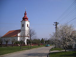
Country Slovakia Region Trnava District Dunajská Streda Elevation 112 m (367 ft) Coordinates 47°53′N 17°49′E / 47.883°N 17.817°E Area 63.427 km2 (24.49 sq mi) Population 3,794 (2008-12-31) Density 60 / km2 (155 / sq mi) First mentioned 1268 Mayor László Polák Postal code 930 28 Car plate DS 

 Location of Okoč in Slovakia
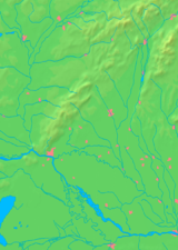
 Location of Okoč in the Trnava Region
Statistics: MOŠ/MIS Local election 2010 results by the Statistical Office of the Slovak Republic
Okoč (Hungarian: Ekecs, Hungarian pronunciation:[’ɛkɛtʃ]) is a village and municipality in the Dunajská Streda District in the Trnava Region of south-west Slovakia.
Contents
Component villages
The municipality comprises the following villages and manors:
In Slovakian In Hungarian Opatovský Sokolec Apácaszakállas Asód Aszódpuszta Jánošíkovo na Ostrove Béle Okoč Ekecs Nový Goľáš Gólyás Veľký Sek Nagyszegmajor Dropie Túzokpuszta Viharoš Viharos Demography
In 1910, the village had 544, for the most part, Hungarian inhabitants. At the 2001 Census the recorded population of the village was 3804 while an end-2008 estimate by the Statistical Office had the villages's population as 3794. As of 2001, 92,53 per cent of its population was Hungarian while 6,07 per cent was Slovakian. Roman Catholicism is the majority religion of the village, its adherents numbering 60.52% of the total population. [1]
History
In historical records the village was first mentioned in 1268 by it Hungarian name as Ekech. The village was first recorded in 1468 as the estate of the Dóczy family. Until the end of World War I, it was part of Hungary and fell within the Csallóköz district of Komárom County. Until the end of the 19th century, villagers made their living by fishing on the Danube and the Small-Danube. After the Austro-Hungarian army disintegrated in November 1918, Czechoslovakian troops occupied the area. After the Treaty of Trianon of 1920, the village became officially part of Czechoslovakia. In November 1938, the First Vienna Award granted the area to Hungary and it was held by Hungary until 1945. After Soviet occupation in 1945, Czechoslovakian administration returned and the village became officially part of Czechoslovakia in 1947. The present municipality was formed in 1976 when Opatovský Sokolec (Apácaszakállas) and Okoč (Ekecs) were unified following the merger of the respective agricultural co-operatives in 1973.
Geography
The municipality lies at an altitude of 112 metres and covers an area of 63.426km².
Picture gallery
Okoč (Ekecs)
-

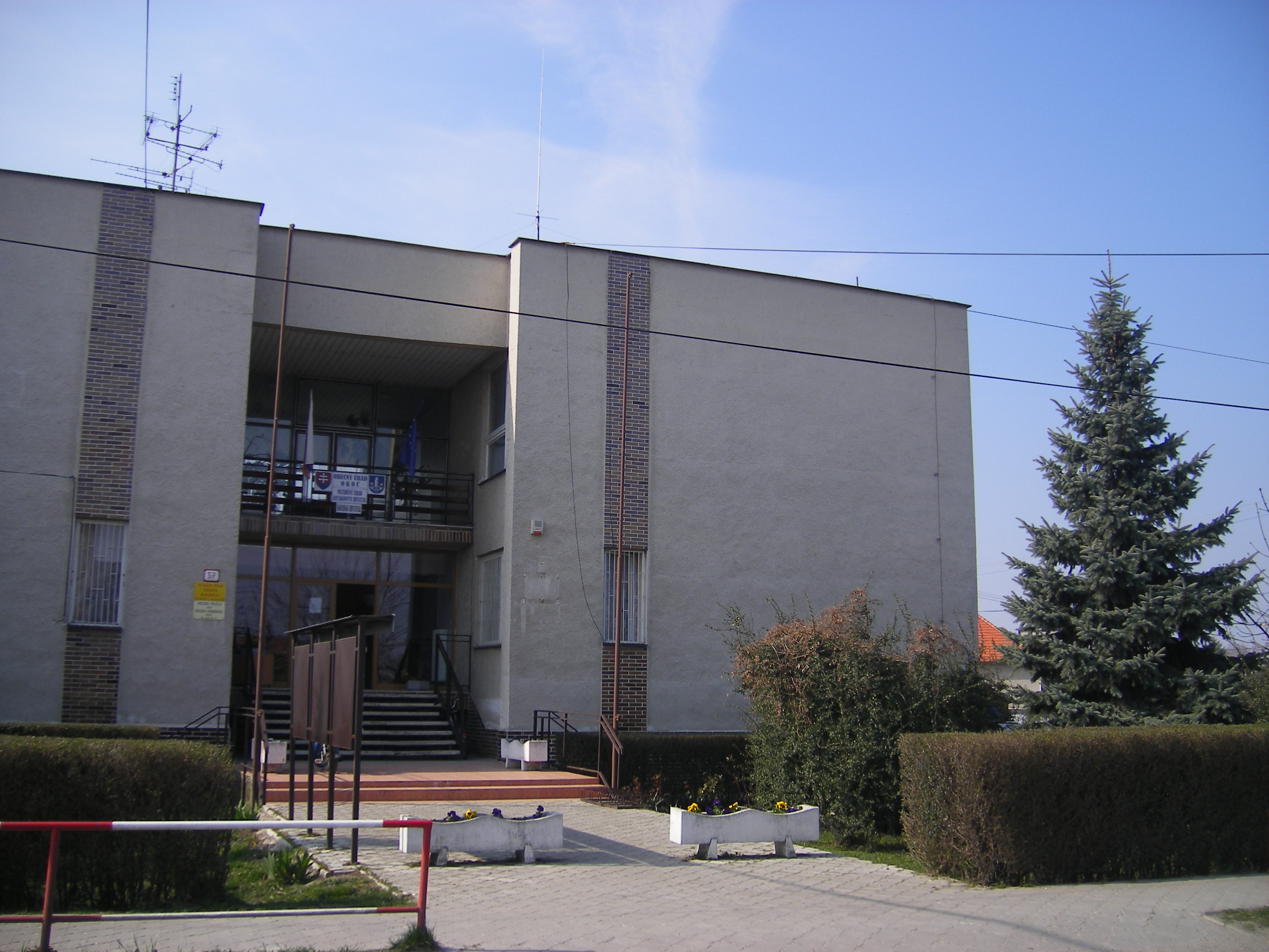
The village hall built in the 1980s
-
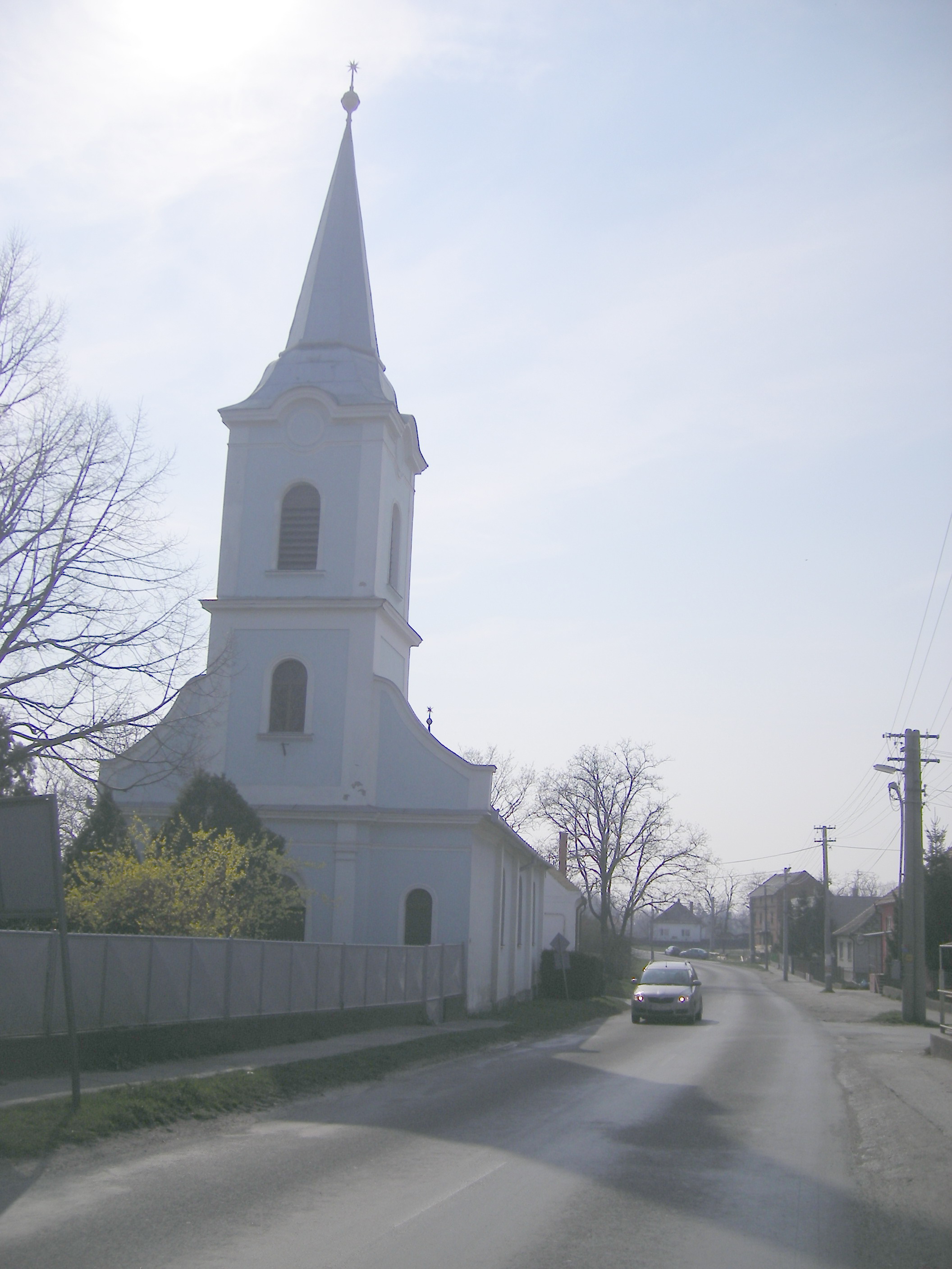
The Hungarian Reformed church
-
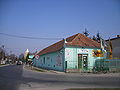
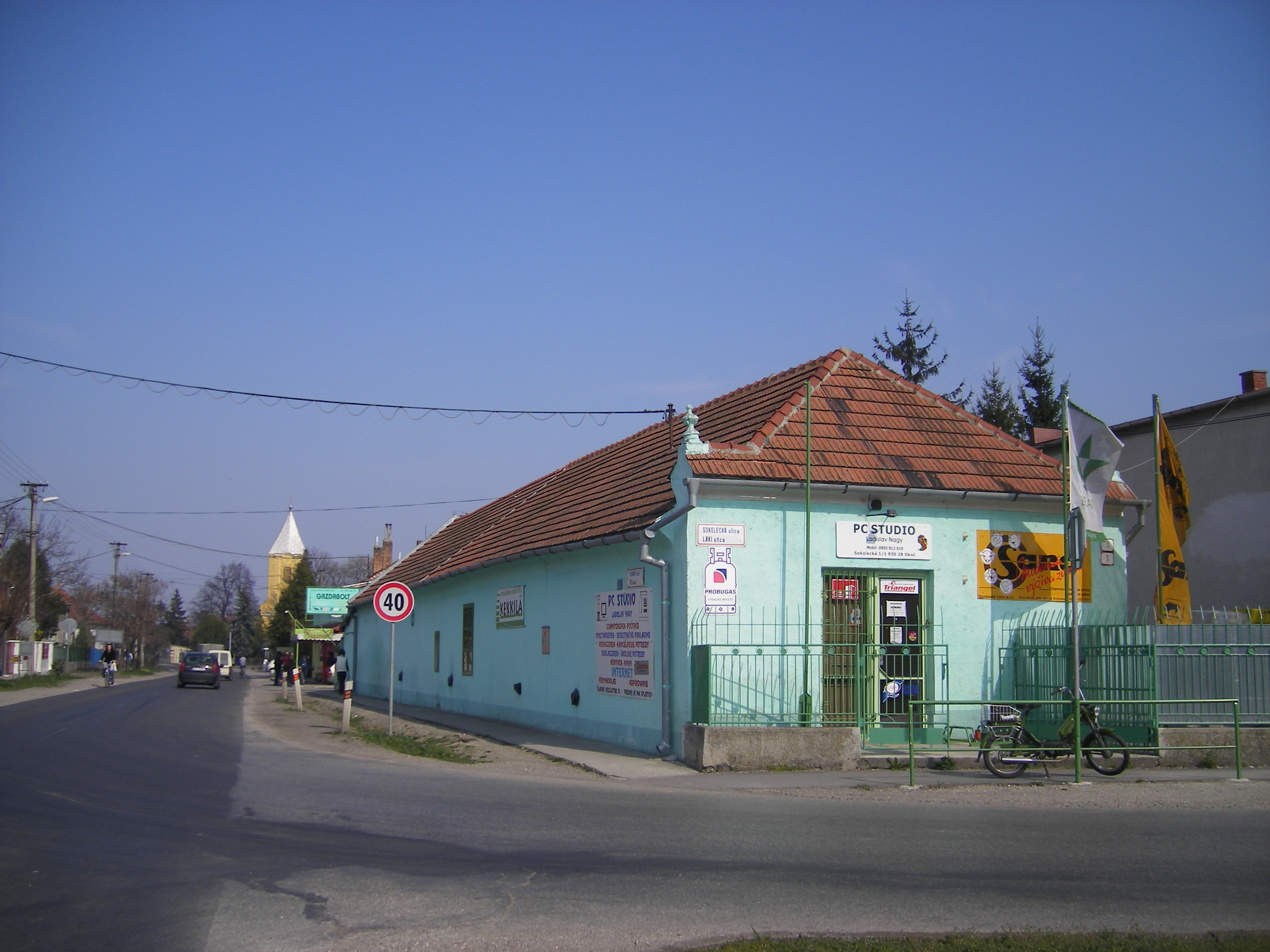
The corner of Laki and Main street
-
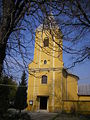
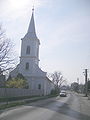
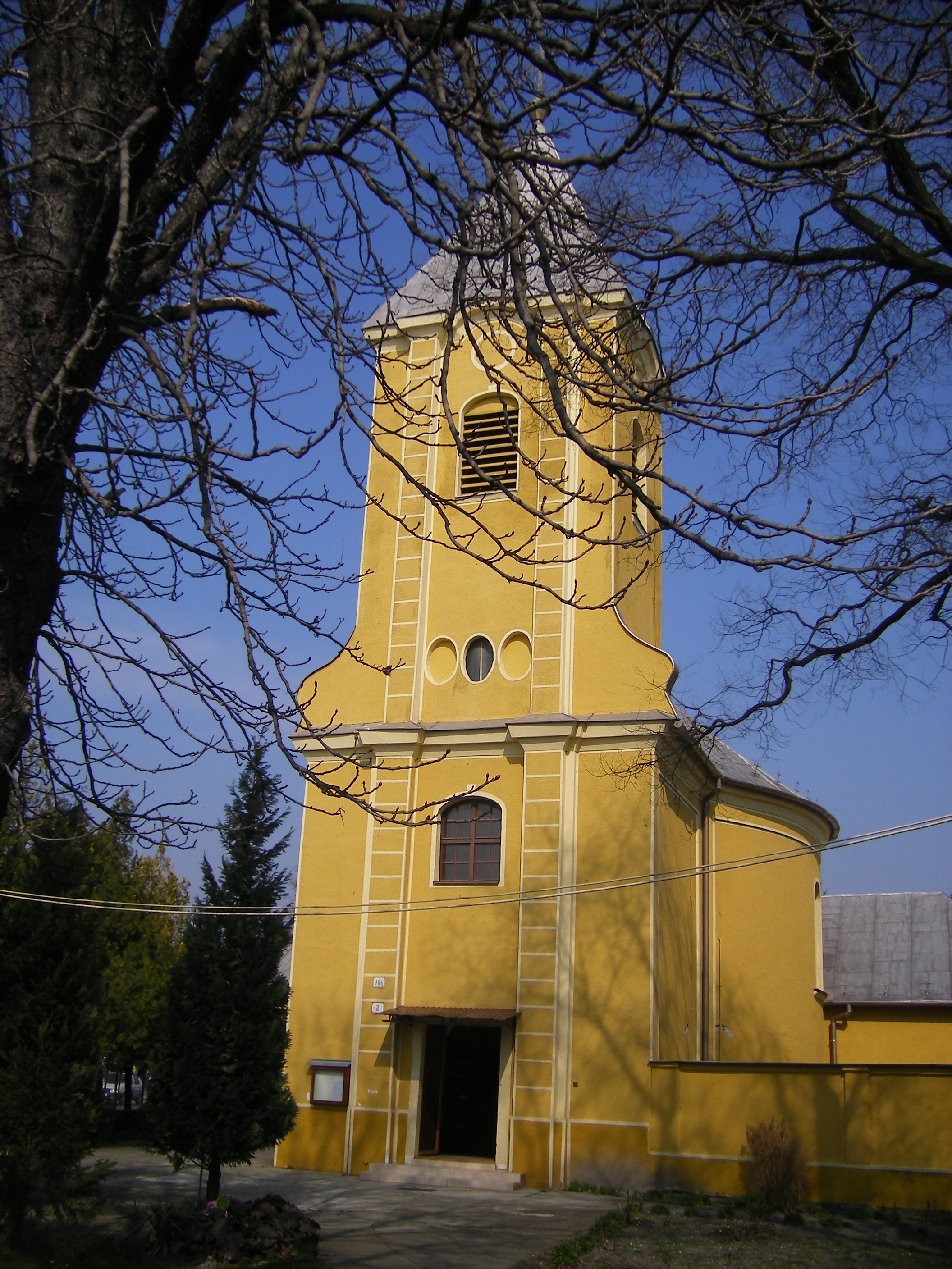
The Roman Catholic parish church
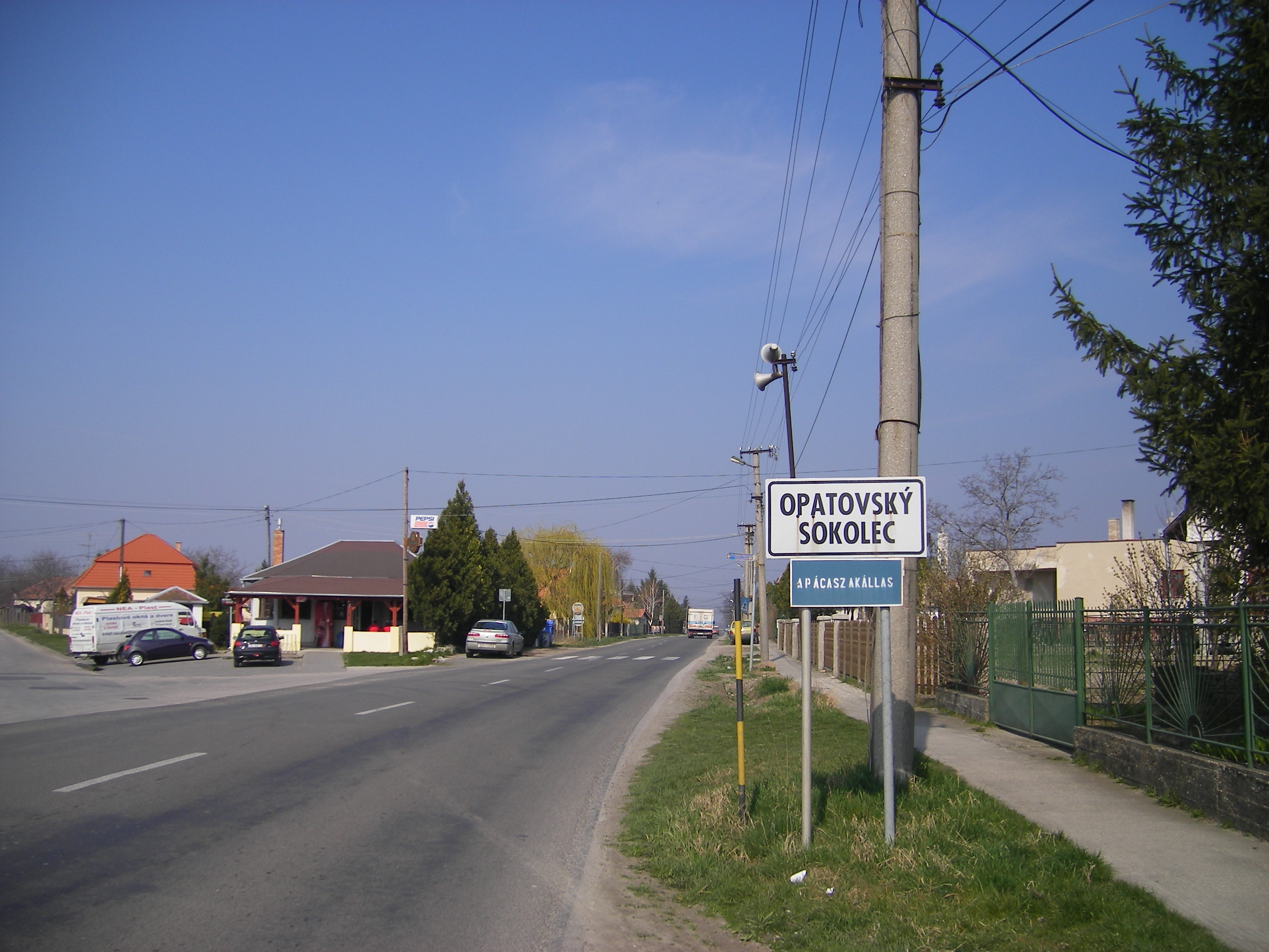
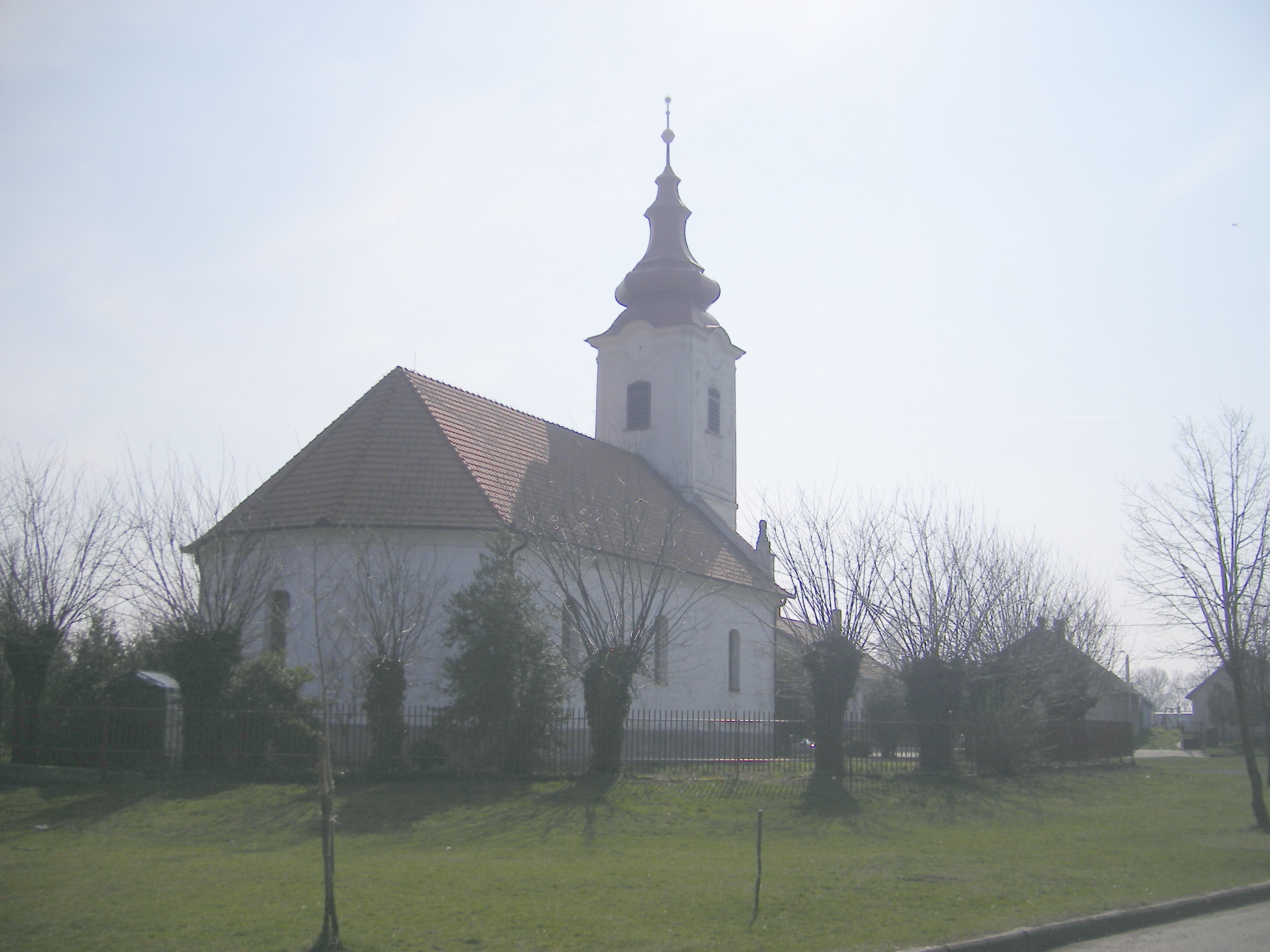
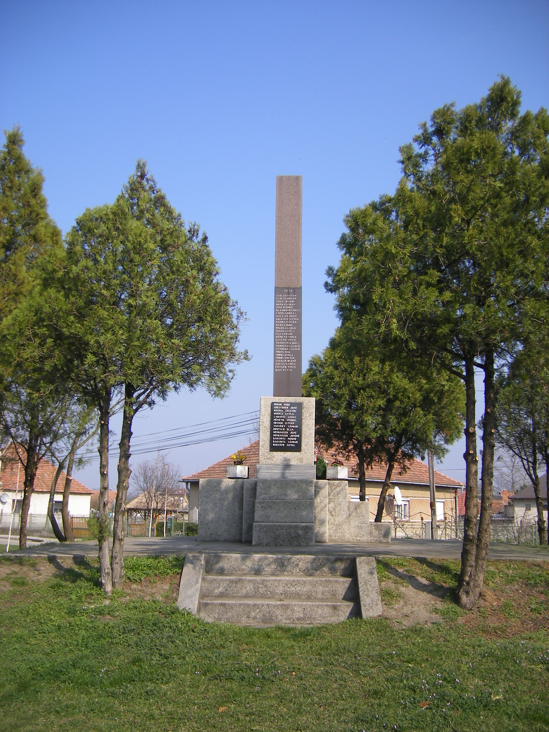
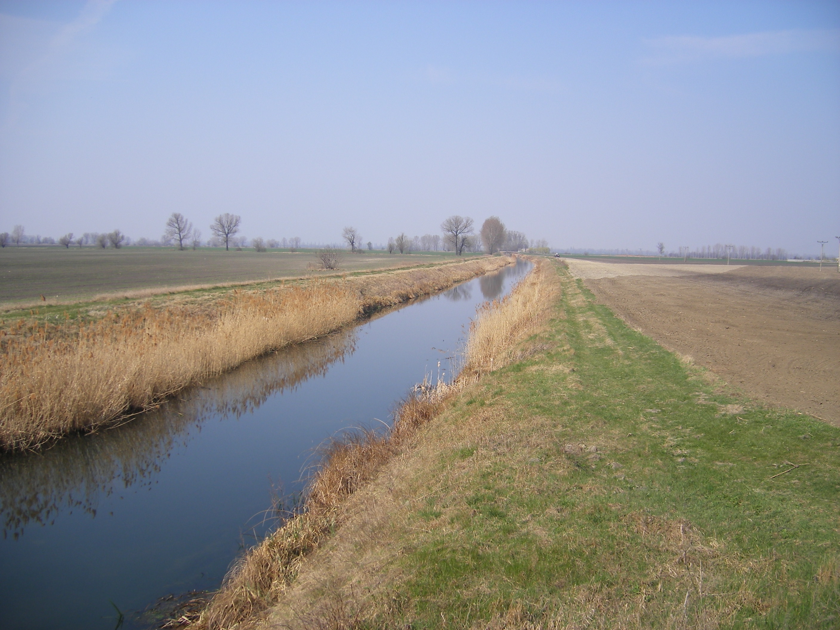
Opatovský Sokolec (Apácaszakállas)
-
Landscape
-
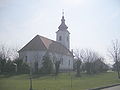
The Hungarian reformed church
-

WW memorial
-
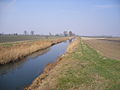
The Komárom-channel at Nový Goľáš (Gólyás)
References
External links
Dunajská Streda • Šamorín • Veľký Meder
Báč • Baka • Baloň • Bellova Ves • Blahová • Blatná na Ostrove • Bodíky • Boheľov • Čakany • Čenkovce • Čiližská Radvaň • Dobrohošť • Dolný Bar • Dolný Štál • Dunajský Klátov • Gabčíkovo • Holice • Horná Potôň • Horné Mýto • Horný Bar • Hubice • Hviezdoslavov • Jahodná • Janíky • Jurová • Kľúčovec • Kostolné Kračany • Kráľovičove Kračany • Kútniky • Kvetoslavov • Kyselica • Lehnice • Lúč na Ostrove • Macov • Mad • Malé Dvorníky • Medveďov • Michal na Ostrove • Mierovo • Nový Život • Ňárad • Ohrady • Okoč • Oľdza • Orechová Potôň • Padáň • Pataš • Povoda • Rohovce • Sap • Štvrtok na Ostrove • Topoľníky • Trhová Hradská • Trnávka • Trstená na Ostrove • Veľká Paka • Veľké Blahovo • Veľké Dvorníky • Vieska • Vojka nad Dunajom • Vrakúň • Vydrany • Zlaté Klasy Categories:
- Villages and municipalities in Dunajská Streda District
- Hungarian communities in Slovakia
- Trnava Region geography stubs
-


Wikimedia Foundation. 2010.