- New York State Route 53
-
This article is about the current alignment of NY 53. For the former alignment of NY 53 in Chemung and Tioga Counties, see New York State Route 53 (1920s–1930).
NYS Route 53
Route information Maintained by NYSDOT Length: 22.50 mi[2] (36.21 km) Existed: 1930[1] – present Major junctions South end:  NY 415 in Bath
 I-86 / NY 17 in Bath
North end:  NY 21 in Naples
Location Counties: Steuben, Ontario Highway system Numbered highways in New York
Interstate • U.S. • N.Y. (former) • Reference • County←  NY 52
NY 52NY 54  →
→New York State Route 53 (NY 53) is a north–south state highway located in the Finger Lakes region of New York in the United States. It extends for 22.50 miles (36.21 km) from an intersection with NY 415 near the hamlet of Kanona in northern Steuben County to a junction with NY 21 in the village of Naples in southern Ontario County. Just north of Kanona, located within the town of Bath, NY 53 connects to the Southern Tier Expressway (Interstate 86 or I-86 and NY 17). About midway between Kanona and Naples, the route serves the hamlet of Prattsburgh.
When NY 53 was assigned as part of the 1930 renumbering of state highways in New York, it extended from Kanona in the south to the Canandaigua area in the north, utilizing what is now NY 247 north of Potter. At the same time, the piece of what is now NY 53 from Prattsburgh to Naples became NY 247. NY 53 was realigned onto its modern alignment from Prattsburgh to Naples in the early 1940s. NY 247, supplanted by the realignment, was reassigned to NY 53's former routing north of Potter.
Contents
Route description
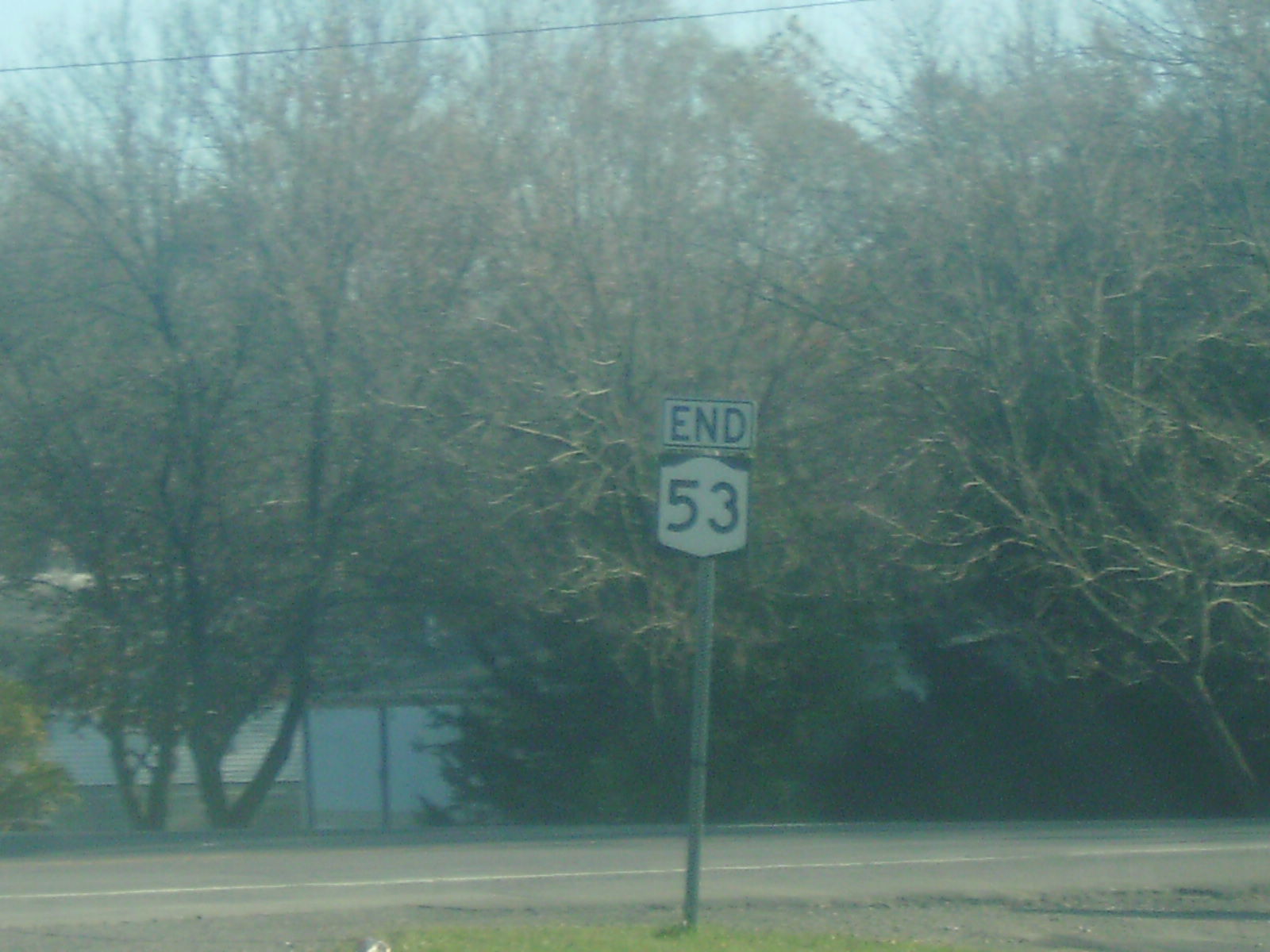
 Signage indicating the southern terminus of NY 53
NY 53 begins at an intersection with NY 415,[3] the former routing of U.S. Route 15 (US 15) through the Southern Tier,[4] southeast of Kanona, a hamlet within the Steuben County town of Bath. It initially heads northwest on Main Street, following the Cohocton River into the center of Kanona. At this point, NY 53 leaves Main Street to follow an unnamed road north through the residential northern half of the community to an interchange with the Southern Tier Expressway (I-86 and NY 17) at exit 37. Not far from here is the southern terminus of I-390, located about 1.5 miles (2.4 km) to the northwest at exit 36. North of I-86, NY 53 follows Fivemile Creek northeastward into a valley that leads to the rural town of Wheeler.[3]
Over the next 10 miles (16 km), the route traverses a series of small hamlets located in otherwise undeveloped and isolated areas of Steuben County. The gully leads NY 53 to the Wheeler–Prattsburgh town line, where the valley makes a sharp turn to follow the town line to the east. NY 53 continues due north into Prattsburgh, however, climbing the side of the valley to reach the hamlet of Prattsburgh. The route heads north–south through the western edge of the large community, following Main Street through its central business district. At Chapel Street, the commercial surroundings end and NY 53 turns to leave Prattsburgh to the northwest.[3]
Roughly 3 miles (5 km) outside of Prattsburgh, NY 53 turns to the west, loosely paralleling the Steuben–Ontario county line as it winds its way across the hilly, forested northernmost portion of Steuben County. The route breaks from this alignment after 4 miles (6 km), at which point it turns to the north and crosses into Ontario County. Across the county line, the route maintains a north–south alignment for 2 miles (3.2 km) across a mix of farmlands and forests. At the north end of this stretch, NY 53 enters a residential area at the southern edge of the village of Naples, where it ends at a junction with NY 21.[3]
History
NY 53 was assigned as part of the 1930 renumbering of state highways in New York to its current alignment from Kanona north to Prattsburgh. Past Prattsburgh, NY 53 continued north on Italy Hill Road, Italy Friend Road, and modern NY 247 before terminating at a junction with US 20 and NY 5 east of Canandaigua. What is now NY 53 from Prattsburgh to Naples was designated NY 247.[1] In the early 1940s, NY 53 was realigned north of Prattsburgh to follow NY 247 to Naples while NY 247 was reassigned to the portion of NY 53's former routing north of NY 364 in Potter.[5][6] The segment of NY 53's former routing between Prattsburgh and McMichael Road north of the hamlet remained state-maintained as a reference route until April 1, 1980, when ownership and maintenance of the road was transferred from the state to Steuben County as part of a highway maintenance swap between the two levels of government.[7]
Major intersections
County Location Mile[2] Destinations Notes Steuben Town of Bath 0.00 NY 415Hamlet of Kanona 0.63 I-86 / NY 17Exit 37 (I-86 / NY 17) Ontario Village of Naples 22.50 NY 211.000 mi = 1.609 km; 1.000 km = 0.621 mi References
- ^ a b Automobile Legal Association (ALA) Automobile Green Book, 1930–31 and 1931–32 editions, (Scarborough Motor Guide Co., Boston, 1930 and 1931). The 1930–31 edition shows New York state routes prior to the 1930 renumbering
- ^ a b "2008 Traffic Volume Report for New York State" (PDF). New York State Department of Transportation. June 16, 2009. p. 117. https://www.nysdot.gov/divisions/engineering/technical-services/hds-respository/NYSDOT%20TVR%202008%20by%20Route.pdf. Retrieved January 31, 2010.
- ^ a b c d Yahoo! Inc. Yahoo! Maps – overview map of NY 53 (Map). Cartography by NAVTEQ. http://maps.yahoo.com/#mvt=h&lat=42.485573&lon=-77.34787&zoom=12&q1=42.369966%2C-77.364118&q2=42.520571%2C-77.289102&q3=42.607387%2C-77.408578. Retrieved December 14, 2010.
- ^ Mobil (1965). New York (Map). Cartography by Rand McNally and Company.
- ^ Shell Oil Company (1940). Map of New York (Map). Cartography by H.M. Gousha Company.
- ^ Esso (1942). New York with Pictorial Guide (Map). Cartography by General Drafting.
- ^ New York State Legislature. "New York State Highway Law § 341". http://public.leginfo.state.ny.us/LAWSSEAF.cgi?QUERYTYPE=LAWS+&QUERYDATA=$$HAY341$$@TXHAY0341+&LIST=LAW+&TARGET=VIEW. Retrieved May 13, 2010.
External links
Categories:- State highways in New York
- Transportation in Ontario County, New York
- Transportation in Steuben County, New York

Wikimedia Foundation. 2010.