- Oklahoma State Highway 15
-
State Highway 15

Route information Maintained by ODOT Section 1 Length: 47.1 mi (75.8 km) West end:  SH 15 at the Texas state line
East end: 


 US-183/270/412/SH-3 in Woodward
Section 2 Length: 62.4 mi (100.4 km) West end: 
 US-64/412/SH-74 east of Enid (concurrent with SH-74)
East end:  SH-18 north of Pawnee
Highway system Oklahoma State Highways
Oklahoma turnpike system←  SH-14
SH-14SH-16  →
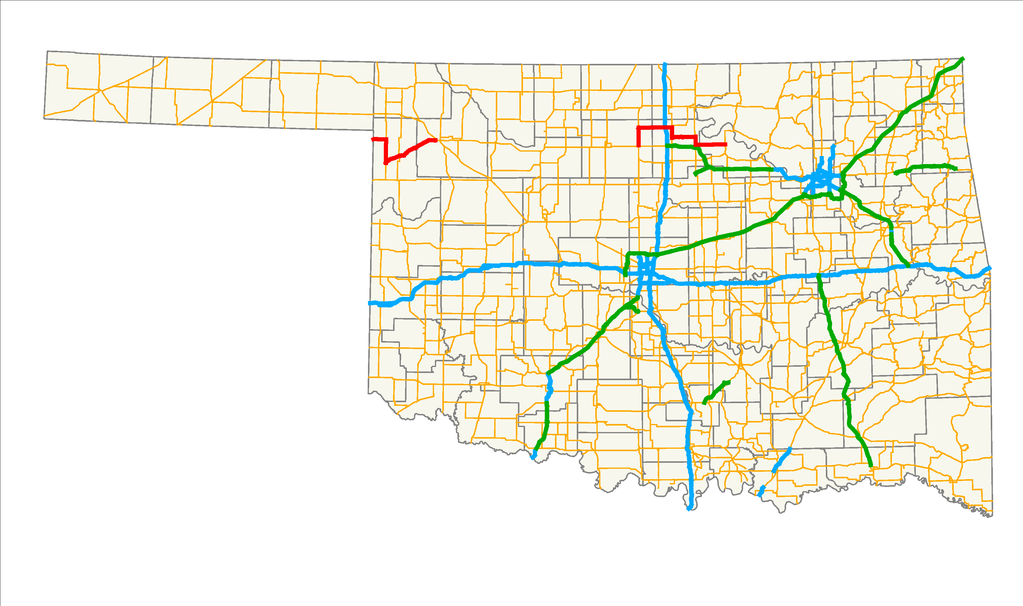
→State Highway 15 (abbreviated SH-15 or OK-15) is the name for two once-connected state highways in Oklahoma. One begins at the Texas state line and runs for 47.1 miles[1] (75.8 km) through Woodward; the other runs for 62.4 miles[2] (100.4 km) between U.S. Highway 64/U.S. Highway 412 and State Highway 18 north of Pawnee. SH-15 has no lettered spur routes.
Contents
Route descriptions
Western section
The western SH-15 begins at the Texas state line, connecting to Texas' State Highway 15 between Catesby and Shattuck. It runs east for seven miles (11.2 km)[3] to US-283, which it overlaps into Shattuck. In Shattuck, SH-15 splits off to the northeast, heading through Gage and Fargo, before ending in Woodward.
Eastern section
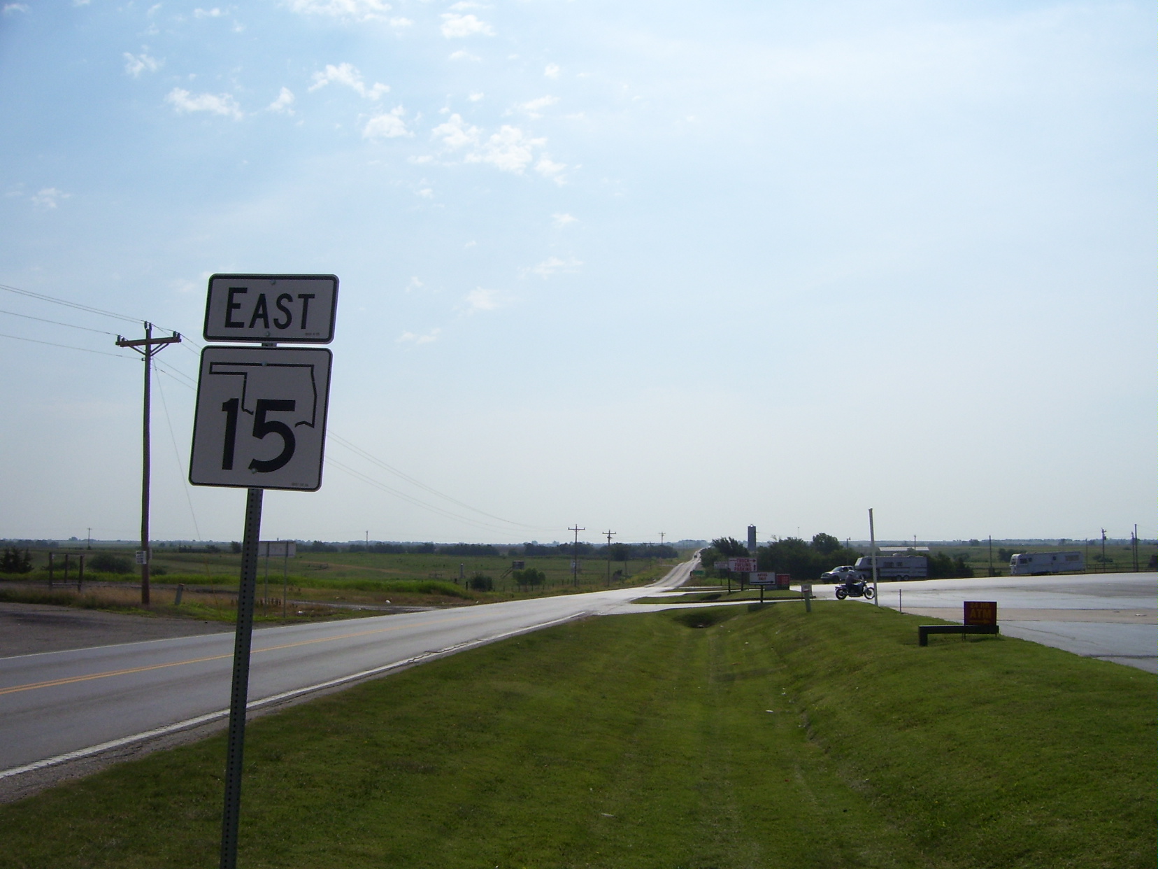
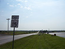 SH-15 just east of I-35
The eastern SH-15 picks up a US-64/412 south of Garber, and begins concurrent with State Highway 74 heading northbound. It splits from SH-74 to head through Billings and has an interchange with Interstate 35 at milemarker 203. It then has a five-mile (8.0 km)[3] concurrency with U.S. Highway 77. After leaving US-77, it passes through Red Rock, and has a 4 miles (6.4 km)[3] concurrency with US-177, and splits off just north of the intersection with the Cimarron Turnpike. It bridges Sooner Lake and runs for 15 more miles (24 more km) before ending at State Highway 18 north of Pawnee.
History
The two sections of SH-15 were once connected into one highway. However, when U.S. Highway 412 was commissioned, the middle section of highway (from Woodward to Garber) was redesignated as US-412, and SH-15 decommissioned through that section.
Junction list
Western section
County Location Mile[1] Destinations Notes Ellis 0.0 SH 15Western terminus, Texas state line 6.5  US-283
Northern end of US-283 concurrency Shattuck 18.3 US-283Southern end of US-283 concurrency Gage 26.2  SH-48
SH-48Woodward Woodward 47.1 US-183 / US-270 / US-412 / SH-3Eastern terminus 1.000 mi = 1.609 km; 1.000 km = 0.621 mi
Concurrency terminus • Closed/Former • Incomplete access • UnopenedEastern section
County Location Mile[2] Destinations Notes Garfield 0.0 US-64 / US-412Western terminus (concurrent with SH-74) 9.5 SH-74Northern end of SH-74 concurrency Noble 22.9  I-35
I-35I-35 exit 203 26.4  US-77
US-77Northern end of US-77 concurrency Ceres 31.3 US-77Southern end of US-77 concurrency 43.4  US-177
Northern end of US-177 concurrency 47.5 US-177Southern end of US-177 concurrency Pawnee 62.4 SH-18Eastern terminus 1.000 mi = 1.609 km; 1.000 km = 0.621 mi
Concurrency terminus • Closed/Former • Incomplete access • UnopenedReferences
- ^ a b Stuve, Eric. "OK-15 (west)". OKHighways. http://www.okhighways.com/ok15w.html. Retrieved 2007-10-24.
- ^ a b Stuve, Eric. "OK-15 (east)". OKHighways. http://www.okhighways.com/ok15e.html. Retrieved 2007-10-24.
- ^ a b c Oklahoma Department of Transportation (2007). Official State Map (Map) (Centennial ed.). http://www.odot.org/hqdiv/p-r-div/maps/state-maps/pdfs/2007.pdf.
External links
Categories:- State highways in Oklahoma

Wikimedia Foundation. 2010.