- Chain Of Ponds, South Australia
-
Chain of Ponds
South Australia
 Chain of Ponds
Postcode: 5231 Location: 29 km (18 mi) from Adelaide LGA: Adelaide Hills Council State District: Kavel Federal Division: Mayo Suburbs around Chain of Ponds: Kersbrook Inglewood Chain of Ponds Gumeracha Paracombe Cudlee Creek Chain of Ponds is a small town near Adelaide, South Australia. It is located in the Adelaide Hills Council local government area.
Contents
History
The settlement was established by the South Australia Company. First settled early in the 1840s, the township was laid out after the opening of the North East Road in the 1850s. By this time, the town was reported to include two post office buildings, institute, church, service station, a handful of cottages and the old Morning Star Hotel. [1]
There was also a nearby township called Millbrook, but it was demolished to make way for the Millbrook Reservoir, which was constructed between 1914 and 1918 to control the flow of the upper Torrens River and supply the eastern suburbs of Adelaide from an appropriate elevation. In the 1970s, Chain of Ponds was also demolished to safeguard against water pollution in the reservoir.[2]
Little more than a cemetery exists as a reminder of Chain of Ponds, though it appears on maps as a navigation point.
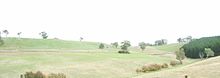
Geography
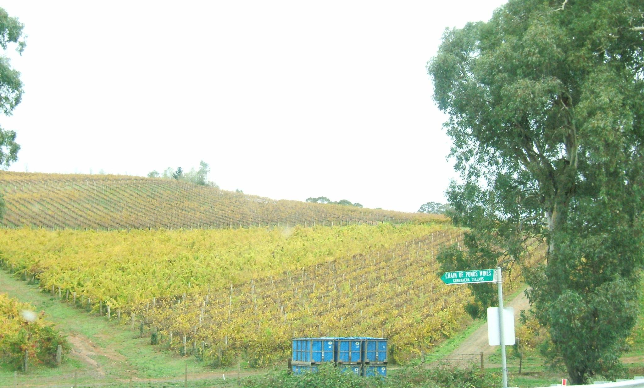
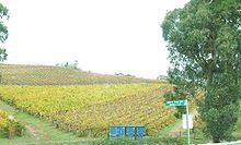 Winery at Chain of Ponds.
Chain of Ponds is located between Inglewood and Gumeracha along the Adelaide-Mannum Road, and south of Kersbrook along the Little Para Road.
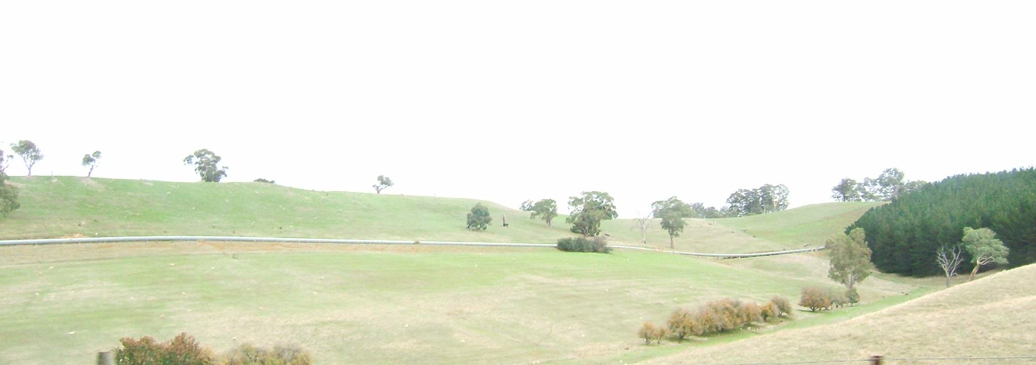
 Water pipeline in Cudlee Creek.
Facilities
The few remaining residents are served by facilities in Inglewood. The Millbrook reservoir has a capacity of 16,500 megalitres.
Transport
The area is not serviced by Adelaide public transport. A coach is operated from Tea Tree Plaza Interchange to Gumeracha and Mount Pleasant by Affordable Coachlines. [3]
References
- ^ Adelaide Hills Council - Historical Town Information
- ^ SA Water - Millbrook Reservoir
- ^ Timetable Accessed 15 June 2006
External links
- Chain Of Ponds, South Australia is at coordinates 34°49′23″S 138°49′59″E / 34.823°S 138.833°ECoordinates: 34°49′23″S 138°49′59″E / 34.823°S 138.833°E
Towns and Localities of the Adelaide Hills Council Aldgate · Ashton · Balhannah · Basket Range · Birdwood · Bradbury · Bridgewater · Carey Gully · Castambul · Chain of Ponds · Charleston · Cherryville · Cleland · Crafers · Crafers West · Cromer · Cudlee Creek · Dorset Vale · Forest Range · Forreston · Greenhill · Gumeracha · Heathfield · Horsnell Gully · Houghton · Humbug Scrub · Inglewood · Ironbank · Kersbrook · Lenswood · Lobethal · Longwood · Lower Hermitage · Marble Hill · Millbrook · Montacute · Mount George · Mount Torrens · Mylor · Norton Summit · Oakbank · Paracombe · Piccadilly · Scott Creek · Stirling · Summertown · Teringie · Upper Hermitage · Upper Sturt · Uraidla · Verdun · Woodforde · WoodsideAdelaide Hills, South Australia Major Townships Birdwood · Clarendon · Echunga · Gumeracha · Hahndorf · Littlehampton · Lobethal · Macclesfield · Meadows · Mount Barker · Mylor · Nairne · Oakbank · Stirling · WoodsideAttractions See also Categories:- Adelaide Hills, South Australia
- Towns in South Australia

Wikimedia Foundation. 2010.