- New York State Route 204
-
This article is about the current alignment of NY 204. For the former alignment of NY 204 in Columbia County, see New York State Route 204 (1930–1940s).
NYS Route 204

Map of Rochester with NY 204 highlighted in redRoute information Maintained by NYSDOT Length: 3.57 mi[3] (5.75 km) Existed: ca. 1965[1][2] – present Major junctions West end:  I-490 in Gates
 I-390 in Gates
East end: Rochester city line at Gates Location Counties: Monroe Highway system Numbered highways in New York
Interstate • U.S. • N.Y. (former) • Reference • County←  NY 203
NY 205  →
→New York State Route 204 (NY 204) is an east–west state highway located just southeast of Rochester in Monroe County, New York, in the United States. The western terminus of the route is at exit 6 on Interstate 490 (I-490) in Gates. Its eastern terminus is at the Rochester city line just east of I-390 exit 18. The western portion of NY 204 is a limited-access highway known as the Airport Expressway that indirectly connects I-490 to the Greater Rochester International Airport. The remaining part of the connection is made via the at-grade portion of NY 204 on Chili and Brooks Avenues. NY 204 was assigned ca. 1965.
Contents
Route description
NY 204 begins at I-490 exit 6 in Gates. The route heads southeast along the Airport Expressway, a four-lane limited-access highway through the town of Gates. No exits exist along the expressway; in fact, it only comes in contact with one highway (Pixley Road, which it passes over). After 1 mile (1.6 km), the highway ends at NY 33A (Chili Avenue). NY 204 turns east here, joining NY 33A northeast for 0.9 miles (1.4 km) to the heavily commercial hamlet of Tressmar. The routes split near Westgate Plaza, where NY 204 veers eastward onto Brooks Avenue.[4]
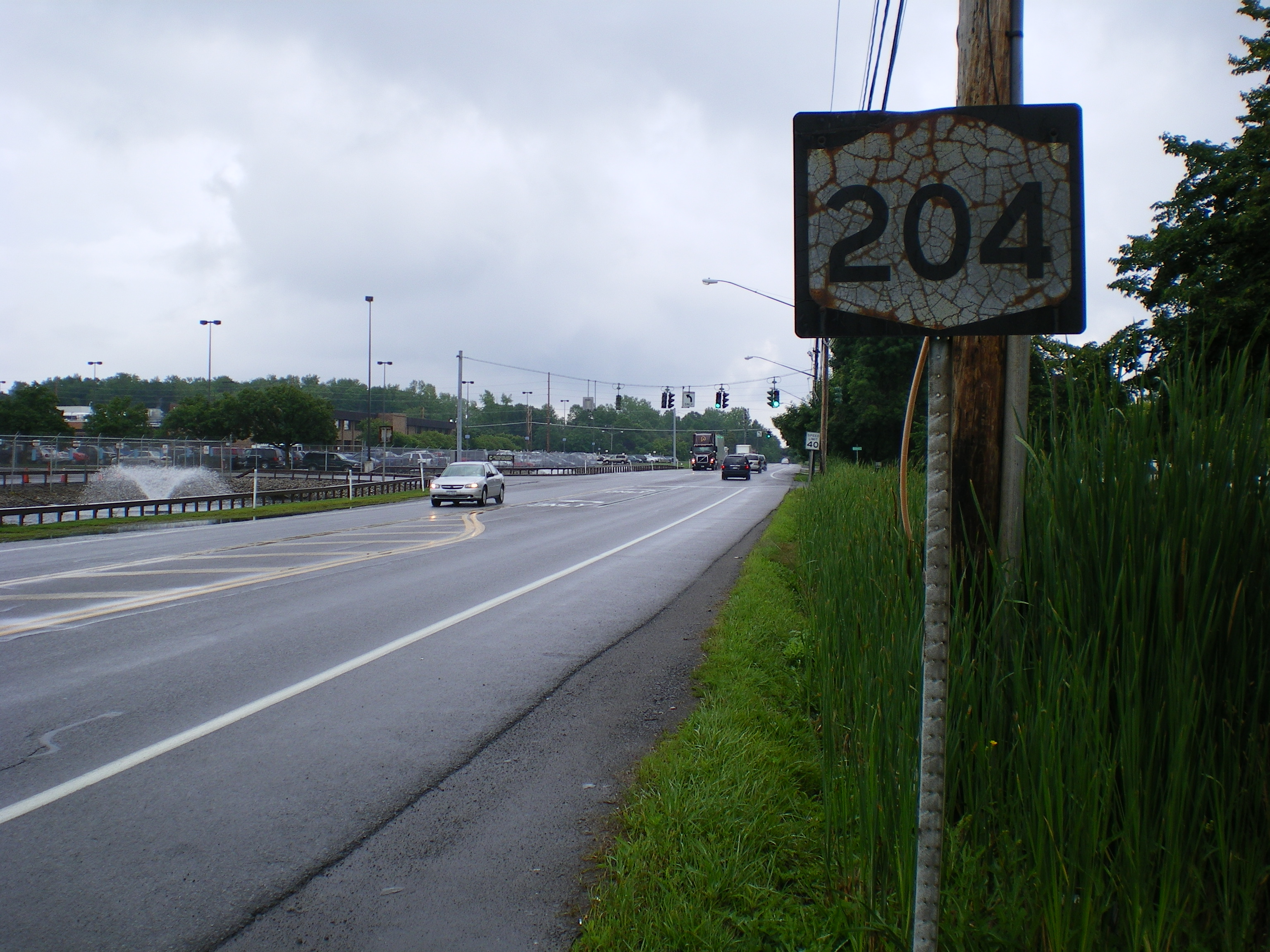
 Old shield on NY 204 eastbound near the Wegmans offices
The route heads through a small residential neighborhood on the outskirts of Tressmar, which then gives way to more commercial and industrial surroundings. Along this stretch, NY 204 passes the headquarters of Wegmans Food Markets. Past the Wegmans offices, the road dips sharply in elevation to pass under the Rochester and Southern Railroad. NY 204 gradually returns to its prior elevation east of the railroad and connects to Airport Way, the primary access road to the Greater Rochester International Airport, by way of an interchange. The highway runs along the northern edge of the airport grounds toward the Erie Canal, where it meets I-390 at exit 18 on the southern bank of the waterway. NY 204 continues on, passing through the interchange and over the canal. The route comes to end at the canal's northern edge, which denotes the Rochester city line. Brooks Avenue, meanwhile, continues into the city as a two-lane residential street.[3][4]
History
The portion of Brooks Avenue from Howard Road in Gates to Genesee Park Boulevard in Rochester was originally designated as part of NY 47 between 1935 and 1938.[5][6] When NY 47 was rerouted to follow Beahan Road and Scottsville Road between Howard Road and Elmwood Avenue ca. 1962, the former alignment of NY 47 on Brooks Avenue and Genesee Park Boulevard was redesignated NY 33B.[7][8] The NY 33B designation was removed and reapplied to a new highway in the Buffalo area ca. 1965.[1][9] The portion of NY 33B west of the Rochester city line was redesignated as NY 204.[1][2]
To the west of Brooks Avenue, construction began in the mid-1960s on the Airport Expressway, a limited-access highway between I-490 and NY 33A (Chili Avenue) near the Gates–Chili town line.[10] The highway was opened to traffic and designated as an extension of NY 204 by 1968. In between the end of the expressway and Brooks Avenue, NY 204 overlapped with NY 33A. As planned, the Airport Expressway would be extended eastward along the Brooks Avenue corridor to meet the Rochester Outer Loop (NY 47) just north of the then-Rochester – Monroe County Airport.[11] On January 1, 1970, the NY 204 designation was officially extended eastward along the proposed highway;[12] however, in the field, NY 204 remained routed on Chili and Brooks Avenues.[13]
The proposed extension of the Airport Expressway remained on maps as late as 1979;[14] however, by 1981, the routing was demapped[15] as the planned extension was cancelled in the face of opposition from area residents.[16] The intersection between the Airport Expressway and NY 33A was a stub half-interchange[17] until 2001, when it was redone as a traditional T-shaped intersection.[16]
Major intersections
The entire route is in Gates, Monroe County.
Mile[3] Destinations Notes 0.00 I-490Exit 6 (I-490) 1.04  NY 33A west
Western terminus of NY 33A / NY 204 overlap 1.89 NY 33A eastEastern terminus of NY 33A / NY 204 overlap 3.25 I-390Exit 18 (I-390) 3.57 Rochester city line 1.000 mi = 1.609 km; 1.000 km = 0.621 mi References
- ^ a b c Sinclair (1964). New York and Metropolitan New York (Map). Cartography by Rand McNally and Company.
- ^ a b Mobil (1965). New York (Map). Cartography by Rand McNally and Company.
- ^ a b c "2008 Traffic Volume Report for New York State" (PDF). New York State Department of Transportation. June 16, 2009. p. 185. https://www.nysdot.gov/divisions/engineering/technical-services/hds-respository/NYSDOT%20TVR%202008%20by%20Route.pdf. Retrieved February 1, 2010.
- ^ a b Google, Inc. Google Maps – overview map of NY 204 (Map). Cartography by Google, Inc. http://maps.google.com/maps?f=d&source=s_d&saddr=I-490+W&daddr=43.130831,-77.657568&geocode=FbAlkgIdtQ9e-w%3B&hl=en&mra=mi&mrsp=1,0&sz=17&sll=43.130736,-77.657708&sspn=0.00552,0.013926&ie=UTF8&ll=43.130712,-77.675979&spn=0.00552,0.013926&t=h&z=17. Retrieved June 1, 2009.
- ^ Sun Oil Company (1935). Road Map & Historical Guide – New York (Map). Cartography by Rand McNally and Company.
- ^ Thibodeau, William A. (1938). The ALA Green Book (1938–39 ed.). Automobile Legal Association.
- ^ Sunoco (1961). New York and Metropolitan New York (Map). Cartography by H.M. Gousha Company (1961–62 ed.).
- ^ Sinclair (1962). New York and Metropolitan New York (Map). Cartography by Rand McNally and Company.
- ^ United States Geological Survey (1965). Buffalo NE Quadrangle – New York – Erie Co. (Map). 1:24,000. 7.5 Minute Series (Topographic). http://www.nysgis.state.ny.us/gisdata/quads/drg24/usgspreview/index.cfm?code=o42078h7. Retrieved June 1, 2009.
- ^ National Bridge Inventory, a database compiled by the United States Department of Transportation Federal Highway Administration, available at www.nationalbridges.com. Accessed June 1, 2009.
- ^ Esso (1968). New York (Map). Cartography by General Drafting (1969–70 ed.).
- ^ State of New York Department of Transportation (January 1, 1970) (PDF). Official Description of Touring Routes in New York State. http://www.greaternyroads.info/pdfs/state70.pdf. Retrieved June 1, 2009.
- ^ Shell Oil Company (1973). New York (Map). Cartography by H.M. Gousha Company (1973 ed.).
- ^ Exxon (1979). New York (Map). Cartography by General Drafting.
- ^ State of New York (1981). I Love New York Tourism Map (Map). Cartography by Rand McNally and Company.
- ^ a b Sinsabaugh, Mark. "New York State Route 204". New York Routes. http://www.gribblenation.net/nyroutes/ind/200_209.htm#204. Retrieved June 1, 2009.
- ^ New York State Department of Transportation (1997). Rochester West Digital Raster Quadrangle (Map). 1:24,000. http://www.nysgis.state.ny.us/gisdata/quads/drg24/dotpreview/index.cfm?code=o17. Retrieved June 1, 2009.
External links
Categories:- State highways in New York
- Limited-access roads in New York
- Transportation in Monroe County, New York


Wikimedia Foundation. 2010.