- New York State Route 5A
-
This article is about the current alignment of NY 5A. For previous alignments of NY 5A, see New York State Route 5A (disambiguation).
NYS Route 5A
Route information Auxiliary route of NY 5 Maintained by NYSDOT Length: 5.65 mi[3] (9.09 km) Existed: mid-1930s[1][2] – present Major junctions West end:  NY 5 in New Hartford
East end: 

 NY 5 / NY 5S / NY 8 / NY 12 in Utica
Location Counties: Oneida Highway system Numbered highways in New York
Interstate • U.S. • N.Y. (former) • Reference • County← NY 5NY 5B  →
→New York State Route 5A (NY 5A) is an east–west state highway contained within Oneida County, New York, in the United States. It is a 5.65-mile (9.1 km) alternate route of NY 5 between New Hartford and downtown Utica. At its eastern end, NY 5A becomes NY 5S. The route is four lanes wide and passes through mostly commercial areas. It was assigned to its current alignment in the mid-1930s.
Contents
Route description
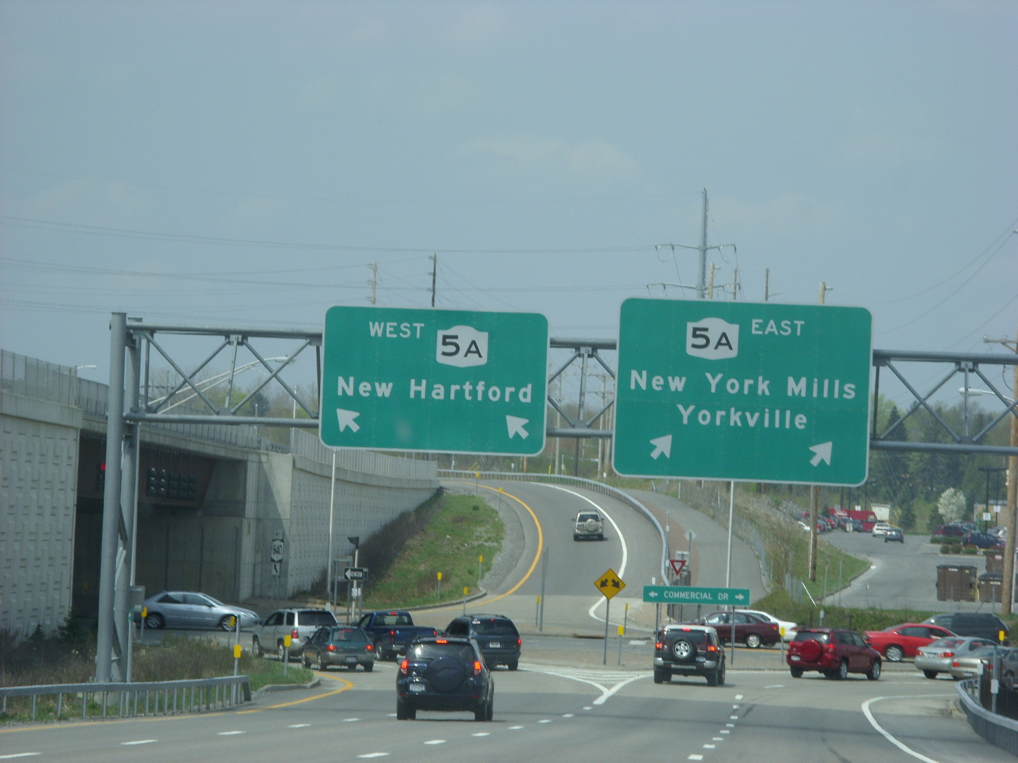
 Overhead signage at the interchange between NY 5A and NY 840
NY 5A begins at an intersection with NY 5 in New Hartford only 120 yards (110 m) from the eastern terminus of NY 5B. The route heads northeast as the predominantly four-lane wide Commercial Drive, passing the Sangertown Square shopping mall and paralleling Mud Creek as it progresses through New Hartford. Near the southwestern extent of New York Mills, NY 5A meets NY 840 by way of a single-point urban interchange.[4]
Past NY 840, NY 5A straddles the western village line of New York Mills as it crosses over and parallels Sauquoit Creek to a trumpet interchange with NY 69 (Oriskany Boulevard) in the adjacent village of Yorkville. NY 69 ends here; however, NY 5S joins the four-lane Oriskany Boulevard eastward through Yorkville into Utica. Within the Utica city limits, NY 5A closely parallels the CSX Transportation-owned Mohawk Subdivision as it heads along the northern fringe of the city. After crossing the New York, Susquehanna and Western Railroad, NY 5A meets the North–South Arterial (Interstate 790, NY 5, NY 8, and NY 12) by way of an interchange. NY 5A becomes NY 5S at the midpoint of the interchange.[4]
History
In 1908, the New York State Legislature created Route 28, an unsigned legislative route extending from Maple View to Utica via Rome and Whitesboro. Route 28 followed the north bank of the Mohawk River from Rome to Marcy, where it turned south toward Whitesboro on modern NY 291. Once on the south bank, the route proceeded to Utica on Main and Whitesboro Streets.[5][6] When the first set of posted routes in New York were assigned in 1924, all of legislative Route 28 was designated as part of NY 11. Within Utica, NY 11 followed Whitesboro and Court Streets east to Genesee Street, where it ended at NY 5 and NY 12.[7][8] NY 11 was renumbered to NY 76 in 1927 to eliminate numerical duplication with the new U.S. Route 11.[9]
The NY 76 designation was reassigned elsewhere in the state as part of the 1930 renumbering of state highways in New York. From Whitesboro to downtown Utica, NY 76's former alignment was co-designated as part of NY 5S and NY 12C.[10][11] In the mid-1930s, a north–south connector between NY 5 in New Hartford and NY 5S and NY 12C in Yorkville was designated as NY 5A.[1][2] NY 5S and NY 12C were realigned in the late 1930s to follow a new highway named Oriskany Boulevard through Whitesboro and Yorkville.[2][12] In the early 1940s, NY 5S was truncated to begin in Utica while its former alignment between Rome and Utica became part of NY 69.[12][13]
By 1947, NY 12C and NY 69 were realigned to follow Oriskany Street through western Utica while NY 5A was extended eastward along Oriskany Street to a new terminus in downtown Utica, creating overlaps with both NY 12C and NY 69.[14] The overlaps remained in place until January 1, 1970, when NY 12C was eliminated and NY 69 was truncated to end in Yorkville.[15] The intersection between Commercial Drive and Oriskany Boulevard was converted into a trumpet interchange around the same time.[16]
Major intersections
The entire route is in Oneida County.
Location Mile[3] Destinations Notes Town of New Hartford 0.00 NY 5 (Seneca Turnpike) NY 840 (Judd Road)
Single-point urban interchange Yorkville 3.18  NY 69 (Oriskany Blvd)
Trumpet interchange; eastern terminus of NY 69 Utica 5.69  I-790 / NY 5 / NY 8 / NY 12
NY 5SSouthern terminus of I-790; western terminus of NY 5S 1.000 mi = 1.609 km; 1.000 km = 0.621 mi References
- ^ a b Shell Oil Company (1936). Road Map – New York (Map). Cartography by H.M. Gousha Company.
- ^ a b c Esso (1938). New York Road Map for 1938 (Map). Cartography by General Drafting.
- ^ a b "2008 Traffic Volume Report for New York State" (PDF). New York State Department of Transportation. June 16, 2009. p. 13. https://www.nysdot.gov/divisions/engineering/technical-services/hds-respository/NYSDOT%20TVR%202008%20by%20Route.pdf. Retrieved January 31, 2010.
- ^ a b Google, Inc. Google Maps – New York State Route 5A (Map). Cartography by Google, Inc. http://maps.google.com/maps?client=firefox-a&hl=en&ie=UTF8&ll=43.095217,-75.282612&spn=0.04475,0.11467&t=h&z=14. Retrieved March 26, 2008.
- ^ State of New York Department of Highways (1909). The Highway Law. Albany, New York: J. B. Lyon Company. p. 63. http://books.google.com/books?id=jZ0AAAAAMAAJ&pg=PA63. Retrieved June 10, 2010.
- ^ New York State Department of Highways (1920). Report of the State Commissioner of Highways. Albany, New York: J. B. Lyon Company. p. 541. http://books.google.com/books?id=Sj4CAAAAYAAJ&pg=PA541. Retrieved June 10, 2010.
- ^ "New York's Main Highways Designated by Numbers". The New York Times: p. XX9. December 21, 1924.
- ^ State of New York Department of Public Works (1926). Official Map Showing State Highways and other important roads (Map). Cartography by Rand McNally and Company.
- ^ Automobile Blue Book. 1 (1927 ed.). Chicago: Automobile Blue Book, Inc. 1927. This edition shows U.S. Routes as they were first officially signed in 1927.
- ^ Dickinson, Leon A. (January 12, 1930). "New Signs for State Highways". The New York Times: p. 136.
- ^ Standard Oil Company of New York (1930). Road Map of New York (Map). Cartography by General Drafting.
- ^ a b Esso (1940). New York (Map). Cartography by General Drafting.
- ^ Esso (1942). New York with Pictorial Guide (Map). Cartography by General Drafting.
- ^ State of New York Department of Public Works. Official Highway Map of New York State (Map). Cartography by General Drafting (1947–48 ed.).
- ^ State of New York Department of Transportation (January 1, 1970) (PDF). Official Description of Touring Routes in New York State. http://www.greaternyroads.info/pdfs/state70.pdf. Retrieved January 3, 2010.
- ^ Federal Highway Administration (2008). "Structure 1051429". National Bridge Inventory. United States Department of Transportation. http://nationalbridges.com/nbi_record.php?StateCode=36&struct=000000001051429. Retrieved March 26, 2008.
External links
Categories:- State highways in New York
- Transportation in Oneida County, New York

Wikimedia Foundation. 2010.