- Jecheon
-
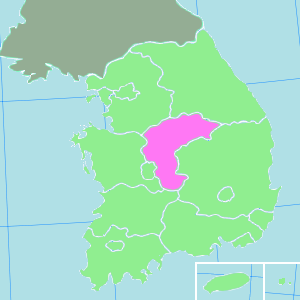
Jecheon
제천
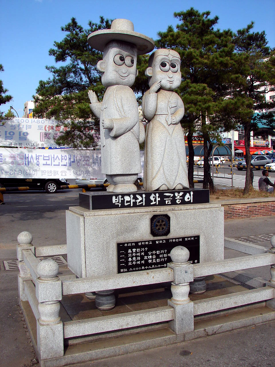
堤川— Municipal City — Korean transcription(s) – Hangul 제천시 – Hanja 堤川市 – Revised Romanization Jecheon-si – McCune-Reischauer Chech'ŏn-si Statue in front of Jecheon train station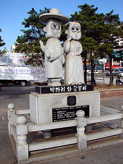

Emblem of Jecheon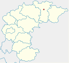
Country  South Korea
Region Hoseo Administrative divisions 1 eup, 7 myeon, 9 dong Area – Total 882.47 km2 (340.7 sq mi) Population (2011.01.04) – Total 137,147 – Density 157.3/km2 (407.4/sq mi) – Dialect Chungcheong Jecheon is a city in Chungcheongbuk-do (province), South Korea. The city is a major railway junction (transportation mecca) , served by the Jungang, Chungbuk and Taebaek Lines. Jecheon has scenic surroundings and several tourist spots like the Uirimji Reservoir, Cheongpung Lake and Cheongpung Cultural Properties Complex. It is also the home of Semyung University.
word Je(堤) means Dam and cheon(川) means River.
Contents
Location
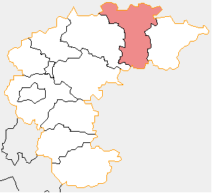
Jecheon City is located in the northern part of Chungcheongbuk-do (province) bordering Mungyeong City to the south, Wonju City and Yeongwol-gun to the north. It is well-known for its beautiful mountains and lake environments.[1]
Climate
Climate data for Jecheon (1981−2010) Month Jan Feb Mar Apr May Jun Jul Aug Sep Oct Nov Dec Year Average high °C (°F) 1.3
(34.3)4.4
(39.9)10.3
(50.5)18.2
(64.8)23.1
(73.6)26.8
(80.2)28.4
(83.1)29.2
(84.6)25.0
(77.0)19.4
(66.9)11.1
(52.0)4.0
(39.2)16.8 Daily mean °C (°F) −5.2
(22.6)−2.3
(27.9)3.5
(38.3)10.5
(50.9)16.0
(60.8)20.6
(69.1)23.4
(74.1)23.8
(74.8)18.4
(65.1)11.4
(52.5)4.1
(39.4)−2.4
(27.7)10.2 Average low °C (°F) −11.2
(11.8)−8.4
(16.9)−2.8
(27.0)2.9
(37.2)9.2
(48.6)15.0
(59.0)19.5
(67.1)19.6
(67.3)13.3
(55.9)5.0
(41.0)−1.7
(28.9)−8
(18)4.4 Precipitation mm (inches) 24.7
(0.972)29.4
(1.157)56.0
(2.205)76.1
(2.996)102.1
(4.02)154.2
(6.071)373.5
(14.705)293.7
(11.563)161.1
(6.343)51.5
(2.028)42.4
(1.669)23.0
(0.906)1,387.8
(54.638)% humidity 69.4 66.4 63.8 58.1 64.0 69.6 78.5 77.1 75.3 72.8 70.9 71.1 69.8 Avg. precipitation days (≥ 0.1 mm) 7.2 6.9 8.9 7.8 8.4 9.3 15.6 13.9 8.8 5.4 7.4 7.4 107 Sunshine hours 165.1 163.4 193.0 216.1 231.3 211.7 160.6 181.8 176.9 194.5 153.8 154.4 2,204.6 Source: Korea Meteorological Administration [2] Sister cities
See also
References
- ^ Official page
- ^ "평년값자료(1981−2010) 제천(221)". Korea Meteorological Administration. http://www.kma.go.kr/weather/climate/average_30years.jsp?yy_st=2011&stn=221&norm=M&x=32&y=4&obs=0&mm=5&dd=1. Retrieved 2011−05−01.
External links
North Chungcheong 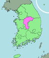
Capital Cities Counties Metropolitan cities of South Korea Special city Metropolitan cities Provincial capitals with gus
(not included above)Provincial capitals without gus
(not included above)Cities with gu
(not included above)Cities
(not included above)Andong · Anseong · Asan · Boryeong · Chungju · Dongducheon · Donghae · Gangneung · Geoje · Gimcheon · Gimhae · Gimje · Gimpo · Gongju · Gumi · Gunpo · Guri · Gunsan · Gwacheon · Gwangju · Gwangmyeong · Gwangyang · Gyeongju · Gyeongsan · Gyeryong · Hanam · Hwaseong · Icheon · Iksan · Jecheon · Jeongeup · Jinju · Miryang · Mungyeong · Namwon · Namyangju · Naju · Nonsan · Osan · Paju · Pocheon · Pyeongtaek · Sacheon · Samcheok · Sangju · Seogwipo · Seosan · Siheung · Sokcho · Suncheon · Taebaek · Tongyeong · Uijeongbu · Uiwang · Wonju · Yangju · Yangsan · Yeongcheon · Yeongju · YeosuCoordinates: 37°08′N 128°13′E / 37.133°N 128.217°E
Categories:- Cities in Chungcheongbuk-do
- Jecheon
- Alliance for Healthy Cities
- South Korea geography stubs

Wikimedia Foundation. 2010.