- Danyang County
-
Danyang
단양— County — Korean transcription(s) - Hangul 단양군 - Hanja 丹陽郡 - Revised Romanization Danyang-gun - McCune-Reischauer Tanyang-gun Dodam Sambong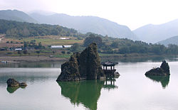

Emblem of Danyang
Country  South Korea
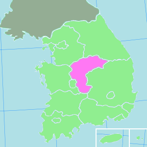
Region Hoseo Administrative divisions 2 eup, 6 myeon Area - Total 781.07 km2 (301.6 sq mi) Population (2002) - Total 37,320 - Density 51/km2 (132.1/sq mi) - Dialect Chungcheong Danyang County (Danyang-gun) is a county in North Chungcheong Province, South Korea.
Contents
Symbols
Geography
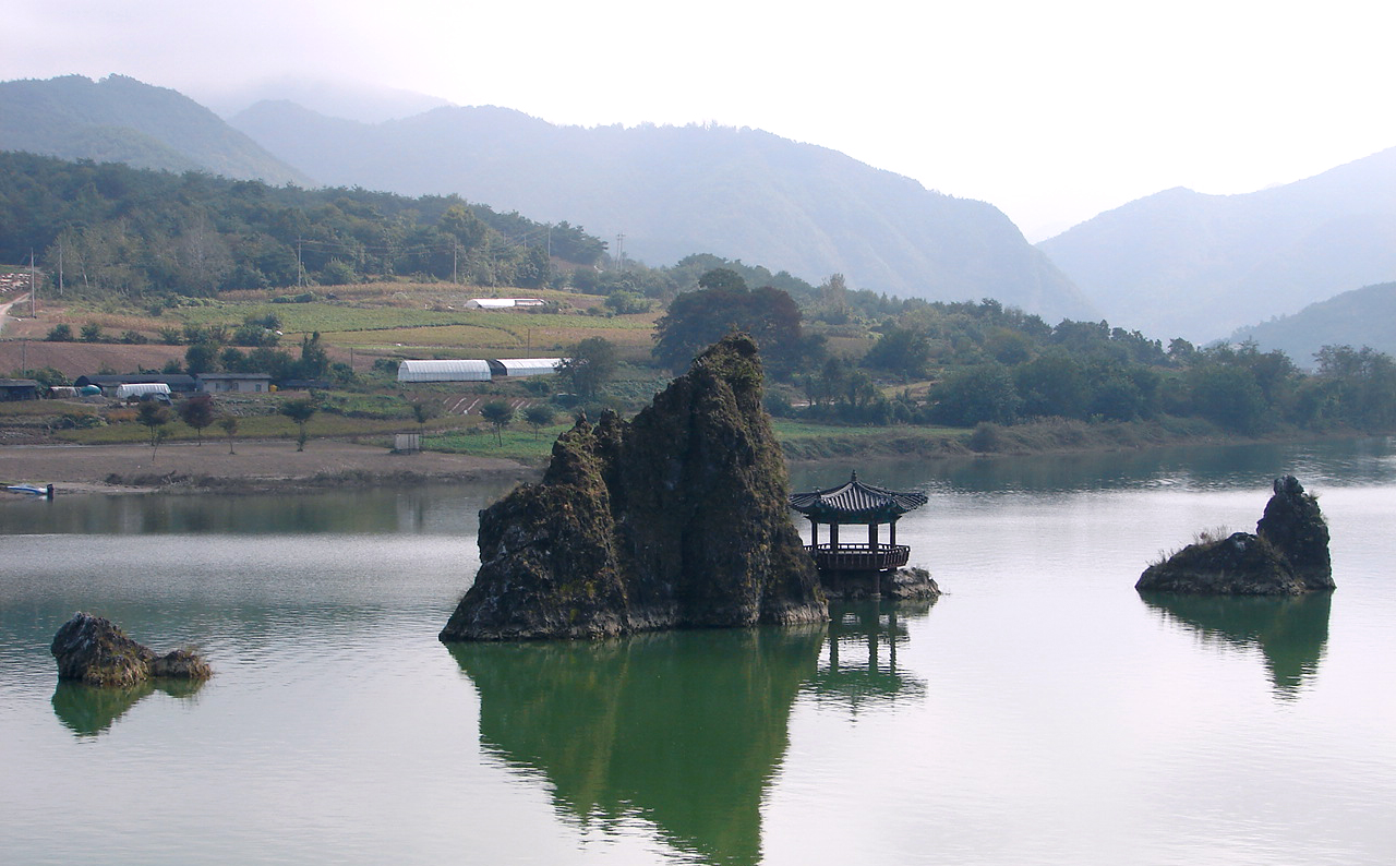
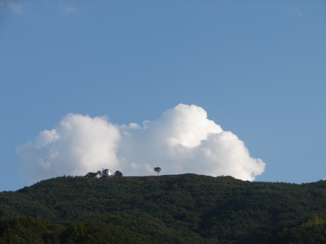
The geographical terrain is 83.7% mountainous and 11.2% cultivable. It is very rugged, except in some of the urban areas and villages that can be found in the valleys and hills. The main water system ranges from the upper stream of the 23.7 km long Namhan River, which flows through the county. Pyeongchang River, one of the streams flowing from Odaesan, joins several streams at Jungnyeong, Danyang, and Geumgok, originating from Sobaeksan. Danyang Stream, which has its source in Hakseongsan, Gyeongsangbuk-do, joins the Namhan River at Habang-ri, Danseong-myeon, together with Jungnyeong Stream flowing from Jungnyeong and Dosolsan to Hyeoncholli, Danyang-eup, Maepo Stream from Geumsusan to Dodam, and Geumgok Stream from Biro Peak to Gosu-ri, Danyang-eup.[1]
Climate
The county, which is situated in an inland mountainous area, epitomizes an inland climate with severe variations in temperatures. The annual average temperature reaches 11.2℃, with the highest at 17.7℃ and the lowest at 5.6℃, and its annual rainfall averages 1,195.8mm.
Tourism
- Gosu Cave
- Eight Views of Danyang
Sister cities
Gallery
-

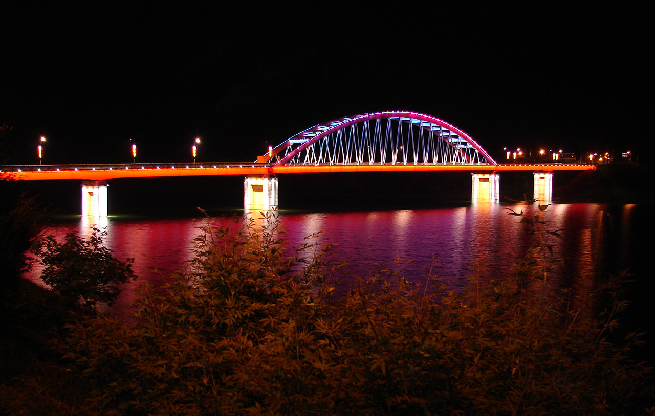
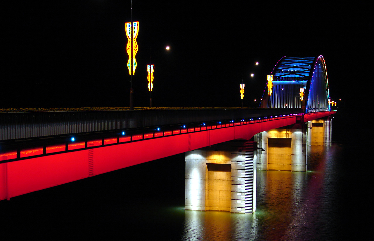
Danyang Bridge
-
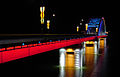
Danyang Bridge
-
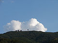
Lookout above the riverfront
-
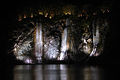
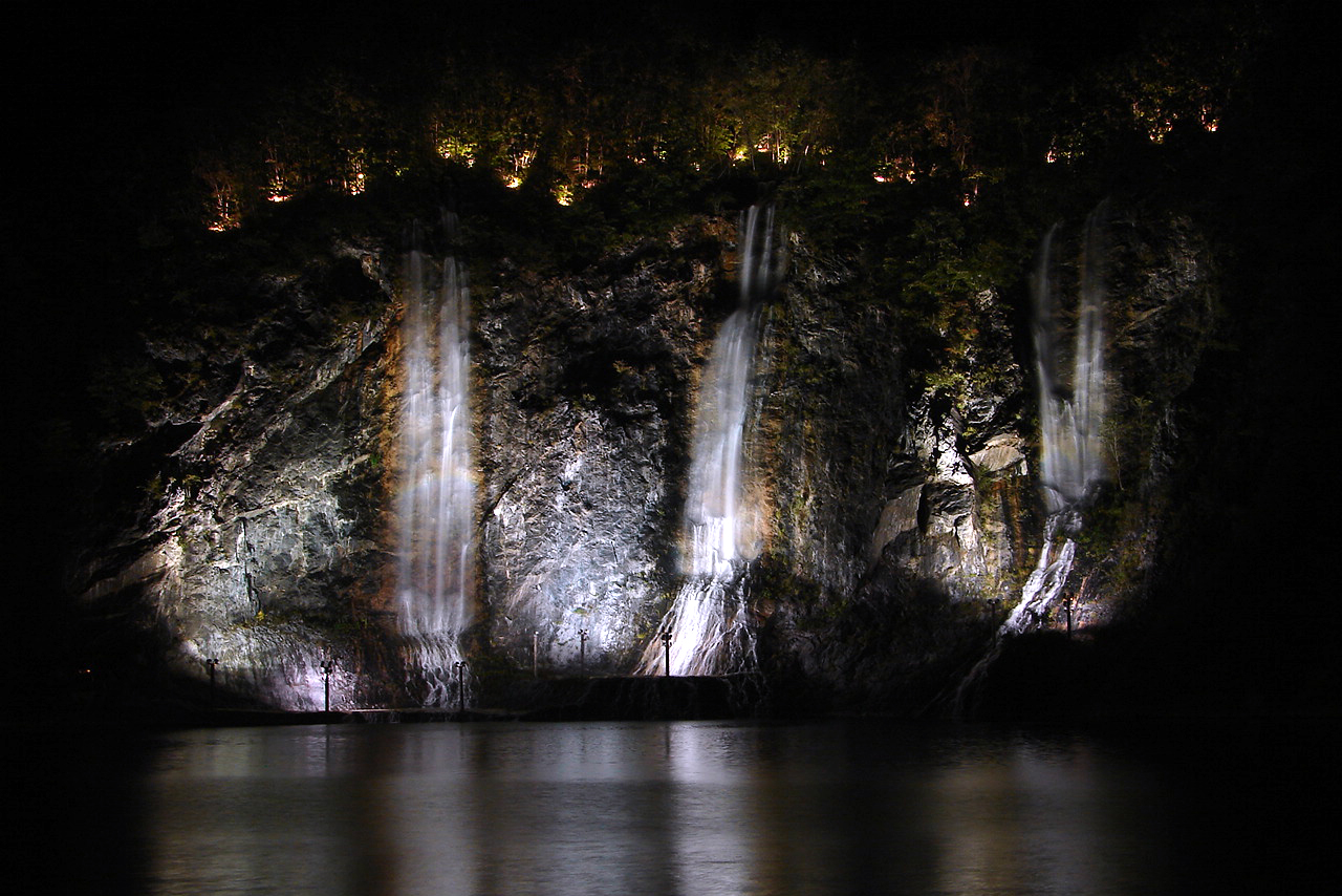
Waterfalls along the riverfront
-
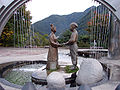
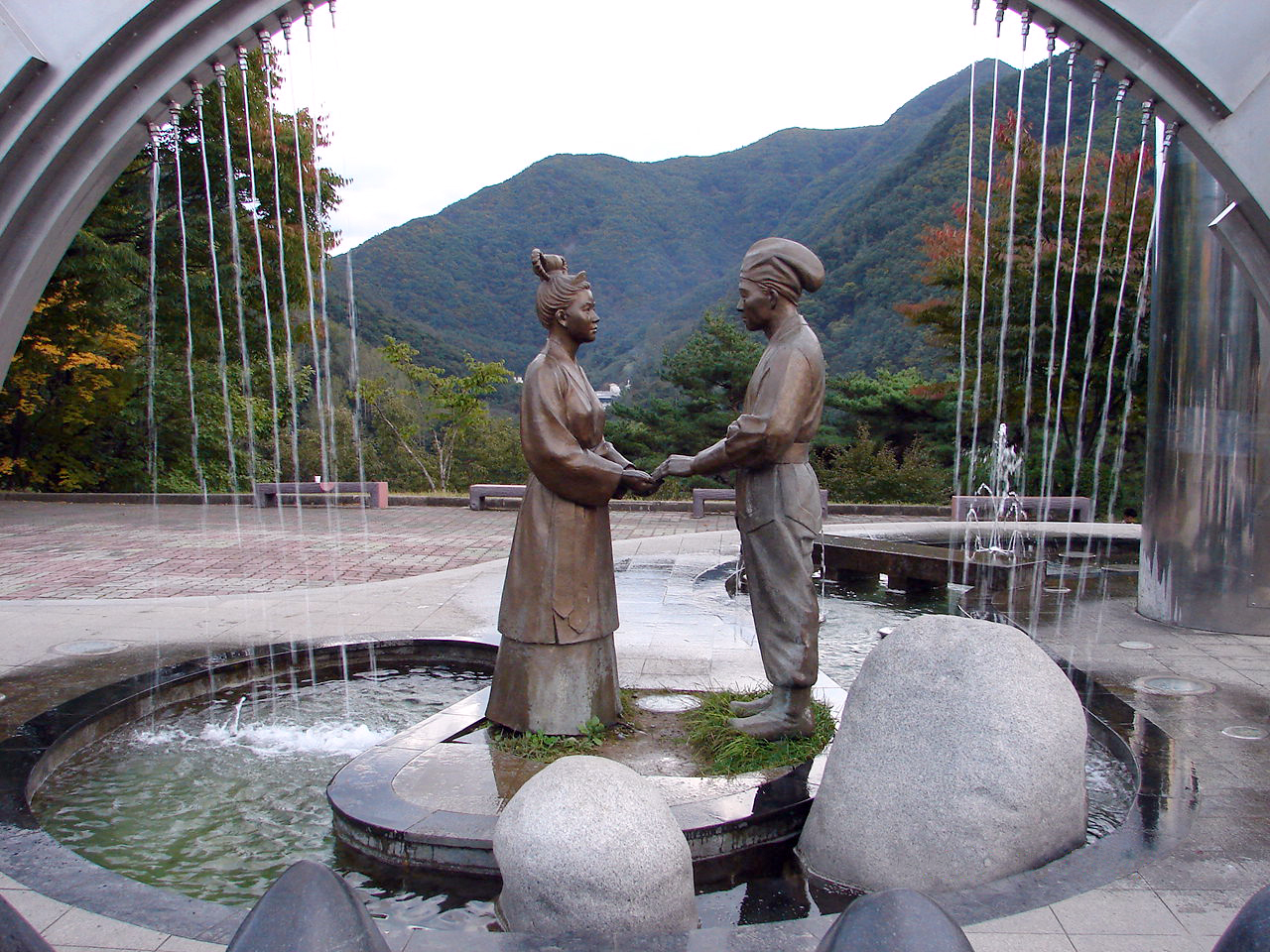
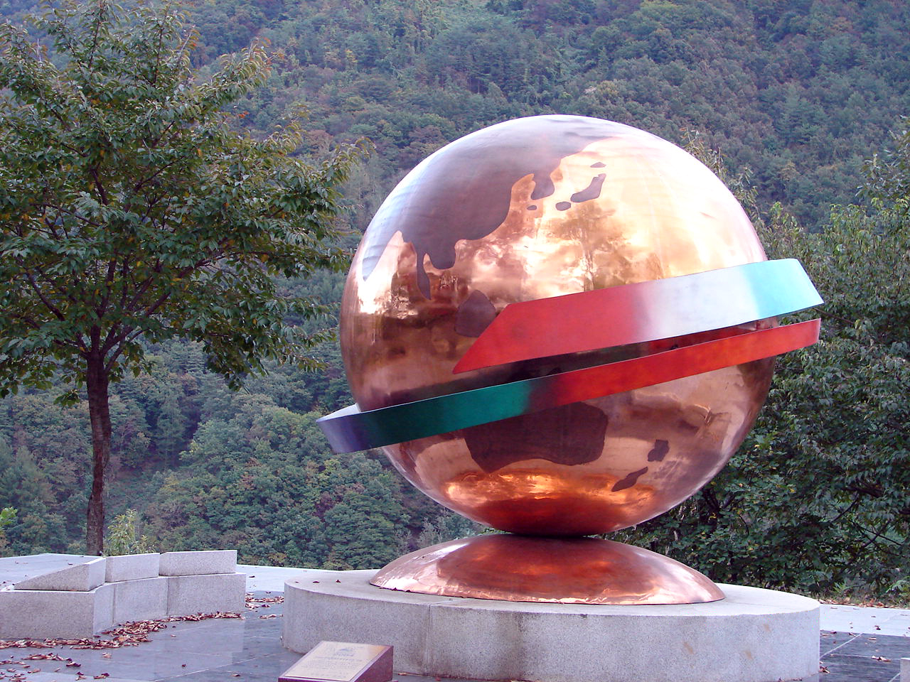
Danyang city park
-

Danyang city park
-
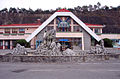
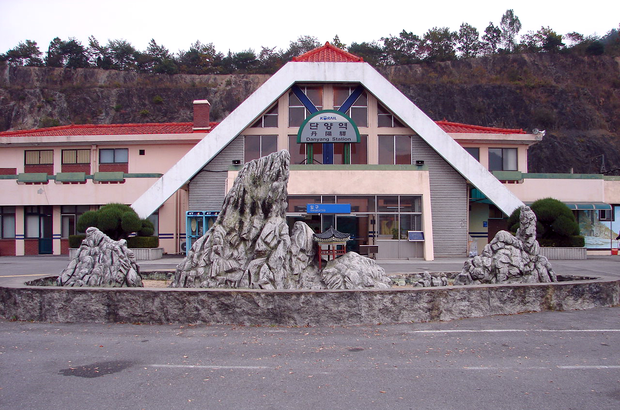
Danyang Korail Trainstation
-

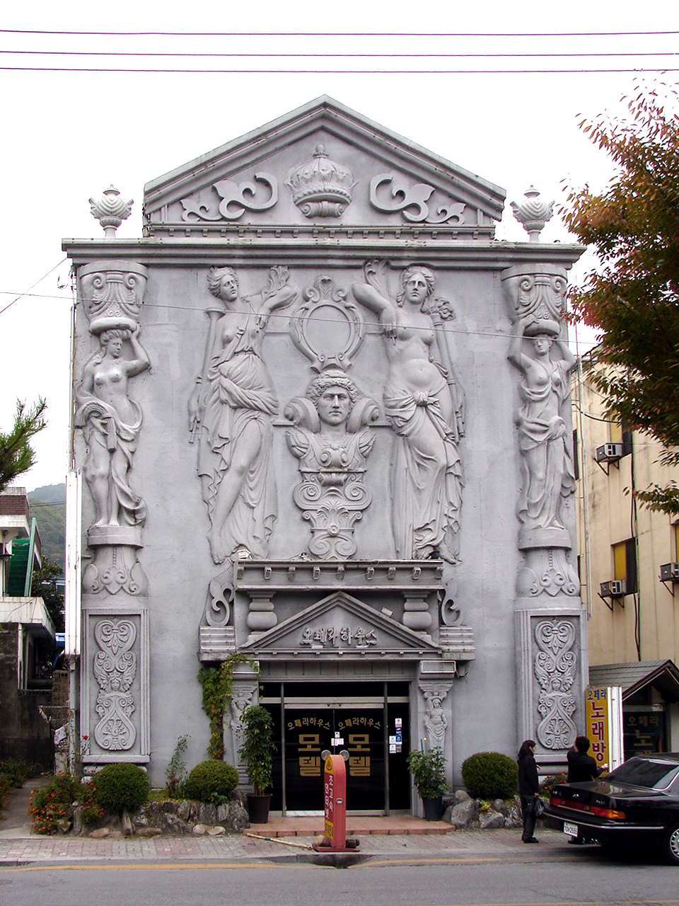
Tourist hotel typical of those along the riverfront
References
- ^ Official page of Danyang county http:englishy.dy21.net
External links
North Chungcheong 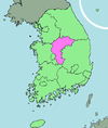
Capital Cities Counties Coordinates: 36°59′06″N 128°21′46″E / 36.98500001°N 128.362777788°E
Categories:- Counties of Chungcheongbuk-do
- Danyang, Chungcheongbuk-do

Wikimedia Foundation. 2010.