- Maughold (parish)
-
Coordinates: 54°17′55″N 4°19′03″W / 54.29861°N 4.31761°W
Maughold 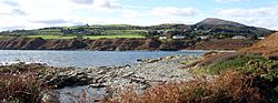
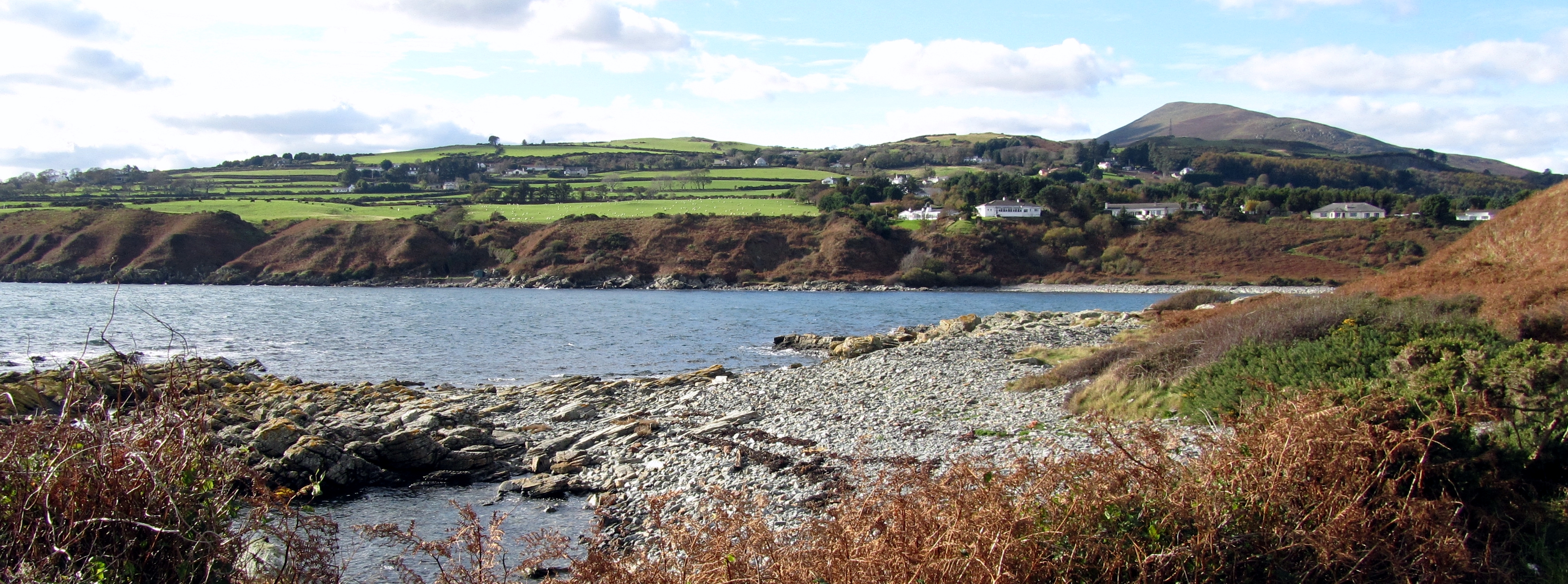
View of Port Mooar, Maughold with North Barrule in the background.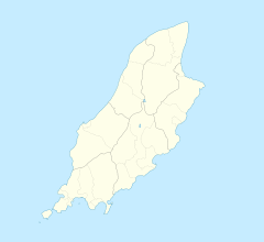
 Maughold
Maughold shown within the Isle of ManOS grid reference SC492917 Parish Maughold Sheading Garff Crown dependency Isle of Man Post town ISLE OF MAN Dialling code 01624 Police Isle of Man Fire Isle of Man Ambulance Isle of Man List of places: Isle of Man 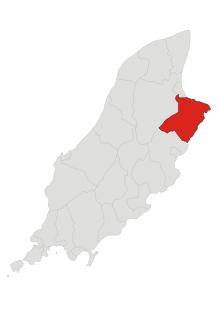 Parish of Maughold
Maughold is a village and parish in the Isle of Man. It is named for Maughold, the island's patron saint.
The village of Maughold lies on the coast some three miles from Ramsey, with mountainous terrain on its landward side. The parish includes most of the North Barrule, the second highest hill on the island. A proportion of the land in the area has been in Manx National Heritage ownership since 1965.[citation needed] Maughold church (the parish church for the area) contains a number of historically important Celtic crosses. Maughold Head to the east of the village is the easternmost point on the island and has a lighthouse.
References
- BBC Domesday Reloaded - [1] - D Block-GB-246000-41900 - Overview of Maughold Area.
- BBC Domesday Reloaded - [2] -D Block-GB-246000-41900 - Maughold Village
External links
List of places in the Isle of Man Towns 
Villages Andreas | Ballabeg | Ballasalla | Ballaugh | Barregarrow | Braaid | Colby | Cregneash | Crosby | Dalby | Derbyhaven | Foxdale | Glen Maye | Glen Vine | Laxey | Niarbyl | Newtown | Onchan | Port Soderick | Port St Mary | Port Erin | Ronague | St John's | Strang | Sulby | Union MillsSheadings Parishes 
This Manx location article is a stub. You can help Wikipedia by expanding it.