- Newtown, Isle of Man
-
Coordinates: 54°07′51″N 4°34′00″W / 54.1309°N 4.5666°W
Newtown Manx: Balley Noa
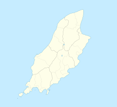
 Newtown shown within the Isle of Man
Population (2006 Census) OS grid reference SC324736 Parish Santon Sheading Middle Crown dependency Isle of Man Post town ISLE OF MAN Postcode district IM4 Dialling code 01624 Police Isle of Man Fire Isle of Man Ambulance Isle of Man House of Keys Middle List of places: Isle of Man Newtown (Manx: Balley Noa) is a community within the parish of Santon, Isle of Man. To the northern part of the community lies Mount Murray and to the north-west the Broogh Fort (54°08′09″N 4°34′39″W / 54.135776°N 4.577453°W) - an iron age fort dating from the 13th century.
List of places in the Isle of Man Towns 
Villages Andreas | Ballabeg | Ballasalla | Ballaugh | Barregarrow | Braaid | Colby | Cregneash | Crosby | Dalby | Derbyhaven | Foxdale | Glen Maye | Glen Vine | Laxey | Niarbyl | Newtown | Onchan | Port Soderick | Port St Mary | Port Erin | Ronague | St John's | Strang | Sulby | Union MillsSheadings Parishes Categories:- Villages in the Isle of Man
Wikimedia Foundation. 2010.

