- North Barrule
-
North Barrule Elevation 561.4 m (1,842 ft) Location Location Isle of Man North Barrule is the second highest peak in the Isle of Man at 1842 Feet.[1] From the summit the flat Northern plain of the Isle of Man can be viewed along with the coastlines of Ireland, Cumbria, Wales and Scotland.[2]
Contents
Climbing North Barrule
The summit of North Barrule can be attained by a rough hill walk with no need for technical climbing or scrambling. Although certain routes to the summit do provide the possibility for either.
According to Isle of Man community website (http://www.isleofman.com/Community/ePedia/Geography/Hills/North%20Barrule.aspx)
From the Black Hut, the walker must first ascend the peak of Clagh Ouyr, a short climb which should take no more than 20 minutes to complete. From there, it is a moderate walk along the ridge of hills to the summit of North Barrule. For a walker of average fitness, and at a leisurely pace, it should be a walk of approximately 1.5 - 2 hours. The terrain comprises mostly short, tussocky grass and is marshy in places.
From the Hibernia, follow the footpath signs up the tarmac road until it leads off the road and onto a rough track which winds steadily upwards to the left of the summit, between farm fields. Follow the track round for 40-50 minutes until you are facing the south slopes, above the Corrany Valley (it is also possible to make a longer ascent from the valley floor – turn off the A2 at the foot of the steep hill immediately after Dhoon Village; The Corrany is signposted). Begin to climb up through the fields, passing a ruined farmstead called Park Llewellyn on your left. A vertical dry stone wall winds upwards to the right, guiding towards the summit. Follow this until you meet the ridge path from Clagh Ouyr; after this, the path to the summit is clear. This route offers a shorter but more demanding walk.[2]
USAAF Boeing B-17 crash
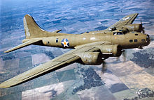 Example of a Boeing B-17 Flying Fortress
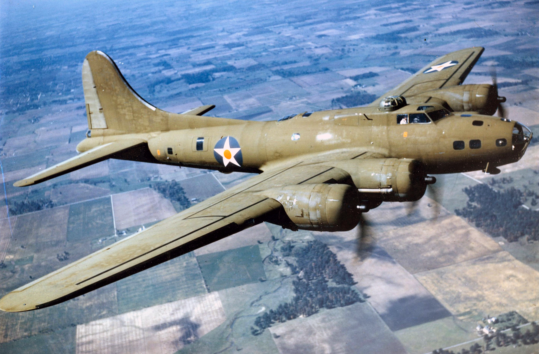
On the 23 April 1945, North Barrule was the site of a plane crash involving a United States Army Air Forces, Boeing B-17 Flying Fortress 43-38856 of 534th Bombardment Squadron and 381st Bombardment Group. The B-17 was flying from Ridgewell, Essex to Belfast Nutts Corner Airport for a memorial service for President Roosevelt in Belfast. But the B-17 crashed in fog on the Nothern slope of North Barrule where all 31 passengers and crew died.[3]
See also
References
Coordinates: 54°16′48″N 4°24′11″W / 54.28°N 4.403°W
Jul 28 B-25 Empire State Building crash
Oct 05 National Airlines Flight 16
Nov 03 Honolulu Clipper forced landing
Dec 06 Flight 19Incidents resulting in at least 50 deaths shown in italics. Deadliest incident shown in bold smallcaps. Categories:- Mountains and hills of the Isle of Man
- Aviation accidents and incidents in the United Kingdom
- Aviation accidents and incidents in 1945
Wikimedia Foundation. 2010.