- Trans Pennine Trail
-
 Marker at one end of the Trail (Hornsea seafront).
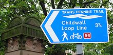
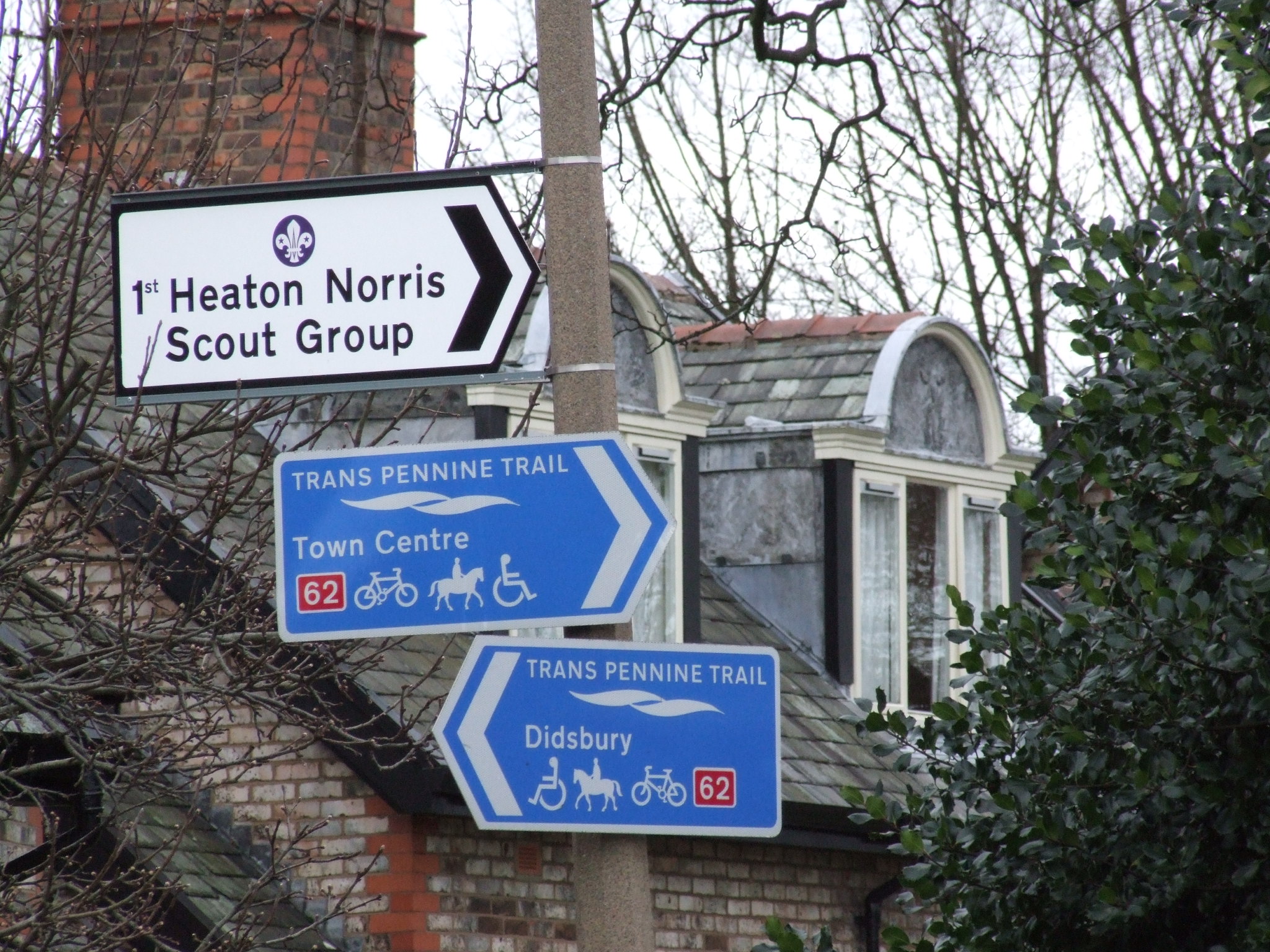
 Road signs in Stockport referring to the Trail.
The Trans Pennine Trail is a long distance path running from coast to coast across northern England entirely on surfaced paths and using only gentle gradients (it runs largely along disused railway lines and canal towpaths).
The surface and gradients make it a relatively easy trail, suitable for cyclists, pushchairs and wheelchair users. Some parts are also open to horse riding. It forms part of the National Cycle Network.
The trail is administered from a central office in Barnsley, which is responsible for promotion and allocation of funding. However, the twenty-seven local authorities whose areas the trail runs through are responsible for management of the trail within their boundaries.
Contents
History
The idea originated from Barnsley, where the head office is now based. Work on the Trail started in 1999. Early development was boosted by a £5-million-pound investment by the Millennium Commission. The trail was officially opened in September 2001. However, the route was not fully completed until late 2004. It cost £60 million pounds to construct.
Route
See also: Longdendale TrailThe main west/east trail starts at Southport, then heads south through the suburbs of Liverpool, through Widnes, Warrington, Stockport and Hadfield. It then crosses the Peak District, heading up the Longdendale valley via the Longdendale Trail to Woodhead, then down through Dunford Bridge and Penistone, Doncaster, Selby, Hessle, Hull and Hornsea. This route covers 207 miles (333.1 km).
There is also a north/south trail that runs from Leeds and through Wakefield. It then passes through Barnsley and crosses over the main trail in the Dearne Valley area. After that it continues south to Sheffield and the Rother Valley Country Park before terminating in Chesterfield. This route is 70 miles (112.7 km) long. The route also has several deviations and loops south of the west/east trail, including one to Rotherham.
Another 15-mile (24.1 km) spur runs from Selby to York.
The cross-continent European walking route E8 uses the trail between Hull and Liverpool to cross England. It also crosses both the eastern and western routes of the European walking route E2. It is also part of the National Cycle Network (Route 62).
Certificates
 National Cycle Network sign in Liverpool
Certificates are handed out for covering different parts of the trail. In order to obtain them, trail users need to collect stamps at various points along the trail.
- Southport to Hornsea - 207 miles (333.1 km)
- Liverpool to Hull - 179 miles (288.1 km)
- Liverpool to Hornsea - 192 miles (309.0 km)
- Southport to Hull - 194 miles (312.2 km)
- Whole route (including north/south links) - 350 miles (563.3 km)
See also
External links
- Official Trans Pennine Trail website
- View the Pennine Trail North East setion on BHS EMAGIN online map
- Interactive map of the western section
- Interactive map of the central section
- Interactive map of the eastern section
Attractions along the Trans Pennine Trail West Ainsdale National Nature Reserve · Chorlton Water Park · Dunham Massey Hall · Halewood Country Park · Ardotalia (Melandra Castle) Roman Fort · National Wildflower Centre · Pickerings Pasture Country Park · Reddish Vale · Sale Water Park · Speke Hall · Tate Gallery · Walton HallCentral Anglers Country Park · Elsecar Heritage Centre · Magna · Monk Bretton Priory · Poolsbrook Country Park · Rother Valley Country Park · Rothwell Colliery Country Park · Royal Armouries · RSPB Old Moor · Sheffield Winter Gardens · Thackray Museum · Thwaite Mills · Wentworth Woodhouse · Westwood Country Park · Worsbrough MillEast Categories:- Trans Pennine Trail
- Visitor attractions in Derbyshire
- Buildings and structures celebrating the third millennium
- Long-distance footpaths in England
Wikimedia Foundation. 2010.