Ardotalia

Ardotalia
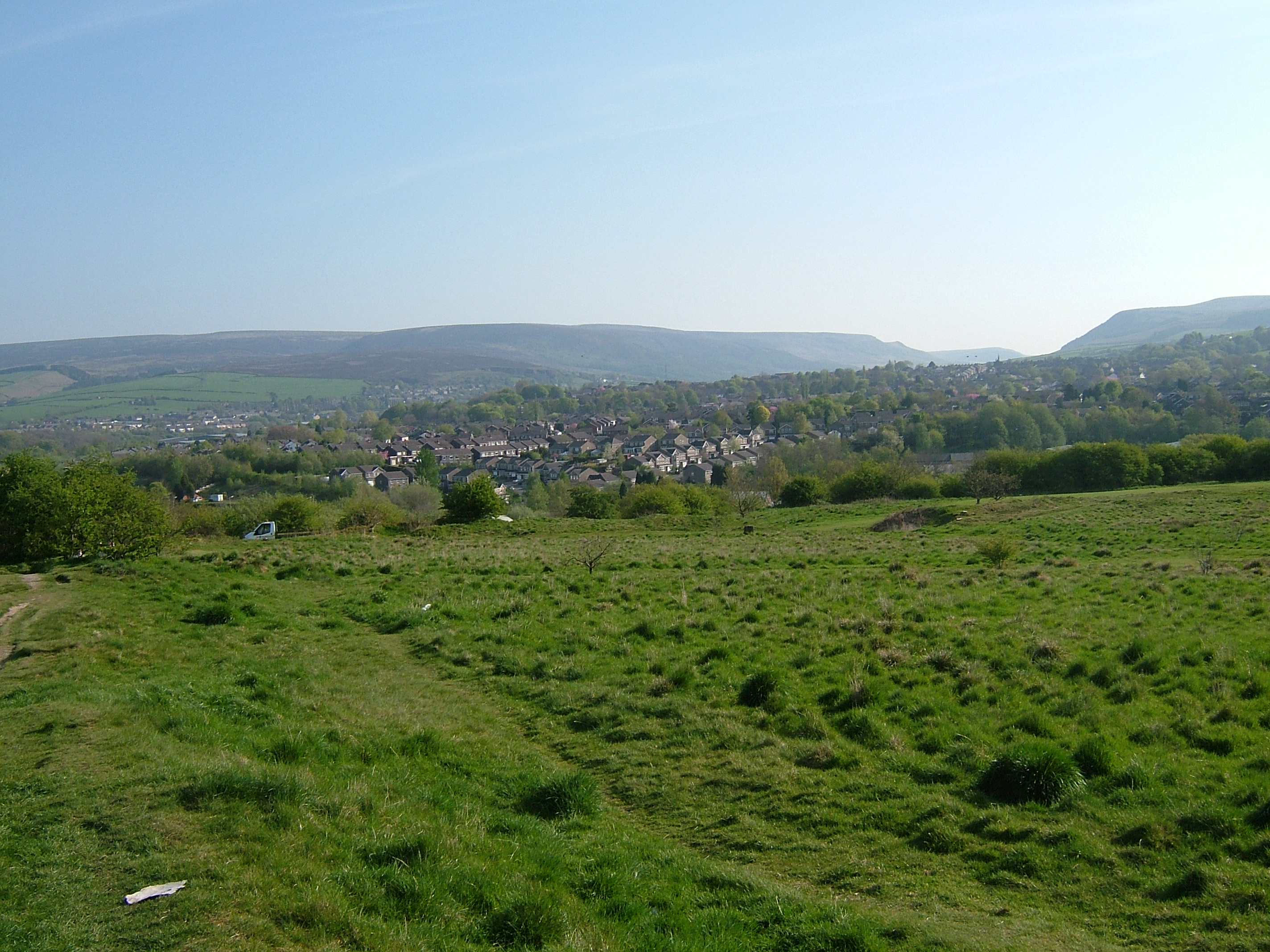
Ardotalia (Melandra Castle)
Across the overgrown site of the fort wher no walls remain with the hills of Tintwistle and Peak Naze behind
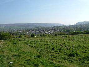
The fort today looking towards Longdendale
Ardotalia is located in Derbyshire
Map showing the location of Ardotalia within Derbyshire.
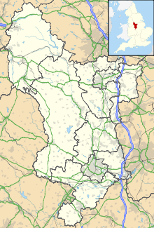
Location High Peak, Derbyshire
Region East Midlands
Coordinates 53°27′09″N 1°59′17″W / 53.4525°N 1.98806°W / 53.4525; -1.98806
Type Roman fort
History
Founded Cohors Primae Frisiavonum—The First Cohort of Frisiavones
Associated with 3rd Cohort of Bracara Augustani

Ardotalia (also known as Melandra, or Melandra Castle) is a Roman fort in Gamesley, near Glossop in Derbyshire, England (grid reference SK00919505).[1]

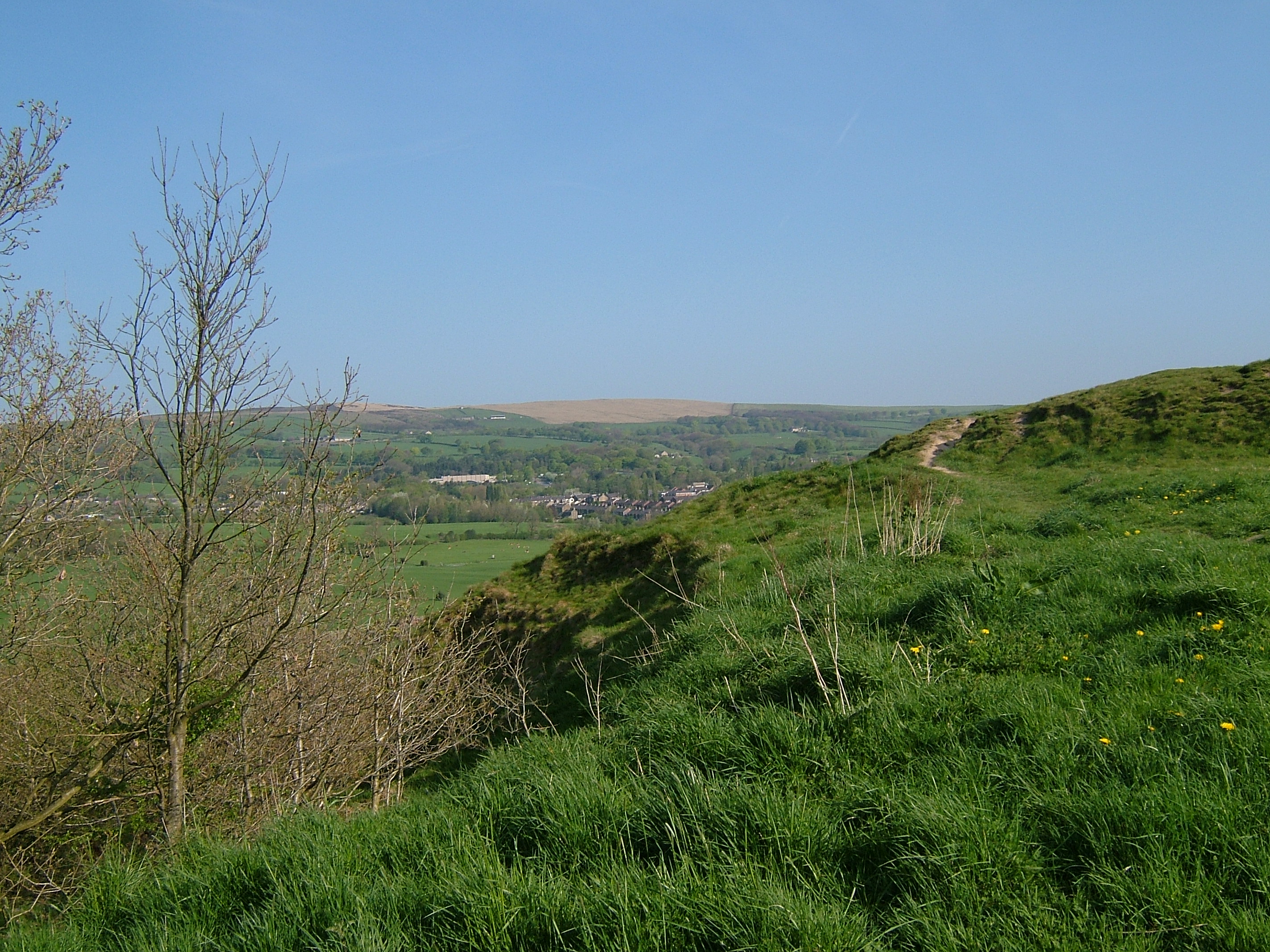
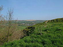
The western ramparts

Ardotalia was constructed by Cohors Primae Frisiavonum—The First Cohort of Frisiavones.[2] Evidence for the existence of this unit exists not only from the building stone found at the site but also from various diplomas and other Roman writings.[2] This unit would have had around a thousand men, including the specialist craftsmen needed to perform the skilled work of building the fort.[3]

This unit was assisted in constructing the fort by the 3rd Cohort of Bracara Augustani. These men were probably Iberian Celts from the colony of Braga in Portugal, who seem to have been attached to the XX Legion Valeria Victrix in Chester. Whilst it is unknown which of these Cohorts actually manned the fort it seems more likely that the 3rd Cohort of Bracara Augustani performed this duty, as they were from a hilly region and so were more experienced in holding terrain such as that found around Glossop. The Frisiavones were from low-lying lands beyond the Rhine and so may have been divided between the lower terrain of Manchester and Northwich.[3]

The First Cohort of Frisiavones were also present at Brocolitia, one of Hadrian's wall forts and settlements, at Carrawburgh, Northumberland. Evidence for this relies on an inscription on an altar stone, which tells us that Optio Maus (an NCO within the Cohort) had repaid a vow to the goddess Coventina.[2] Whether this altar was the repayment of the vow is unknown.

The name Melandra is of unknown origin but may have been originated by the John Watson, Rector of Stockport, who visited the site c. 1771 when substantial stone remains existed;[4] the Romans called the fort Ardotalia.[5]

References

Notes
Bibliography
  • Hanmer, J.; Winterbottom, D. (1993), The Book of Glossop (2nd ed.), Baron Birch, ISBN 0860234843 
  • Rivet, Albert Lionel Frederick; Smith, C. (1979), The Place-Names of Roman Britain, London: Batsford, ISBN 0713420774 

Wikimedia Foundation. 2010.

Игры ⚽ Нужна курсовая?

Look at other dictionaries:

  • Gamesley — Infobox UK place official name= Gamesley country= England region= East Midlands population= os grid reference= SK008945 latitude= 53.4481 longitude= 1.9859 static static image caption=Robin Wood near Gamesley. post town= GLOSSOP postcode area= SK …   Wikipedia

  • Carrawburgh — is a village in Northumberland. In Roman times, it was the site of a 3½ acre (1.5 ha) auxiliary fort on Hadrian s Wall called Brocolitia, Procolita, or Brocolita [The name Procolita is found in the 5th century document Notitia Dignitatum, and… …   Wikipedia

  • Peak District — Geobox|Protected Area name = Peak District native name = other name = other name1 = category local = National Park of England category iucn = V |240px image size = image caption = Peak District entrance stone on Hathersage Road, Sheffield country …   Wikipedia

  • Chatsworth House — across the River Derwent, with the Hunting Tower visible above Chatsworth House is a stately home in North Derbyshire, England, 3.5 miles (5.6 km) northeast of Bakewell and 9 miles (14 km) west of Chesterfield (GB Grid SK260700). It is… …   Wikipedia

  • Derwent Valley Mills — Derwent Valley Mills * UNESCO World Heritage Site Country Unit …   Wikipedia

  • Glossop — Infobox UK place official name= Glossop country= England region= East Midlands static static image caption= Glossop from Higher Dinting population= 32,428 (2001 Census) os grid reference= SK0393 latitude= 53.4380 longitude= 1.9473 map type=… …   Wikipedia

  • Sudbury Hall — The south front of Sudbury Hall Sudbury Hall is a country house in Sudbury, Derbyshire, England. Sudbury Hall is one the country s finest Restoration mansions and has Grade I listed building status. The Vernon family came to Sudbury as a result… …   Wikipedia

  • Roman sites in the United Kingdom — There are many Roman sites in the United Kingdom that are open to the public. It should be noted that there are many sites that do not require special access, including Roman roads, and sites that have not been uncovered.England*Ambleside Roman… …   Wikipedia

  • Mam Tor — This article is about a peak. For the English independent comic book publisher, see Mam Tor Publishing. Mam Tor Mam Tor from the south, March 2005 …   Wikipedia

  • Tameside — Metropolitan Borough of Tameside   Metropolitan borough   Tameside Council Offices, in Ashton under Lyne …   Wikipedia

Share the article and excerpts

Direct link
Do a right-click on the link above
and select “Copy Link”