- Nagareyama, Chiba
-
Nagareyama
流山市— City — 
FlagLocation of Nagareyama in Chiba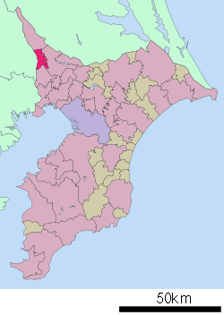

 Nagareyama
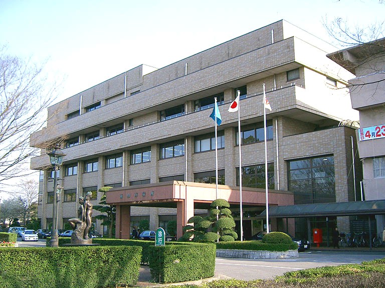
Coordinates: 35°51′N 139°54′E / 35.85°N 139.9°ECoordinates: 35°51′N 139°54′E / 35.85°N 139.9°E Country Japan Region Kantō Prefecture Chiba Government – Mayor Yoshiharu Izaki (since May 2003) Area – Total 35.28 km2 (13.6 sq mi) Population (February 2011) – Total 164,683 – Density 4,670/km2 (12,095.2/sq mi) Time zone Japan Standard Time (UTC+9) City Symbols -Tree Japanese Box - Flower Azalea Phone number 04-7158-1111 Address 1-1-1, Heiwadai, Nagareyama-shi, Chiba-ken 270-0192 Website City of Nagareyama  Nagareyama City Hall
Nagareyama (流山市 Nagareyama-shi) is a city located in northern Chiba Prefecture, Japan. As of February 2011, the town had an estimated population of 164,683 and a population density of 4670 persons per km². The total area was 35.28 km².
Contents
Geography
Nagareyama is located in the far northwestern corner of Chiba Prefecture, bordered by the Edogawa River to the west.
Neighboring municipalities
History
During the Edo period, Nagareyama was a river port on the Edogawa River. After the Meiji Restoration, Nagareyama Town was created in Inba District , Chiba Prefecture on April 1, 1889. On January 1, 1952, it merged with neighboring Edogawa Town to form a new Nagareyama Town. Nagareyama became a city on January 1, 1967.
Economy
Nagareyama is a regional commercial center and a bedroom community for nearby Chiba and Tokyo. The city is also noted for its production of mirin, a sweetened sake used for cooking.
Education
Universities
- Edogawa University
- Toyo Gakuen University
- Edogawa Junior College
Transportation
Railway
- Ryūtetsu - Nagareyama Line
- Hiregasaki – Heiwadai – Nagareyama
- Tōbu Railway - Tōbu Noda Line
- Edogawadai - Hatsuishi - Nagareyama-ōtakanomori
- East Japan Railway Company (JR East) - Musashino Line
- Metropolitan Intercity Railway Company - Tsukuba Express
Highway
Noted people from Nagareyama
- Hidekazu Otani – professional soccer player
- Naoki Sakai – professional soccer player
- Yukiko Sumiyoshi – manga artist
- Kotono Mitsuishi - seiyu
External links
- Nagareyama official website in Japanese
 Chiba Prefecture
Chiba (capital city) 
Other cities Inba District Katori District Sanbu District Chōsei District Isumi District Awa District 
This Chiba Prefecture location article is a stub. You can help Wikipedia by expanding it.