- Cohocton (village), New York
-
Cohocton Village  Downtown Cohocton
Country USA State New York Region Southern Tier County Steuben Town Cohocton River Cohocton Center Junction of state routes 371 and 415 - elevation 1,340 ft (408 m) - coordinates 42°30′1″N 77°29′37″W / 42.50028°N 77.49361°W Highest point N boundary - elevation 1,760 ft (536 m) - coordinates 42°30′33″N 77°30′12″W / 42.50917°N 77.50333°W Lowest point Cohocton River at S boundary - elevation 1,260 ft (384 m) - coordinates 42°29′15″N 77°30′9″W / 42.4875°N 77.5025°W Area 1.5 sq mi (4 km2) Population 854 (2000) Density 568.2 / sq mi (219 / km2) Government Town and Village Hall - location South Main Street - elevation 1,320 m (4,331 ft) - coordinates 42°29′54″N 77°29′41″W / 42.49833°N 77.49472°W Mayor Thomas Cox Timezone EST (UTC-5) - summer (DST) EDT (UTC-4) ZIP Code 14826 Area code 585 Exchange 384 FIPS code 36-16727 GNIS feature ID 0947007 
 Location of Cohocton within New York
Wikimedia Commons: Cohocton, New York Website: Welcome to Cohocton Cohocton is a village in Steuben County, New York, United States. The population was 854 at the 2000 census. The name is derived from an Iroquois phrase for "log in the water."
The Village of Cohocton is in the southeast part of the Town of Cohocton, and is northwest of Bath, NY.
Contents
History
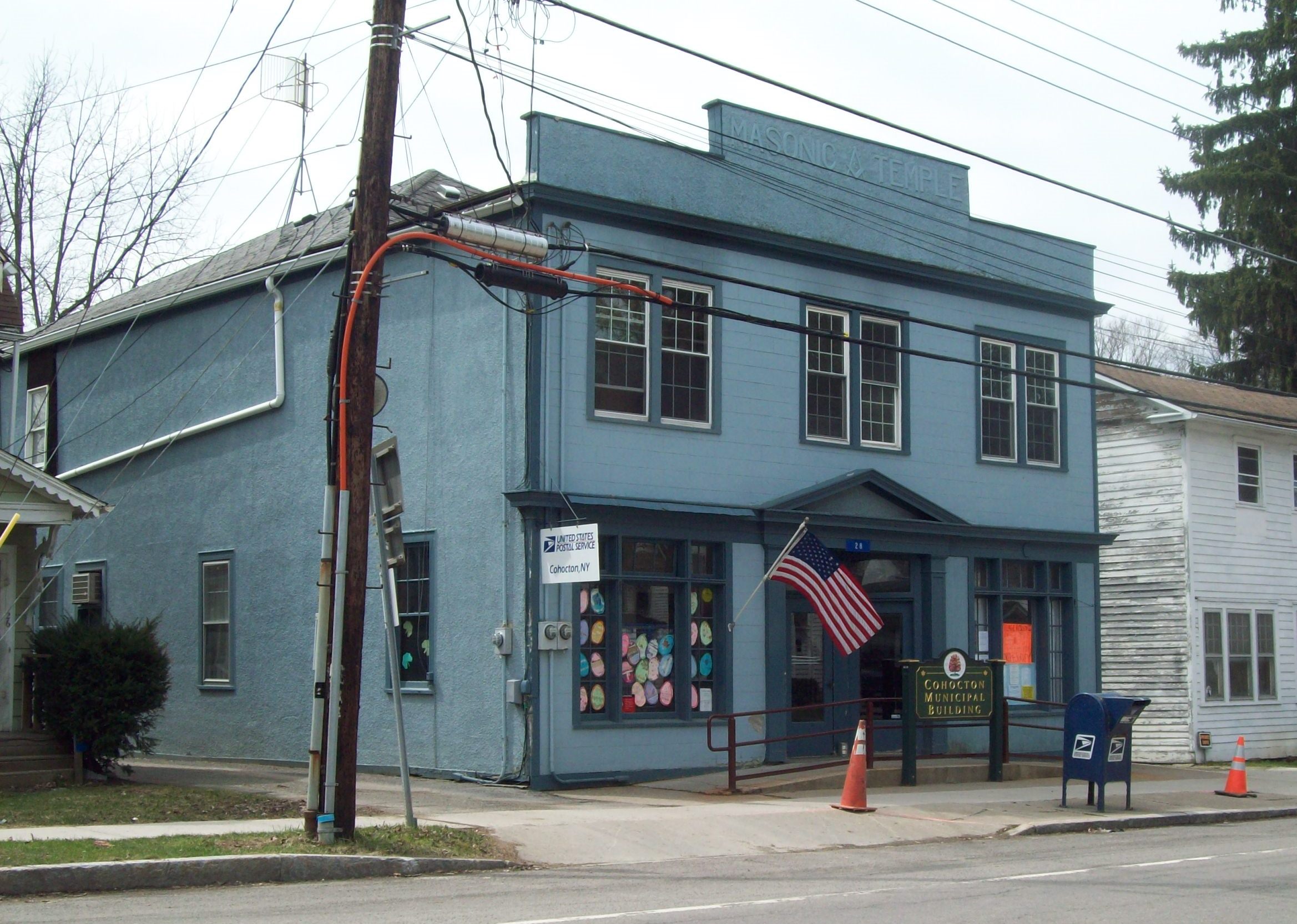
 Cohocton Post Office and Municipal Building, April 2011
The village was once known as "Liberty," but changed it name to Cohocton when it was incorporated as a village in 1891. The Larrowe House, formerly occupied as The Cohocton Town and Village Hall, was listed on the National Register of Historic Places in 1989.[1] The Cohocton Historical Society acquired the house in August 2009.
Geography
Cohocton is located at 42°29′55″N 77°29′57″W / 42.49861°N 77.49917°W (42.498705, -77.499208)[2].
According to the United States Census Bureau, the village has a total area of 1.5 square miles (3.9 km²).None of the area is covered with water.
The village is next to Interstate 390. New York State Route 371, New York State Route 415, and County Road 121 lead into the village.
Cohocton is on the Gang Mills (Painted Post) to Wayland Line of the B&H Rail Corp. The B&H also has a spur which serves an industrial district on the east side of the Conhocton River. The B&H's office and shops are located adjacent to the Gang Mills-Wayland line.
The Conhocton River flows southward through the village.
Demographics
As of the census[3] of 2000, there were 854 people, 316 households, and 224 families residing in the village. The population density was 568.2 people per square mile (219.8/km²). There were 349 housing units at an average density of 232.2 per square mile (89.8/km²). The racial makeup of the village was 98.48% White, 1.17% Native American, and 0.35% from two or more races. Hispanic or Latino of any race were 0.12% of the population.
There were 316 households out of which 38.6% had children under the age of 18 living with them, 49.1% were married couples living together, 13.6% had a female householder with no husband present, and 29.1% were non-families. 24.1% of all households were made up of individuals and 11.7% had someone living alone who was 65 years of age or older. The average household size was 2.68 and the average family size was 3.08.
In the village the population was spread out with 30.7% under the age of 18, 7.5% from 18 to 24, 27.8% from 25 to 44, 20.7% from 45 to 64, and 13.3% who were 65 years of age or older. The median age was 35 years. For every 100 females there were 99.1 males. For every 100 females age 18 and over, there were 92.2 males.
The median income for a household in the village was $35,147, and the median income for a family was $38,438. Males had a median income of $30,057 versus $22,321 for females. The per capita income for the village was $13,660. About 13.5% of families and 15.3% of the population were below the poverty line, including 18.8% of those under age 18 and 9.6% of those age 65 or over.
References
- ^ "National Register Information System". National Register of Historic Places. National Park Service. 2009-03-13. http://nrhp.focus.nps.gov/natreg/docs/All_Data.html.
- ^ "US Gazetteer files: 2010, 2000, and 1990". United States Census Bureau. 2011-02-12. http://www.census.gov/geo/www/gazetteer/gazette.html. Retrieved 2011-04-23.
- ^ "American FactFinder". United States Census Bureau. http://factfinder.census.gov. Retrieved 2008-01-31.
External links
Municipalities and communities of Steuben County, New York Cities 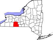
Towns Addison | Avoca | Bath | Bradford | Cameron | Campbell | Canisteo | Caton | Cohocton | Corning | Erwin | Fremont | Greenwood | Hartsville | Hornby | Hornellsville | Howard | Jasper | Lindley | Prattsburgh | Pulteney | Rathbone | Thurston | Troupsburg | Tuscarora | Urbana | Wayland | Wayne | West Union | Wheeler | Woodhull
Villages Addison | Almond‡ | Arkport | Avoca | Bath | Canisteo | Cohocton | Hammondsport | North Hornell | Painted Post | Riverside | Savona | South Corning | Wayland
CDP Footnotes ‡This populated place also has portions in an adjacent county or counties
Categories:- Villages in New York
- Populated places in Steuben County, New York


Wikimedia Foundation. 2010.