- Morristown (town), New York
-
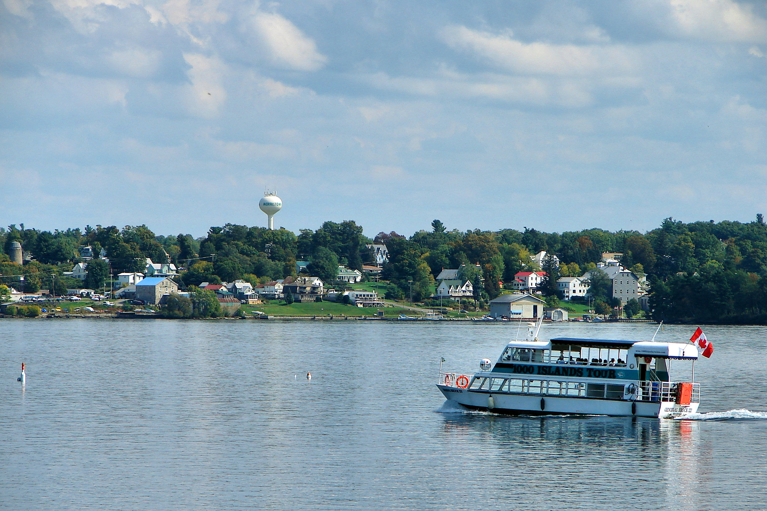
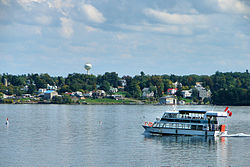 Morristown as seen across the St. Lawrence River
Morristown is a town in St. Lawrence County, New York, United States. The population was 2,050 at the 2000 census. The town is named after Gouverneur Morris, a signer of the United States Declaration of Independence and landowner in New York.
The Town of Morristown is on the northwestern part of the county and contains a village also named Morristown. The village and town are northwest of Gouverneur.
Contents
History
The town, part of Macomb's Purchase, was first settled permanently around 1808 on the site of the present Morristown village.
One of the first battles in the War of 1812 was a naval battle in the St. Lawrence River between two warships.
The town was established in 1821 from part of the Town of Oswegatchie, where it was known as "Haque.". Morristown was reduced twice to make new towns: Hammond (1827) and Macomb (1841).
Due to the lack of waterpower, a windmill was erected in 1825.
Geography
According to the United States Census Bureau, the town has a total area of 59.4 square miles (153.9 km²), of which, 45.9 square miles (118.8 km²) of it is land and 13.6 square miles (35.1 km²) of it (22.83%) is water.
The north town line of Morristown is the international border with Ontario, Canada, defined by the Saint Lawrence River. The town is dominated by two major bodies of water: the St. Lawrence River and Black Lake, which defines the south town line.
New York State Route 37 is an east-west highway. New York State Route 12, another east-west route, is more northerly and follows the St. Lawrence River. New York State Route 58 is a north-south route, which intersects NY-37 at Morristown village.
Demographics
As of the census[1] of 2000, there were 2,050 people, 816 households, and 581 families residing in the town. The population density was 44.7 people per square mile (17.3/km²). There were 1,535 housing units at an average density of 33.5 per square mile (12.9/km²). The racial makeup of the town was 97.56% White, 0.49% Black or African American, 0.98% Native American, 0.10% Asian, 0.20% from other races, and 0.68% from two or more races. Hispanic or Latino of any race were 1.02% of the population.
There were 816 households out of which 29.9% had children under the age of 18 living with them, 56.4% were married couples living together, 10.2% had a female householder with no husband present, and 28.7% were non-families. 23.9% of all households were made up of individuals and 8.8% had someone living alone who was 65 years of age or older. The average household size was 2.50 and the average family size was 2.90.
In the town the population was spread out with 25.0% under the age of 18, 6.0% from 18 to 24, 26.7% from 25 to 44, 28.3% from 45 to 64, and 13.9% who were 65 years of age or older. The median age was 40 years. For every 100 females there were 99.2 males. For every 100 females age 18 and over, there were 98.3 males.
The median income for a household in the town was $33,458, and the median income for a family was $36,591. Males had a median income of $30,474 versus $20,741 for females. The per capita income for the town was $17,133. About 11.5% of families and 16.4% of the population were below the poverty line, including 26.7% of those under age 18 and 5.9% of those age 65 or over.
Communities and locations in the Town of Morristown
- American Island – A small island in the St. Lawrence River in the northwest corner of Morristown.
- Big Bay – A bay at the southwest end of Black Lake.
- Big Island – A large island at the south end of Black Lake.
- Black Lake – An elongated lake that defines the southeast town line.
- Booths Island – An island in Black Lake by Edwardsville.
- Bowman Island – An island at the south end of Black Lake.
- Brier Hill – A hamlet south of Morristown village on NY-37.
- Brier Hill Station – A location south of Brier Hill, settled around 1853.
- Cedars – A hamlet in the southwest corner of the townby Black Lake on County Road 6.
- Chippewa Creek – A stream flowing southwest through the town.
- Conger Island – An island at the south end of Black Lake.
- Edgewater Park – A hamlet northeast of Morristown village on the St. Lawerence River.
- Edwardsville – A hamlet at the south town line on NY-58 by County Road 6, named after an early postmaster. It was formerly called "The Narrows" and was the location of a ferry across Black Lake. The crossing is now achieved by a bridge.
- Emery Island – An island at the south end of Black Lake.
- Elizabeth Island – An island in Black Lake, formerly a club for the wealthy.
- Jacques Cartier State Park – A state park southwest of Morristown village.
- Lonesome Bay – A bay at the southwest end of Black Lake.
- Longs Corners – A hamlet between Morristown village and Edwardsville on NY-58.
- Lower Deep Bay – A bay north of Big Island.
- Morristown – The Village of Morristown is on the south bank of the St. Lawrence River by the junctions of NY-12, NY-37 and NY-58.
- Morristown Center – A hamlet by the eastern town line.
- Old Man Island – A small island in the St. Lawrence River east of the state park.
- Point Comfort – A projection into the St. Lawrence River west of the state park.
- Terrace Park – A hamlet northeast of Morristown village and south of Edgewater Park.
- Upper Deep Bay – A bay south of Big Island.
Cultural allusions
- Morristown is mentioned in Chapter LI of Theodore Dreiser's The Titan.
References
- ^ "American FactFinder". United States Census Bureau. http://factfinder.census.gov. Retrieved 2008-01-31.
External links
- Morristown area Chamber of Commerce site
- Early Morristown history
- 1825 Old Stone Windmill [1] [2]
Municipalities and communities of St. Lawrence County, New York City 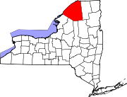
Towns Brasher | Canton | Clare | Clifton | Colton | De Kalb | De Peyster | Edwards | Fine | Fowler | Gouverneur | Hammond | Hermon | Hopkinton | Lawrence | Lisbon | Louisville | Macomb | Madrid | Massena | Morristown | Norfolk | Oswegatchie | Parishville | Piercefield | Pierrepont | Pitcairn | Potsdam | Rossie | Russell | Stockholm | Waddington
Villages Canton | Edwards | Gouverneur | Hammond | Hermon | Heuvelton | Massena | Morristown | Norwood | Potsdam | Rensselaer Falls | Richville | Waddington
CDPs Other
hamletsCranberry Lake | Crary Mills | Helena | Massena Center | Morley | Newton Falls | Rooseveltown | Wanakena
Categories:- Towns in New York
- 1821 establishments in the United States
- Populated places in St. Lawrence County, New York

Wikimedia Foundation. 2010.