- Potsdam (village), New York
Infobox Settlement
official_name = Potsdam, New York
settlement_type = Village
nickname =
motto = Si vis pacem para bellum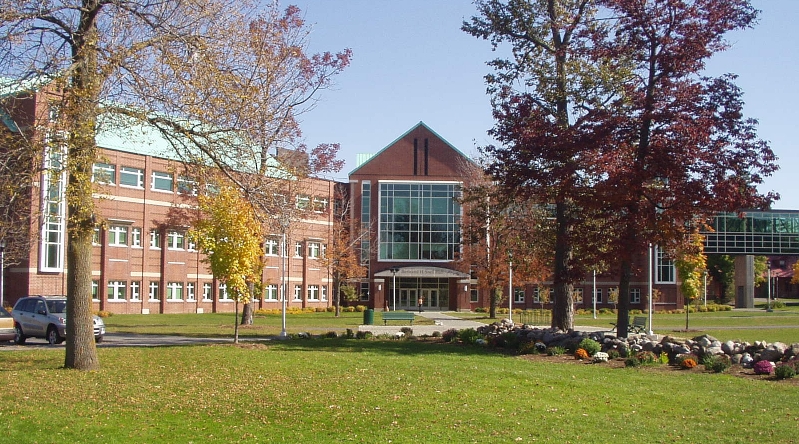
imagesize =
image_caption = Clarkson U., Bertrand H. Snell Hall
image_|pushpin_
pushpin_label_position =
pushpin_map_caption =Location within the state of New York
pushpin_mapsize =
mapsize =
map_caption =
mapsize1 =
map_caption1 =subdivision_type = Country
subdivision_name =United States
subdivision_type1 = State
subdivision_name1 =New York
subdivision_type2 = County
subdivision_name2 = St. Lawrence
government_footnotes =
government_type =
leader_title =
leader_name =
leader_title1 =
leader_name1 =
established_title =
established_date =unit_pref = Imperial
area_footnotes =area_magnitude =
area_total_km2 = 12.6
area_land_km2 = 11.4
area_water_km2 = 1.2
area_total_sq_mi = 4.8
area_land_sq_mi = 4.4
area_water_sq_mi = 0.5population_as_of = 2000
population_footnotes =
population_total = 9425
population_density_km2 = 829.4
population_density_sq_mi = 2148.2timezone = Eastern (EST)
utc_offset = -5
timezone_DST = EDT
utc_offset_DST = -4
elevation_footnotes =
elevation_m = 132
elevation_ft = 433
latd = 44 |latm = 40 |lats = 15 |latNS = N
longd = 74 |longm = 59 |longs = 3 |longEW = Wpostal_code_type =
postal_code =
area_code =
blank_name = FIPS code
blank_info = 36-59564
blank1_name = GNIS feature ID
blank1_info = 0977239
website =
footnotes =Potsdam is a
village located in the Town of Potsdam in St. Lawrence County,New York ,USA . The population was 9,425 at the 2000 census.The Village of Potsdam is in the eastern part of the town and is northeast of Canton, the county seat.
The village is the locale of
Clarkson University as well asState University of New York at Potsdam .History
The village was formerly a community of the St. Regis Indians. The early European settlers arrived at that location around 1803.
The village was incorporated in
1831 . In 1841, the village charter was amended to increase the size of the village.Geography
Potsdam is located at coor dms|44|40|15|N|74|59|3|W|city (44.670873, -74.984281)GR|1.
According to the
United States Census Bureau , the village has a total area of 4.8square mile s (12.6km² ), of which, 4.4 square miles (11.4 km²) of it is land and 0.5 square miles (1.2 km²) of it (9.48%) is water.The village is on the banks of the
Raquette River .US Route 11 passes through the village from east to west, and
New York State Route 56 passes through from north to south.New York State Route 11B enters from the east, andNew York State Route 345 enters from the northwest.Demographics
As of the
census GR|2 of 2000, there were 9,425 people, 2,543 households, and 1,040 families residing in the village. Thepopulation density was 2,148.2 people per square mile (828.9/km²). There were 2,705 housing units at an average density of 616.5/sq mi (237.9/km²). The racial makeup of the village was 91.60% White, 2.50% Black or African American, 0.36% Native American, 3.88% Asian, 0.01% Pacific Islander, 0.53% from other races, and 1.11% from two or more races. Hispanic or Latino of any race were 1.75% of the population.There were 2,543 households out of which 21.5% had children under the age of 18 living with them, 28.5% were married couples living together, 10.3% had a female householder with no husband present, and 59.1% were non-families. 40.8% of all households were made up of individuals and 15.6% had someone living alone who was 65 years of age or older. The average household size was 2.14 and the average family size was 2.90.
In the village the population was spread out with 11.3% under the age of 18, 56.2% from 18 to 24, 14.1% from 25 to 44, 9.4% from 45 to 64, and 9.1% who were 65 years of age or older. The median age was 22 years. For every 100 females there were 110.1 males. For every 100 females age 18 and over, there were 109.8 males.
The median income for a household in the village was $21,273, and the median income for a family was $37,933. Males had a median income of $31,610 versus $24,324 for females. The
per capita income for the village was $10,824. About 18.2% of families and 34.0% of the population were below thepoverty line , including 20.8% of those under age 18 and 13.8% of those age 65 or over.References
External links
* [http://www.vi.potsdam.ny.us/ Village's website]
* [http://www.discoverpotsdam.com Discover Potsdam]
* [http://history.rays-place.com/ny/potsdam-1-ny.htm Potsdam area early history]

Wikimedia Foundation. 2010.