- Ovid (village), New York
-
Ovid, New York — Village — Location within the state of New York
 Ovid, New York
Coordinates: 42°40.5′N 76°49.6′W / 42.675°N 76.8267°WCoordinates: 42°40.5′N 76°49.6′W / 42.675°N 76.8267°W Country United States State New York County Seneca Area – Total 0.4 sq mi (1.1 km2) – Land 0.4 sq mi (1.1 km2) – Water 0.0 sq mi (0.0 km2) Elevation 968 ft (295 m) Population (2000) – Total 612 – Density 1,460.9/sq mi (564.1/km2) Time zone Eastern (EST) (UTC-5) – Summer (DST) EDT (UTC-4) ZIP code 14521 Area code(s) 607 FIPS code 36-55816 GNIS feature ID 0959663 Ovid is a village in and one of the two county seats of Seneca County, New York, United States. The population was 612 at the 2000 census. The town was named by a clerk interested in the classics (see Ovid).
The Village of Ovid is within the Town of Ovid and is southeast of Geneva, New York.
Contents
History
Ovid and the surrounding area was part the lands controlled by the Iroquois. The Sullivan Expedition of 1779 drove away or killed many of these natives to reduce their raiding in support of the British. After the American Revolution the village was in the Central New York Military Tract, used to compensate soldiers.
Ovid was the first county seat of Seneca County, and a courthouse was erected in 1806. When adjacent towns were created from Ovid and placed in other counties, Ovid was seen as being too far from the county center, and Waterloo became the county seat. Later, Waterloo itself became located on the northern fringe of the county when new towns created there were assigned to new counties. The ultimate solution was to make both Ovid and Waterloo county seats.
The village was incorporated in 1816, but dissolved in 1849, and then re-incorporated in 1852.
Geography
Ovid is located at 42°40.5′N 76°49.6′W / 42.675°N 76.8267°W (42.6775, -76.8243)[1].
According to the United States Census Bureau, the village has a total area of 0.4 square miles (1.1 km²), none of which is covered with water.
The village is in the Finger Lakes District, lying between Cayuga Lake and Seneca Lake.
New York State Route 96, New York State Route 96A, and New York State Route 414, along with County Road 139, converge at the village.
Simpson Creek flows through the village to Seneca Lake.
Demographics
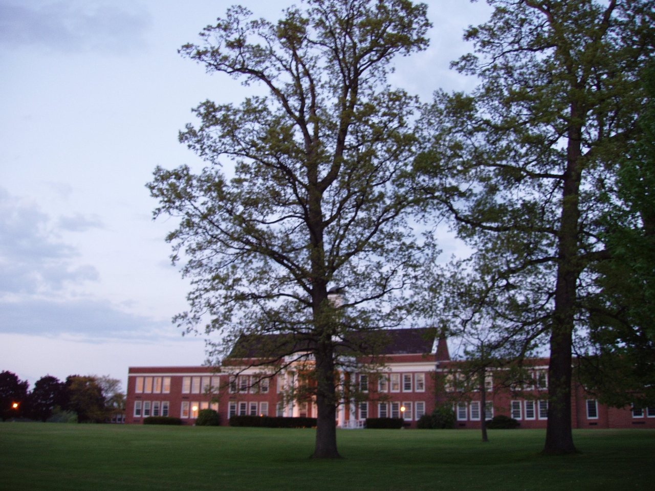
 South Seneca Junior/Senior High School (In Ovid)
As of the census[2] of 2000, there were 612 people, 245 households, and 149 families residing in the village. The population density was 1,460.9 people per square mile (562.6/km²). There were 280 housing units at an average density of 668.4 per square mile (257.4/km²). The racial makeup of the village was 93.79% White, 0.98% Black or African American, 0.65% Native American, 0.33% Asian, 2.29% from other races, and 1.96% from two or more races. Hispanic or Latino of any race were 3.59% of the population.
There were 245 households out of which 33.1% had children under the age of 18 living with them, 41.2% were married couples living together, 13.9% had a female householder with no husband present, and 38.8% were non-families. 33.1% of all households were made up of individuals and 18.0% had someone living alone who was 65 years of age or older. The average household size was 2.50 and the average family size was 3.25.
In the village the population was spread out with 30.7% under the age of 18, 7.2% from 18 to 24, 27.3% from 25 to 44, 19.8% from 45 to 64, and 15.0% who were 65 years of age or older. The median age was 35 years. For every 100 females there were 87.7 males. For every 100 females age 18 and over, there were 79.7 males.
The median income for a household in the village was $30,227, and the median income for a family was $35,625. Males had a median income of $28,750 versus $23,750 for females. The per capita income for the village was $15,666. About 9.9% of families and 12.4% of the population were below the poverty line, including 14.5% of those under age 18 and 4.3% of those age 65 or over.
References
- ^ "US Gazetteer files: 2010, 2000, and 1990". United States Census Bureau. 2011-02-12. http://www.census.gov/geo/www/gazetteer/gazette.html. Retrieved 2011-04-23.
- ^ "American FactFinder". United States Census Bureau. http://factfinder.census.gov. Retrieved 2008-01-31.
External links
Municipalities and communities of Seneca County, New York City 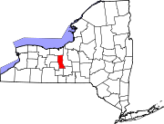
Towns Villages Interlaken | Lodi | Ovid | Seneca Falls | Waterloo
Footnotes ‡This populated place also has portions in an adjacent county or counties
Categories:- Villages in New York
- 1816 establishments in the United States
- Populated places in Seneca County, New York


Wikimedia Foundation. 2010.