- Clallam Bay, Washington
-
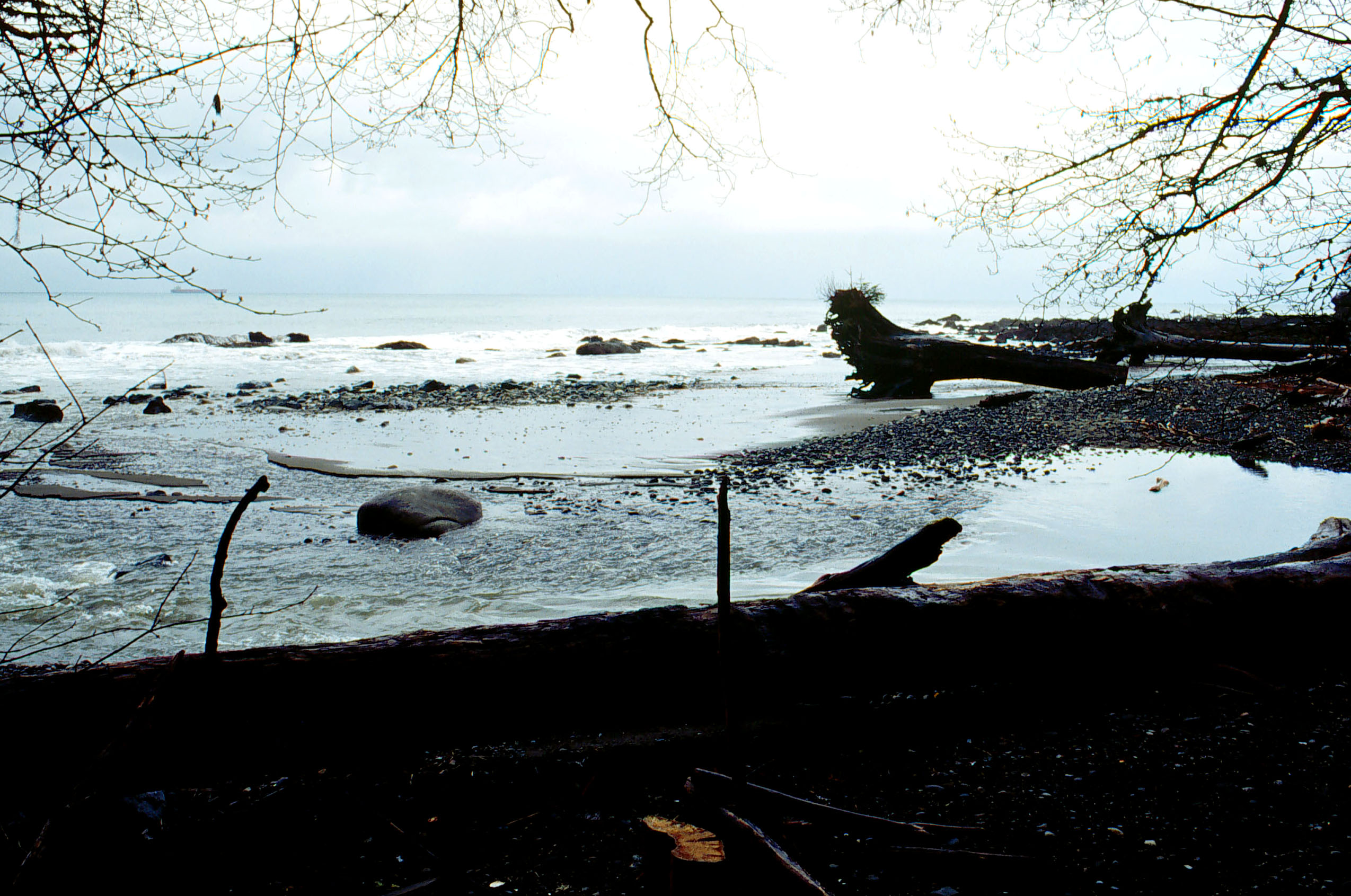
Clallam Bay — Unincorporated community — The mouth of the Clallam River is located in Clallam Bay County Park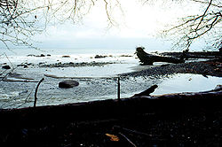 Location within the state of Washington
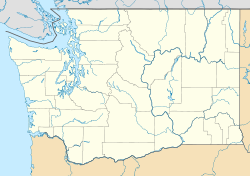
 Clallam Bay
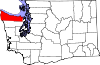
Coordinates: 48°15′17″N 124°15′30″W / 48.25472°N 124.25833°WCoordinates: 48°15′17″N 124°15′30″W / 48.25472°N 124.25833°W Country United States State Washington County Clallam Time zone Pacific (PST) (UTC-8) - Summer (DST) PDT (UTC-7) ZIP codes FIPS code GNIS feature ID Clallam Bay is an unincorporated community in Clallam County, Washington, United States, at the confluence of the Clallam River and Clallam Bay. Known for its natural beauty and hunting, Clallam Bay is partially reliant on tourism. Clallam Bay is considered the twin city of nearby Sekiu.
History
Clallam Bay, was founded in the 1880s as a steamboat stop. It became a mill town in 1890. Two years later, the mill burned, and making barrels for West Clallam Bay's tanning extract became its main industry. In 1905, the lighthouse at Slip Point was lighted on April Fool's Day.
Sekiu Point (pronounced See'-kew), the western cape of Clallam Bay, was first charted by Captain Henry Kellett in 1847. The town was founded as West Clallam in 1870, by A.J. Martin who built a salmon cannery to be nearer the fishing grounds. The area boomed before the turn of the century when a leather tanning extract was produced here by the Pacific Tanning Extract Company established in 1887. Sekiu crashed in 1893 when the demand for the extract ceased, and hundreds of men were left unemployed. People turned to fishing, and later logging. From 1902 to 1907, D.A. Robinson logged here, building a railroad with what was then the longest railroad bridge in the world. The 808-foot (246 m) long, 202-foot (62 m) high bridge spanned Charlie Creek.
External links
Municipalities and communities of Clallam County, Washington County seat: Port Angeles Cities Forks | Port Angeles | Sequim
CDPs Bell Hill | Blyn | Carlsborg | Neah Bay | Port Angeles East | River Road
Unincorporated
communitiesIndian reservations Lower Elwah Reservation | Makah Reservation
Categories:- Unincorporated communities in Washington (state)
- Populated places in Clallam County, Washington
- Washington (state) geography stubs


Wikimedia Foundation. 2010.