- Munsiyari
-
Munsyari — city — Coordinates 30°36′N 80°09′E / 30.6°N 80.15°ECoordinates: 30°36′N 80°09′E / 30.6°N 80.15°E Country India State Uttarakhand District(s) Pithoragarh Time zone IST (UTC+05:30) Area
• 2,200 metres (7,200 ft)
Munsyari is the name of a town and a tehsil in the Pithoragarh District in the hill-state of Uttarakhand, India.
It lies at the base of the great Himalayan mountain range, at an elevation of about 2,200 m (7,200 ft)[1], and is a starting point of various treks into the interior of the range.
Contents
Overview
Its name refers to a 'place with snow'. Situated on the banks of Goriganga river, it is a fast growing tourist destination, and mountaineers, glacier enthusiasts, high altitude trekkers and nature lovers commonly use it as their hub or base camp. Munsiyari also falls on the ancient salt route from Tibet and is at the entrance of the Johar Valley, which extends along the path of the Goriganga River to its source at the Milam Glacier. It is inhabited mainly by the Shauka people. The town is surrounded by snow capped peaks, with a key attraction being the trekking route to Khalia Top.
Gallery
-

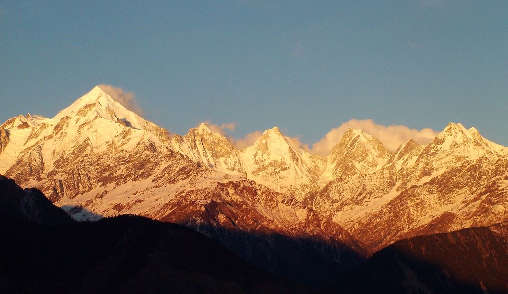
Panchchuli Peaks at Sunset, near Munsiyari
-
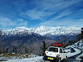
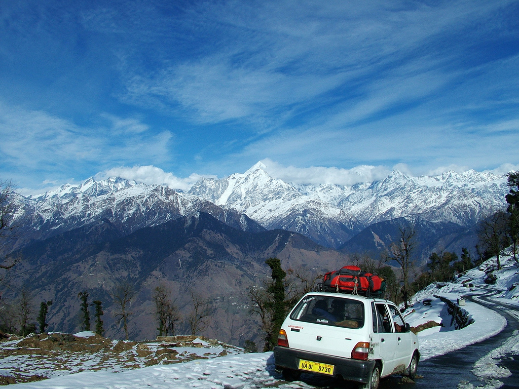
Road towards Munsiyari under snow.
See Also
- Shauka - Johar & nilam
- [Panchchuli' - glaciar and mountain]'
References
- ^ Garhwal-Himalaya-Ost, 1:150,000 scale topographic map, prepared in 1992 by Ernst Huber for the Swiss Foundation for Alpine Research, based on maps of the Survey of India.
External links
Cities and towns in Pithoragarh district Pithoragarh Askot · Berinag · Chaukori · Dharchula · Dharchula Dehat · Didihat · Gangolihat · Munsiyari · Pithoragarh
Cities and towns
in other districtsAlmora · Bageshwar · Chamoli · Champawat · Dehradun · Haridwar · Nainital · Pauri Garhwal · Rudraprayag · Tehri Garhwal · Udham Singh Nagar · Uttarkashi
Categories:- Hill stations in India
- Tourism in Uttarakhand
- Cities and towns in Pithoragarh district
- Uttarakhand geography stubs
-


Wikimedia Foundation. 2010.