- Gori Ganga
-
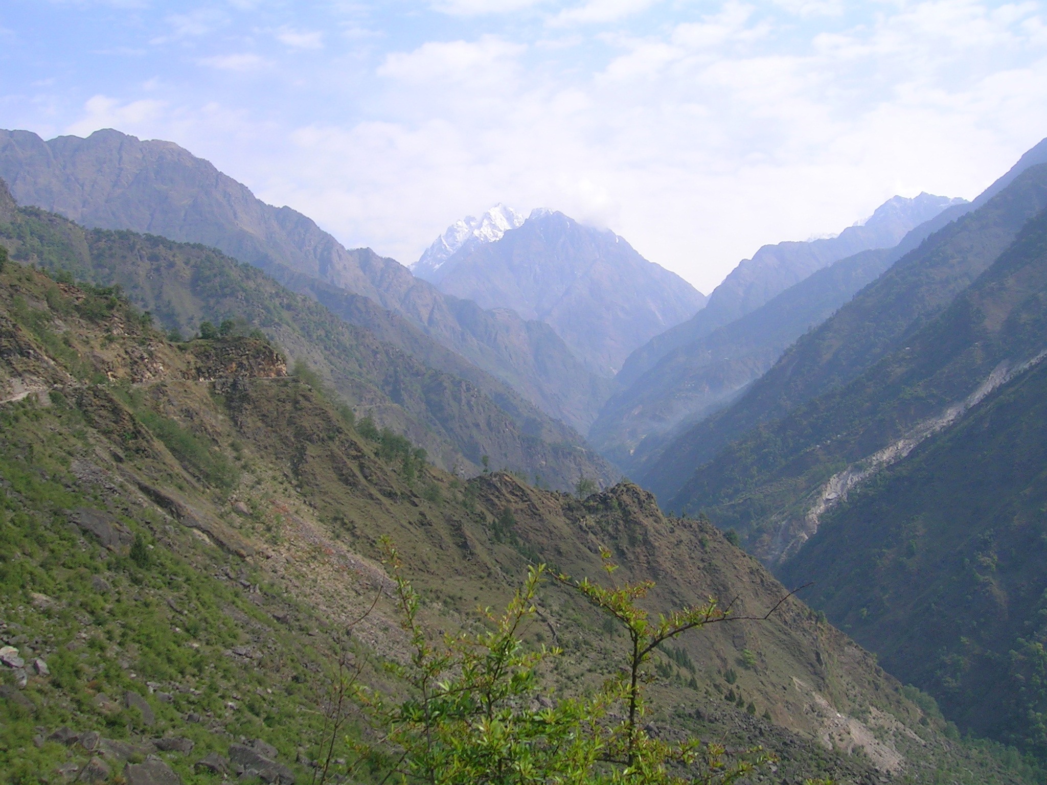
 The Ghori valley, Hansling in the distance
The Ghori Ganga (or Goriganga) is a river in the Munsiyari tehsil of the Pithoragarh District, part of the state of Uttaranchal in northern India. Its source is the Milam Glacier, just northeast of Nanda Devi. It is also fed by glaciers and streams flowing from the eastern slopes of the east wall of the Nanda Devi Sanctuary, and those flowing west from the high peaks of Panchchuli, Rajramba, and Chaudhara, including the Ralam Gad and the Pyunsani Gadhera. The Kalabaland-Burfu Kalganga glacier system also flows into the Ghori Ganga Valley from the east.[1]
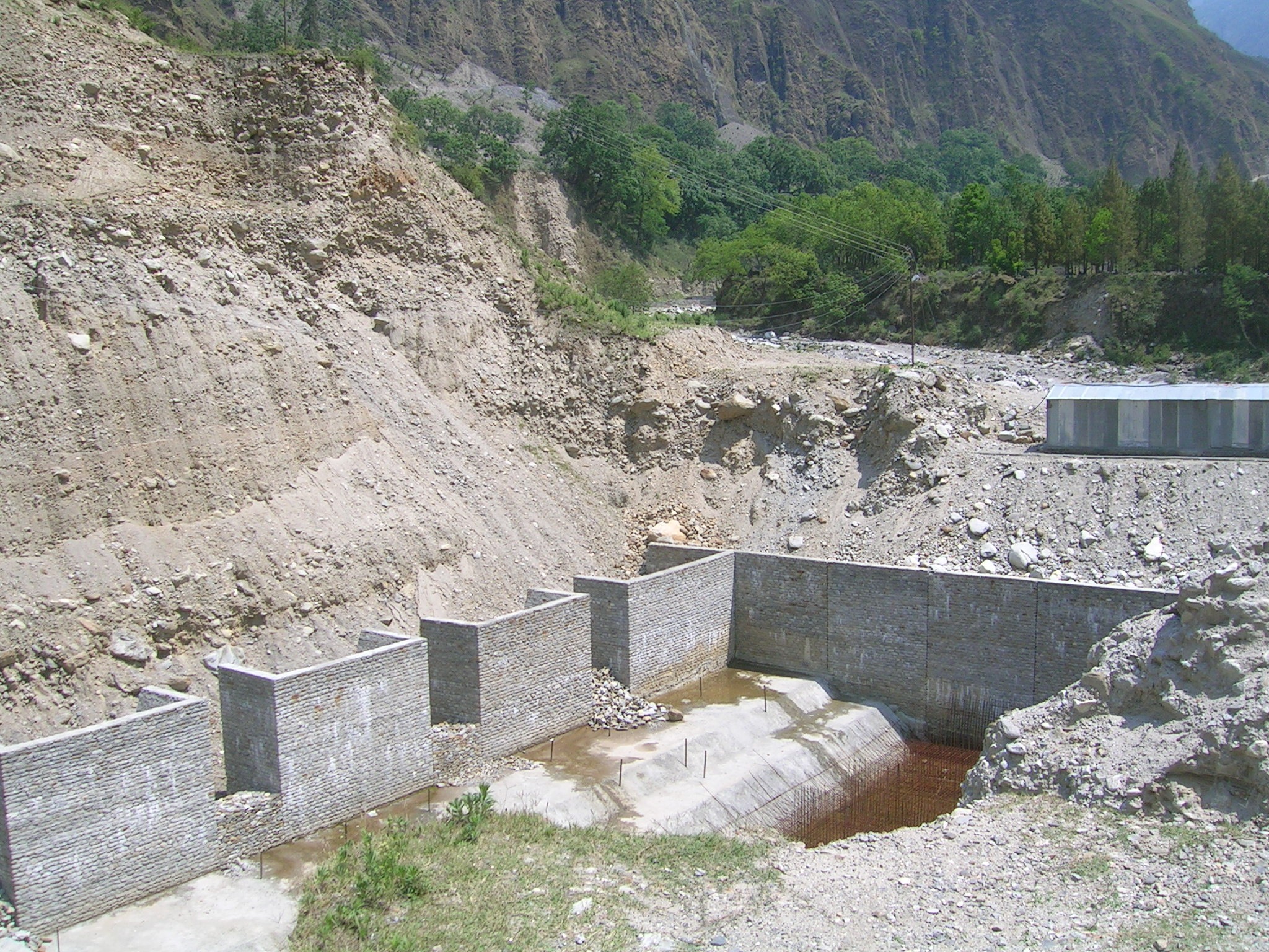
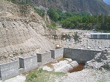 Madkote dam, one among many constructions in the fragile valley
The towns of Milam and Munsiyari lie in the upper reaches of the valley of the Ghori Ganga. The valley provides the approach route for access to peaks such as Nanda Devi East, Hardeol, Trishuli, Panchchuli, and Nanda Kot.
References
- ^ Garhwal-Himalaya-Ost, 1:150,000 scale topographic map, prepared in 1992 by Ernst Huber for the Swiss Foundation for Alpine Research, based on maps of the Survey of India.
Hydrology of Uttarakhand Rivers Lakes Dams/ Barrages Asan Barrage • Bhali Dam • Bhimgoda Barrage • Dakpathar Barrage • Ichari Dam • Koteshwar Dam • Maneri Dam • Pashulok Barrage • Ramganga Dam • Tehri DamGlaciers Gangotri • Kafni • Kalabaland • Meola • Milam • Namik • Panchchuli • Pindari • Ralam • Satopanth • SonaRelated topics GomukhCategories:- Rivers of Uttarakhand
- Pithoragarh district
- Uttarakhand geography stubs
Wikimedia Foundation. 2010.