- Chaukori
-
Chaukori — town — Coordinates Country India State Uttarakhand Time zone IST (UTC+05:30) 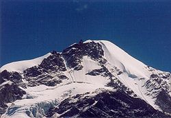 Himalayan peak
Chaukori is a tiny hill station in the Pithoragarh district set among the lofty peaks, of the western Himalayan Range in the Kumaon Division of Uttarakhand, India. To the north is Tibet and to the south is Terai. The Mahakali River, running along its eastern boundary, forms the Indo-Nepal international border.
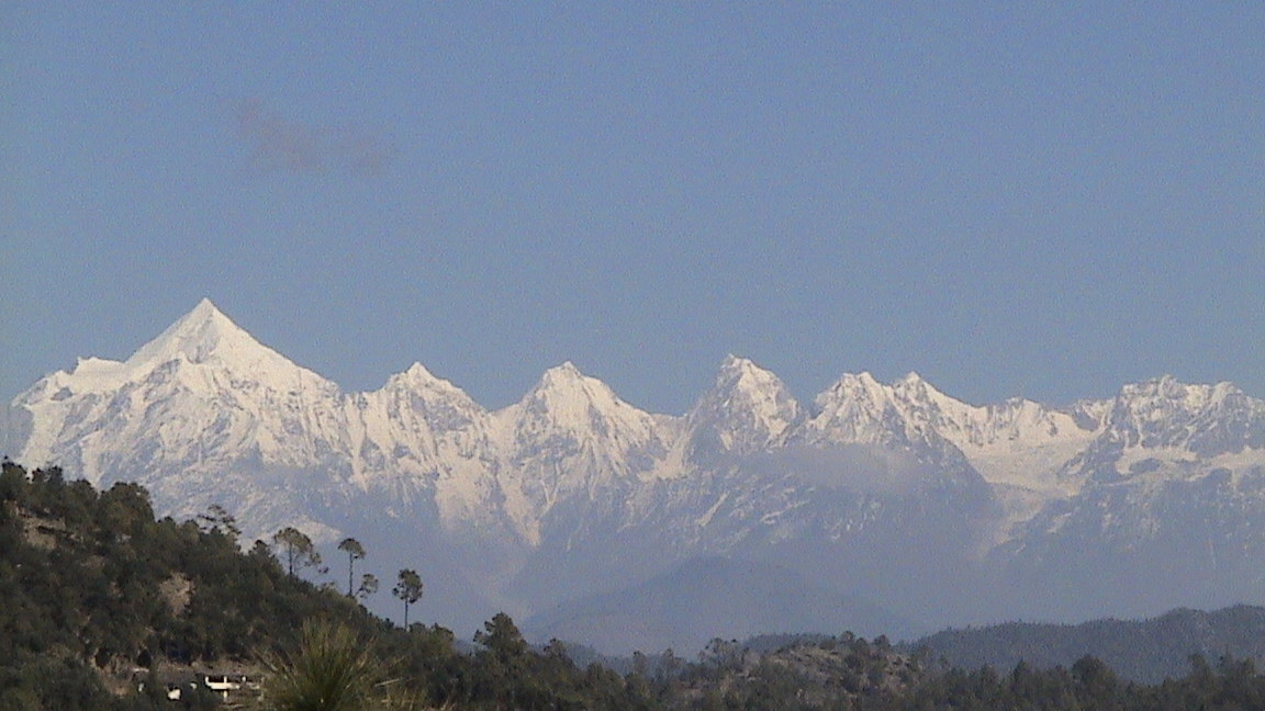
Chaukori's elevation is 2010 m with a spectacular view of the snowy peaks of peaks of Nanda Devi, and Nanda Kot. It is approximately 10 km from Berinag, another little hill station.[1]
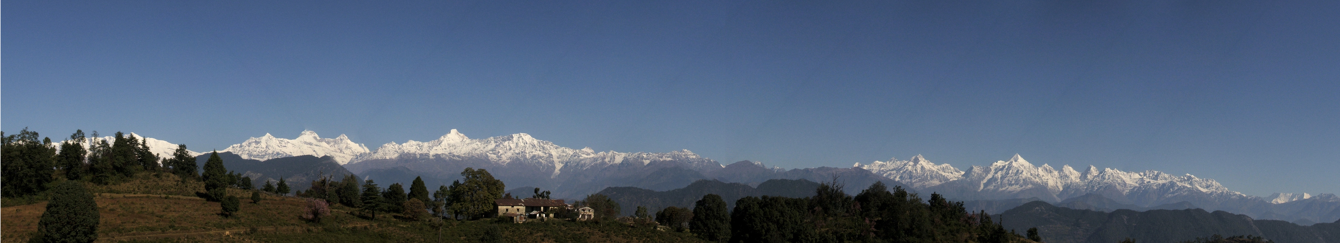
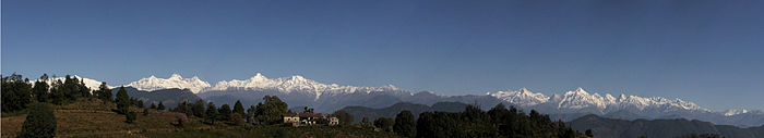 Panoramic view of the Himalayas, from Chaukori
Contents
Temples
Gangolihat, 35 km away, is an important religious centre with the Hat-Kalika temple. Also in the general area are the following temples:[2]
- Mahakali Temple of Gangolihat
- Patal Bhuvaneshwar
- Mostamanu temple
- Nagmandir of Berinag
- Ghunsera Devi Temple
- Kedar temple
- Nakuleshwar Temple
- Kamaksha Temple
- Kapileshwar Mahadev cave temple
- Ulkadevi Temple
- Jayanti Temple Dhwaj
- Arjuneshwar Shiva temple
- Kot Gari Devi
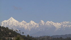 Panchchuli peaks from Chaukori
Transport
Chaukori is location from other cities and towns are listed below.[3]
The closest railhead is 214 km at Kathgodam.
Reference notes
- ^ "Chaukori: Holiday Haven". Indiatravelogue. http://www.indiatravelogue.com/trav/impr2.html. Retrieved 2006-10-18.
- ^ "Temples". pithoragarh,nic.in. http://pithoragarh.nic.in/Temples.htm. Retrieved 2006-10-18.
- ^ "Chaukori". india.journeymart.com. http://www.journeymart.com/de/india/uttarakhand/chaukori.aspx. Retrieved 2006-10-18.
External links
- Chaukori Website
- Chaukori Website 2
- Temples in the general area
- Pithoragarth District Website
- Patal Bhuvaneshwar-The Mysterious Cave
- Haridarshan Resort Bigul, Near Chaukori
Cities and towns in Pithoragarh district Pithoragarh Askot · Berinag · Chaukori · Dharchula · Dharchula Dehat · Didihat · Gangolihat · Munsiyari · Pithoragarh
Cities and towns
in other districtsAlmora · Bageshwar · Chamoli · Champawat · Dehradun · Haridwar · Nainital · Pauri Garhwal · Rudraprayag · Tehri Garhwal · Udham Singh Nagar · Uttarkashi
Categories:- Hill stations in India
- Tourism in Uttarakhand
- Cities and towns in Pithoragarh district
- Uttarakhand geography stubs

Wikimedia Foundation. 2010.