- Maryhill railway station
-
Maryhill 
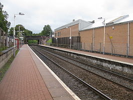
Maryhill station, looking east Location Place Maryhill Local authority Glasgow Operations Station code MYH Managed by First ScotRail Number of platforms 2 Live arrivals/departures and station information
from National Rail EnquiriesAnnual rail passenger usage 2002/03 * 26,648 2004/05 *  45,314
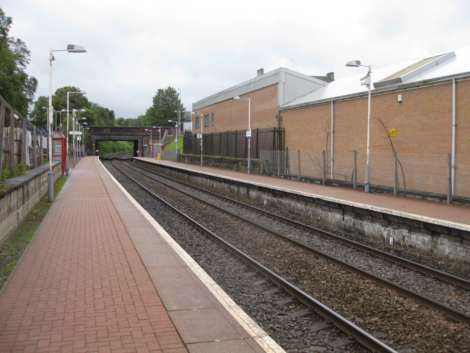
2005/06 * 49,3222006/07 * 53,2892007/08 * 55,6372008/09 * 77,430Passenger Transport Executive PTE SPT History 28 May 1858 Opened as Maryhill Park 2 October 1961 Closed to passengers 2 December 1993 Re-opened as Maryhill National Rail - UK railway stations A B C D E F G H I J K L M N O P Q R S T U V W X Y Z * Annual passenger usage based on sales of tickets in stated financial year(s) which end or originate at Maryhill from Office of Rail Regulation statistics. Please note: methodology may vary year on year. Maryhill railway station is a railway station serving the Maryhill area of Glasgow, Scotland. It is located on the Maryhill Line, 8 km (4¾ miles) north west of Glasgow Queen Street, a short distance east of Maryhill Viaduct and Maryhill Park Junction. It has two side platforms. Services are provided by First ScotRail on behalf of Strathclyde Partnership for Transport.
Maryhill was previously the terminus for the eponymous line. Since 2005 the service has extended to Kelvindale and Anniesland to connect with the North Clyde and Argyle Lines.
Services
Monday to Saturdays there is a half-hourly service eastbound to Glasgow Queen Street and westbound to Anniesland.
There is normally no Sunday service from the station, with the exception of the four Sundays immediately preceding Christmas; on these Sundays an hourly service operates between 1000 and 1800 hours.
External links
- Train times and station information for Maryhill railway station from National Rail
Preceding station  National Rail
Following station Summerston First ScotRail
Kelvindale Historical railways Lochburn Glasgow, Dumbarton and Helensburgh Railway
Westerton Summerston (old) Kelvin Valley Railway
Terminus Terminus Stobcross Railway
Anniesland Coordinates: 55°53′49″N 4°18′07″W / 55.897°N 4.302°W
Categories:- Railway stations in Glasgow
- Former North British Railway stations
- Railway stations opened in 1858
- Railway stations closed in 1951
- Railway stations opened in 1960
- Railway stations closed in 1964
- Railway stations opened in 1993
- SPT railway stations
- Railway stations served by First ScotRail
- Scotland railway station stubs
Wikimedia Foundation. 2010.