- Dowra
-
Dowra
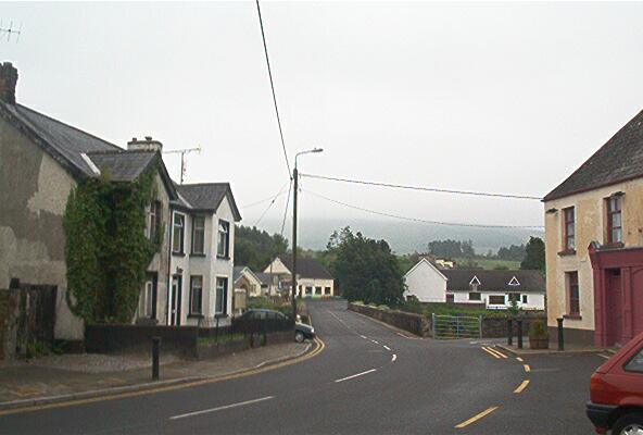
An Damhshraith— Town — Looking north - up 'Main Street' - on the Cavan side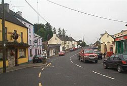 Location in Ireland
 Dowra
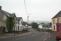
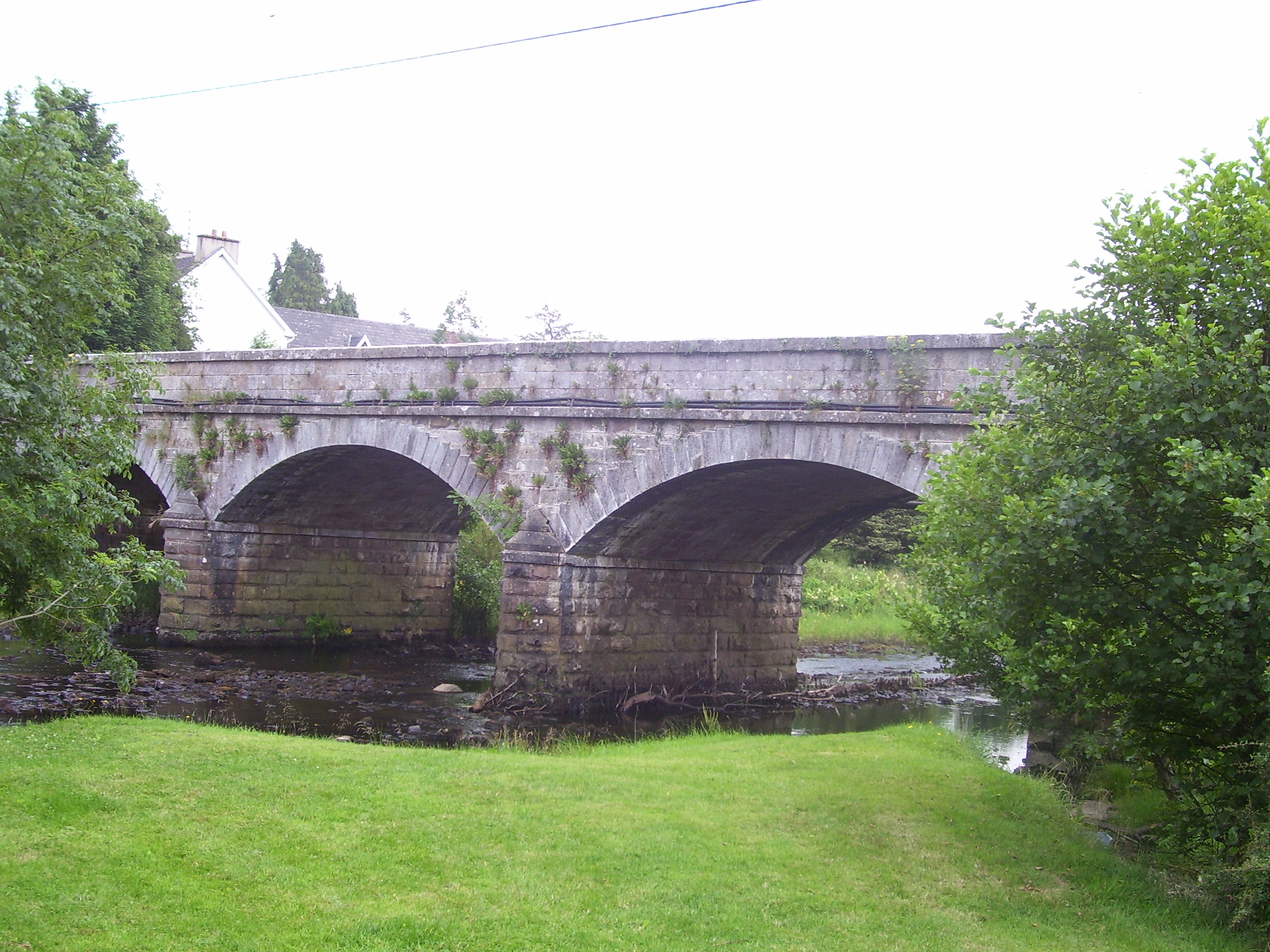
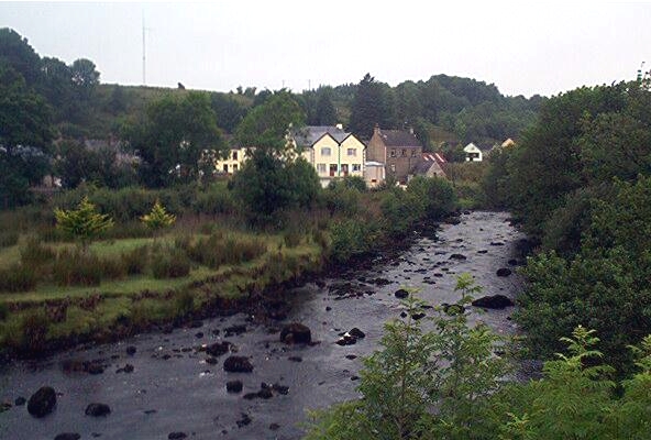
DowraCoordinates: 54°07′N 8°01′W / 54.11°N 8.01°WCoordinates: 54°07′N 8°01′W / 54.11°N 8.01°W Country Ireland Province Ulster County County Cavan Elevation 57 m (187 ft) Time zone WET (UTC+0) - Summer (DST) IST (WEST) (UTC-1) Irish Grid Reference G989267 Dowra (Irish: An Damhshraith, meaning "The Shrine of the Ox") is a small village in northwest County Cavan, Ireland. It is the first village on, and marks the most uppermost navigable point of, the River Shannon. On one side of its bridge is County Cavan; on the other is County Leitrim. The nucleus of the village is situated in the Cavan side.
Contents
History
The village was formed in the late 1800s after another village close by, Tober, was washed away by landslides. The remains of the Black Pig's Dyke can be seen outside the village.[citation needed]
Places of interest
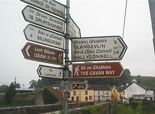
The source of the River Shannon, known as the Shannon Pot is located about 12 km to the north. The Cavan Way hiking trail starts in the village and the Leitrim Way passes through it. The Miners' Way is nearby.
Economy
The main industries in the locality are agriculture, forestry and construction. There is a livestock market held every Saturday.
Religion
The village church is located approximately 5 km north and is called the Church of the Immaculate Conception, Doobally.
-
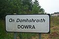
Dowra - An Damhshraith
-
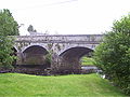
Dowra Bridge - first town on the Shannon
-

The River Shannon immediately upstream of Dowra Bridge
-
Looking east across the bridge toward Leitrim
-
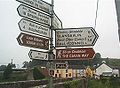
Directions to everywhere
-
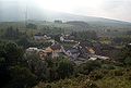
Dowra from above the old Garda barracks
See also
Places in County Cavan County town: Cavan Towns 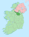
Villages Agharaskilly • Aghavoher • Arvagh • Ballinagh (Bellananagh) • Ballyconnell • Ballyhaise • Ballymagauran • Ballymagovern • Bawnboy • Berrymount • Blacklion • Butlersbridge • Canningstown • Cavanagh • Cloncollow • Crossdoney • Cullyleenan • Derryginny • Dowra • Kilcogy • Killashandra • Kilnacreeva • Kilnaleck • Lisnahederna • Milltown • Mountnugent • Mullagh • Mullaghduff • Rakeelan • Redhills • Stradone • SwanlinbarLandforms Black Pig's Dyke • Dún na Rí Forest Park • Glengevlin • Lough Gowna • Lough Oughter • Lough Ramor • Lough Sillan • Magh Slécht • Shannon Cave • Shannon Pot • Slieve Cuilcagh • Slieve RushenCategory:Geography of County Cavan Categories:- Towns and villages in County Cavan
-


Wikimedia Foundation. 2010.