- Geography of Niue
-
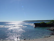 Avatele, Niue
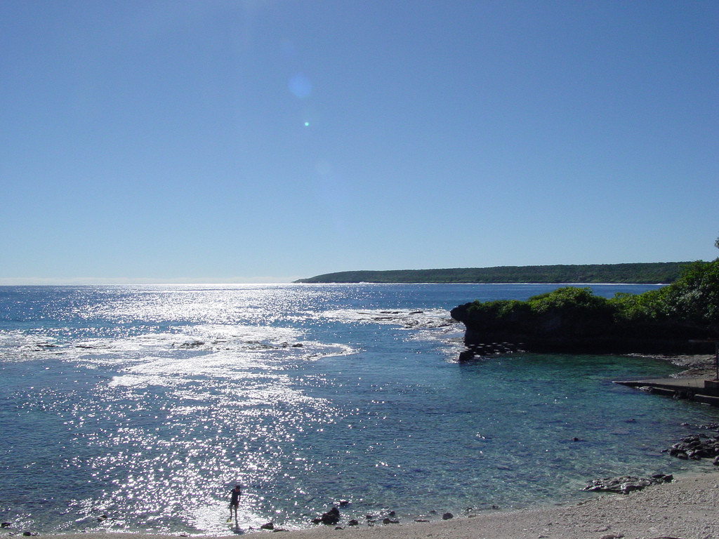
Niue is a small island in the South Pacific Ocean, to the east of Tonga. It has an area of 260 square kilometres, and a coastline of 64 km. It claims an exclusive economic zone of 200 nm, and a territorial sea of 12 nm. It is one of world's largest coral islands.
Contents
Climate
Niue's climate is tropical, modified by south-east trade winds. Cyclones pose a natural hazard.
Terrain
The terrain consists of steep coastal cliffs made from limestone and a central plateau. The lowest point is at sea level, and the highest is an unnamed point near Mutalau settlement, at 68 m.
Natural resources
The island's natural resources are fish and arable land. Land use in 1993 was as in the following table:
Land use Use Percentage of area arable land 19 permanent crops 8 permanent pastures 4 forests and woodland 19 other 50 Environmental issues
A current environmental issue is increasing attention to conservationist practices to counter loss of soil fertility from traditional slash and burn agriculture. Niue is a party to the following international agreements regarding the environment: Biodiversity, Climate Change, Climate Change-Kyoto Protocol, Desertification. Niue has signed but not ratified the Law of the Sea agreement.
Boundaries
Niue has signed a treaty with the United States in which the parties delimited the east–west maritime boundary between Niue and American Samoa. Niue is south of American Samoa.
Extreme points
This is a list of the extreme points of Niue, the points that are farther north, south, east or west than any other location.
- Northern-most point – unnamed headland north-west of Uluvehi
- Eastern-most point – unnamed headland south-east of Liku
- Southern-most point – Limufuafua Point
- Western-most point - Halagigie Point
Coordinates: 19°02′S 169°52′W / 19.033°S 169.867°WGeography of Oceania Sovereign states Dependencies and
other territories- American Samoa
- Christmas Island
- Cocos (Keeling) Islands
- Cook Islands
- Easter Island
- French Polynesia
- Guam
- Hawaii
- New Caledonia
- Niue
- Norfolk Island
- Northern Mariana Islands
- Pitcairn Islands
- Tokelau
- Wallis and Futuna
Categories:- Geography of Niue
- Niue stubs
- Oceania geography stubs
Wikimedia Foundation. 2010.