- Connells Point, New South Wales
-
Connells Point
Sydney, New South Wales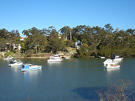
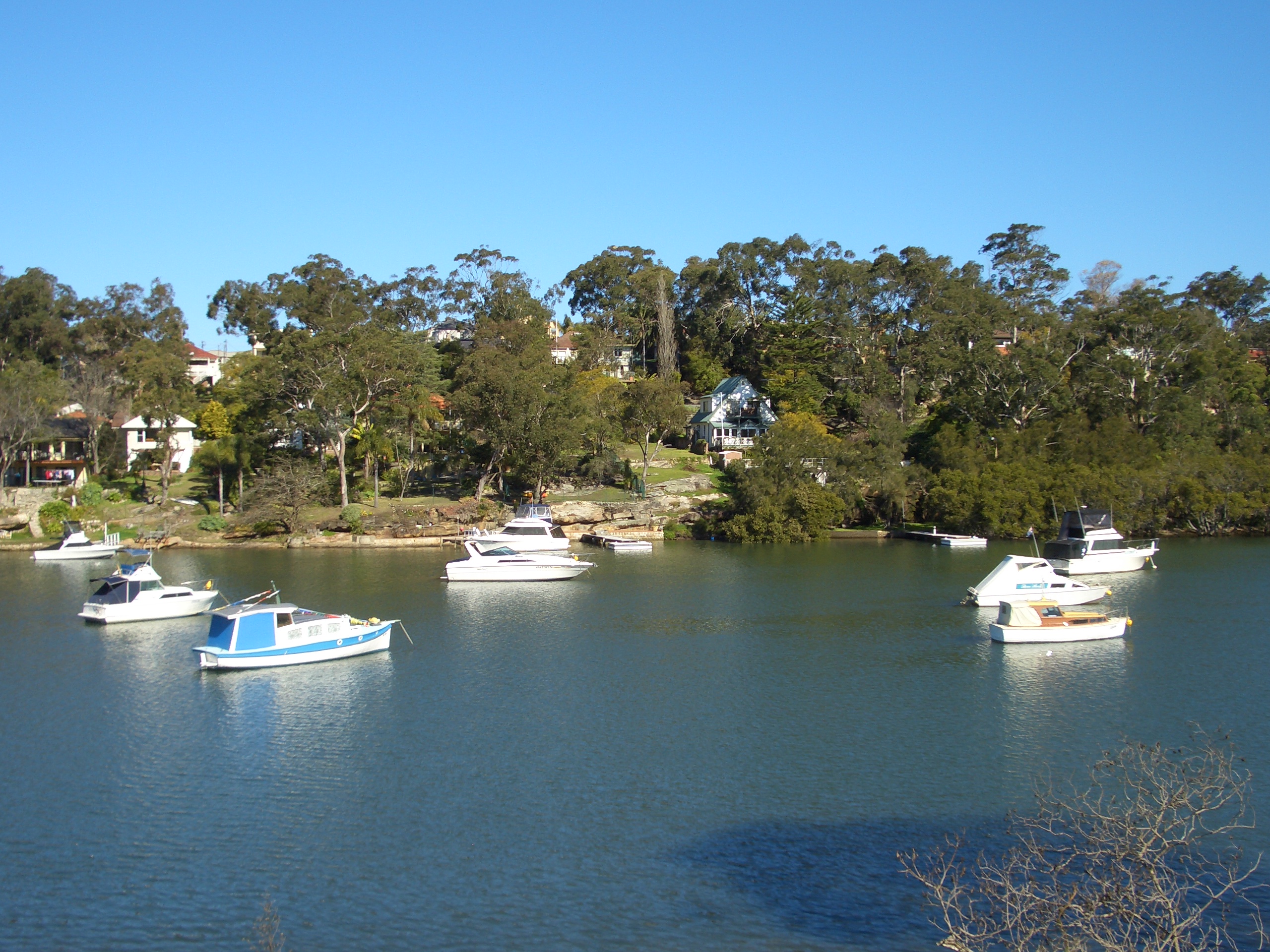
Oatley Bay, Connells PointPopulation: 2,854 (2001) [1] Postcode: 2221 Location: 20 km (12 mi) south of Sydney CBD LGA: Kogarah State District: Kogarah Federal Division: Banks Suburbs around Connells Point: Hurstville Grove Hurstville South Hurstville Oatley Connells Point Blakehurst Oyster Bay Kangaroo Point Kyle Bay  Connells Point, Sailing Club wharf; view from Donnelly Park
Connells Point is an suburb in south-east Sydney, in the state of New South Wales, Australia. Connells Point is located 20 kilometres south of the Sydney central business district and is part of in the local government area of the Municipality of Kogarah, in the St George area.
Connells Point takes its name from the geographical formation beside Connells Bay, on the Georges River. It is a small, picturesque suburb surrounded by the suburbs of Hurstville Grove and South Hurstville, Blakehurst and Kyle Bay.
Consistently ranked as the among the most expensive suburbs in the Municipality of Kogarah, it is compared often to ares of the lower north shore due to its examples of Victorian Revival architecture.
Contents
History
Connells Point and Connells Bay were named after Charles Daniel O'Connell who held land in the area. Connells Bay was originally called O'Connells Bay. In the early days, the bay was used for shipbuilding. Connells Point Public School was opened in 1933.[2]
Transport
The main feeder road into the suburb starts at Woniora Road Hurstville, passes through South Hurstville at King Georges Road and then to Connells Point. It is appropriately named "Connells Point Road" and follows through the centre of the locality.
Landmarks
- Donnelly Park, Poulton Park, Connells Point Reserve
- Connells Bay, Connells Point, Oatley Bay
Schools
Connells Point has a public primary school; Connells Point Public School, which was established in 1934 and caters for students from years K-6 in the New South Wales education system. Notable alumni of the school include Robert McLelland, Federal Member for Barton and Attorney-General.
Sport and recreation
- Connells Point has its own football club called Connells Point Rovers FC,who currently play in the St. George Soccer Football Association [3]. Their home ground is Poulton Park.
- The Connells Point Sailing Club [4] is located in Donnelly Park, on the shore of Connells Bay.
- The 1st Kyle Bay Sea Scout Hall is adjacent to the Connells Point Sailing Club.
Population
According to the 2006 Australian Bureau of Statistics Census of Population, there were 2,803 people living in Connells Point. 24.3% stated they were born overseas with the top countries of birth being United Kingdom 2.9%, Greece 2.3% and China 1.9%. English was stated as the only language spoken at home by 68.8% of residents and the most common other languages spoken were Greek 9.5% and Cantonese 4.6% and Italian 2.6%. The most common responses for religious affiliation were Catholic 31.4%, Anglican 19.7% and Orthodox 17.3%.[5]
References
- ^ http://www.kogarah.nsw.gov.au/resources/documents/2_Kogarah__ch2.pdf
- ^ The Book of Sydney Suburbs, Compiled by Frances Pollon, Angus & Robertson Publishers, 1990, Published in Australia ISBN 0-207-14495-8, page 70
- ^ http://www.stgeorgesoccer.com.au/
- ^ Connell's Point Sailing Club
- ^ http://id.com.au/dosydney/Default.aspx?pg=1&gid=1640
External links
- Connells Point, New South Wales is at coordinates 33°58′57″S 151°06′01″E / 33.98246151°S 151.10016°ECoordinates: 33°58′57″S 151°06′01″E / 33.98246151°S 151.10016°E
Suburbs and localities within the Municipality of Kogarah · St George · Sydney Allawah · Beverley Park · Blakehurst · Carlton · Carss Park · Connells Point · Hurstville Grove · Kogarah · Kogarah Bay · Kyle Bay · South Hurstville
Categories:- Suburbs of Sydney

Wikimedia Foundation. 2010.