- Hurstville Grove, New South Wales
Infobox Australian Place | type = suburb
name = Hurstville Grove
city = Sydney
state = nsw
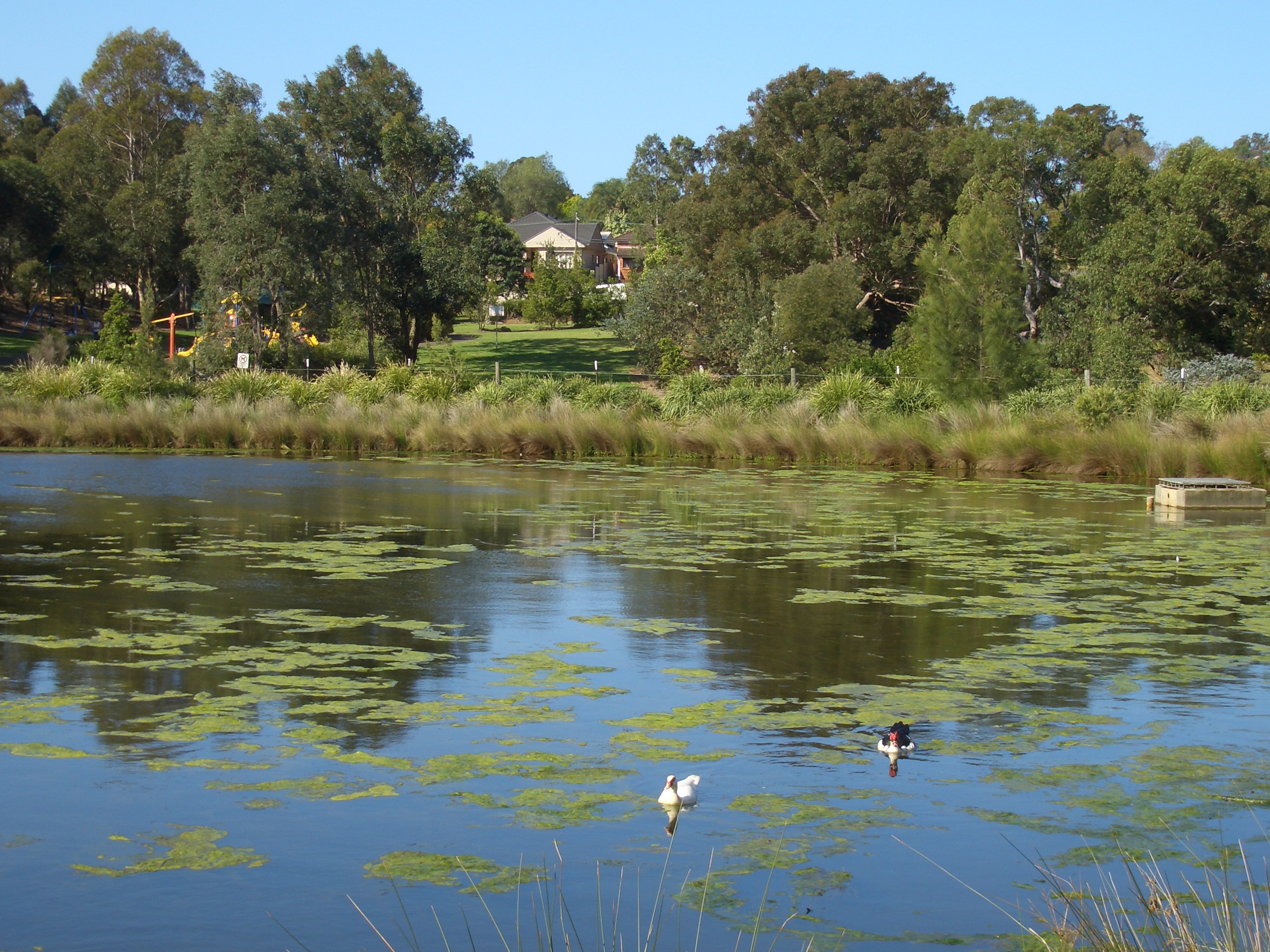
caption = Hurstville Grove, Moore Reserve Wetland
lga =Municipality of Kogarah
postcode = 2220
pop =
area =
propval =
est =
stategov = Kogarah
fedgov =Division of Barton
near-nw = Penshurst
near-n = Penshurst
near-ne = Hurstville
near-w = Oatley
near-e = South Hurstville
near-sw = Oatley
near-s = Connells Point
near-se = Connells Point
dist1 = 19
location1= CBDHurstville Grove is a
suburb in southernSydney , in the state ofNew South Wales ,Australia . Hurstville Grove is located 19 km south of theSydney central business district and is part of the local government area of theMunicipality of Kogarah , in the St George area. The postcode is 2220.Hurstville Grove stretches from Hillcrest Avenue to the shore of Oatley Bay, on the
Georges River . It is mainly residential with a few shops located on Hillcrest Avenue. Hurstville and South Hurstville are separate suburbs, to the northeast.History
The Hurstville area was granted to Captain John Townson and his brother Robert Townson in 1808. Captain John Townson was granted 1950
acre s (7.9 km²) which was on the land now occupied by the suburb of Hurstville and parts of Bexley. Robert Townson was granted the land which is now occupied by Penshurst, Mortdale and parts of Peakhurst. The next year Captain John Townson was granted an additional 250 acres (1 km²) in the area now occupied by Kingsgrove and Beverly Hills. However, the Townson brothers were not happy with the heavily timbered land that they were given because it was not suitable for the farming of sheep for wool. It is likely that the brothers never occupied their land.The land was sold to a wealthy merchant named
Simeon Lord (1771-1840) in 1812, who called his land Lord's Bush. When Simeon Lord died the land became the property of John Rose Holden and James Holt of the Bank of NSW.The land was sold to Michael Gannon (1800-61) in 1850 and became known as Gannon's Forest. The Gannons Forest post office opened in 1881. The local school was known as Hurstville by School Inspector MacIntyre in 1876. When the railway arrived in 1884, the station took the name Hurstville from the school. Hurstville municipality was incorporated in 1887.
Churches
* St Annes Catholic Church, St Aidans Anglican Church
Parks and waterways
* Poulton Park, Willunga Reserve, Moore Park, Grove Park, Quarry Reserve
* Oatley Bay,Georges River References
*"The Book of Sydney Suburbs", Compiled by Frances Pollen, Angus & Robertson Publishers, 1990, Published in Australia ISBN 0-207-14495-8
External links
Wikimedia Foundation. 2010.