- North Carolina Highway 194
-
NC 194
Route information Maintained by NCDOT Length: 85.4 mi[1] (137.4 km) Existed: early 1920s – present Major junctions South end:  US 19E in Ingalls
 US 321 / US 421 in Boone
North end: Rugby Road at the VA line near Helton Location Counties: Avery, Watauga, Ashe Highway system ←  NC 191
NC 197  →
→North Carolina Highway 194 is a primary state highway in the state of North Carolina. Primarily in the High Country, it runs from US 19E, in Ingalls, to the Virginia state line, near Helton.
Contents
Route description
NC 194 begins in the community of Ingalls going east, on a somewhat curvy stretch of road known as Three Mile Highway, to US 221 (locals going to or from Spruce Pine take a shortcut on Mullin Hill Road). Being the first of three concurrences with US 221, the routes go through the town of Crossnore then separates. NC 194, from Crossnore to Elk Park is relatively calm road (even a passing lane is available for southbound travelers between Newland and Elk Park.
Between Elk Park and Vilas, the route becomes aggressively curvy, as it hugs the banks of the Elk River (between Elk Park and Banner Elk), the Craborchard Creek (from Watauga county line to Valle Crucis), and the Watauga River (in Valle Crucis). While in Banner Elk, the road will pass by the Elk River Airport, Lees–McRae College, and the ski resorts on Beech and Sugar.
From Vilas through Boone, it is overlapped with US 421; passing through the downtown area Boone and ASU. It separates onto Jefferson Road, next to the New Market Shopping Center, and goes through another curvy drive through the community of Todd.
Reconnecting with US 221 in Baldwin, the road is very open and uneventful till they split for the final time in West Jefferson. NC 194 goes through the city of West Jefferson, passing by the only cheese factory in North Carolina. Connecting with NC 88 for a few miles till Warrensville, NC 194 is solo for the last 13.4 miles (21.6 km) to the Virginia state line. In Virginia, it becomes a smaller (no lines) secondary road called Rugby Road, which eventually connects to US 58.
Scenic byways
NC 194 is part of two scenic byways in the state (indicated by a Scenic Byways sign). Both routes are not recommended for recreational vehicles or buses.[2]
Mission Crossing Byway is an 18 miles (29 km) byway from Elk Park to Vilas, passing through the town of Banner Elk and the communities of Heaton, Balm, and Valle Crucis. The route gets its name from the 1895 mission built in Valle Crucis by the Episcopal Church, today it is used as a camp and conference center. The route is also noted for its back-road feel, a farm built in 1812, and the Mast General Store.[2]
New River Valley Byway is an 32 miles (51 km) byway, split in two sections. The first section (18 miles (29 km)) is traversed by NC 194 from Boone to Baldwin, passing through the community of Todd. The section is noted for its Christmas tree farms, the North Fork New River, a site of an Revolutionary War engagement, and the Todd General Store. The second section is on NC 88, between Jefferson and Laurel Springs.[2]
Junction list
County Location Mile[1] Destinations Notes Avery Ingalls 0 US 19E – Spruce Pine, CranberryNC 194 begins 4  US 221 south (Linville Falls Highway) – Marion
South end of US 221 overlap Crossnore 9 US 221 north (Linville Falls Highway) – Linville, MorgantonNorth end of US 221 overlap Newland 13  NC 181 south (Linville Avenue) – Linville
Elk Park 18.5 US 19E – Cranberry, Roan MountainBrief .5 miles (0.80 km) concurrency Banner Elk 25.5  NC 184 – Beech Mountain, Linville, Boone
Brief .4 miles (0.64 km) concurrency; also to area ski resorts Watauga Valle Crucis 33 
 To NC 105 / Broadstone Road
Vilas 37 US 321 north / US 421 north – Mountain CityNorth end of US 321/421 overlap Boone 42.7 US 321 south (Hardin Street) – Blowing RockSouth end of US 321 overlap 43 US 221 south / NC 105 south (Highway 105 Extension) – Linville, Banner ElkSouth end of US 221 overlap 43.5 US 221 north / US 421 south – Wilkesboro, Winston-SalemNorth and south end of US 221 and 421 overlap Ashe Baldwin 61.5 US 221 southSouth end of US 221 overlap West Jefferson 65 


 US 221 north / US 221 Bus. / NC 163 east – Jefferson
North end of US 221 overlap, south end of US 221 Bus. overlap 67
US 221 Bus. north – JeffersonNorth end of US 221 Bus. overlap Smethport 68.5  NC 88 east – Jefferson
East end of NC 88 overlap Warrensville 72 NC 88 west – TradeWest end of NC 88 overlap 1.000 mi = 1.609 km; 1.000 km = 0.621 mi
Concurrency terminus • Closed/Former • Incomplete access • UnopenedHistory
NC 194 was an original state highway; starting from Woodlawn, North Carolina (then NC 19, currently US 221/NC 226 split) to Newland, then west to Minneapolis (then NC 69, currently US 19E). In 1923, NC 194 abandoned Old Toe River Road (the original road that paralleled the ETWN "Tweetsie" Railroad), going north instead to meet with then NC 69 near Elk Park. An extension in 1924, has NC 194 replacing NC 694 to the Tenneessee state line in Elk Park.[3]
In 1930, NC 194 switched with NC 69, going north from Elk Park to Vilas. In 1932, NC 194 was replaced by US 221/NC 28 from Woodlawn to Crossnore; one year later (1933), it was overlapped with US 221, then replaced NC 691 to its current southern terminus in Ingalls.[3][4]
NC 194 last extension happened in 1953, following US 421 from Vilas through Boone, then replacing the old US 221 routing through Todd. It then continued north through West Jefferson, replacing NC 162 through Warrensville to its current northern terminus at the Virginia state line.[3][4]
In the mid-1960, NC 194 was realigned onto new road between Newland and Elk Park, abandoning Blevins Creek Road.[3]
Alternate names
Though the highway is commonly known as "NC 194" throughout the state, the highway does have other known names it uses locally in areas.
- Balm Highway - Road name between Banner Elk to the Watauga County line.
- Banner Elk Highway - Road name between Elk Park and Banner Elk.
- Cranberry Street - Road name, north of Montezuma Street, in Newland.
- Elk Park Highway - Road name between Newland and Elk Park.
- Jefferson Avenue - Road name in West Jefferson city limits.
- Jefferson Road - Road name from US 221/421 to Boone city limits.
- King Street - Road name in Boone.
- Linville Falls Highway - Road name when overlapped with US 221 in Avery County.
- Main Street - Road name in Banner Elk city limits.
- Millers Gap Highway - Road name from Crossnore to Newland.
- Pineola Street - Road name, south of Montezuma Street, in Newland.
- Robert G Barr Expressway - Road name when overlapped with US 221 in Ashe County.
- Three Mile Highway - Road name between US 19E and US 221 in Avery County.
Photo gallery
-

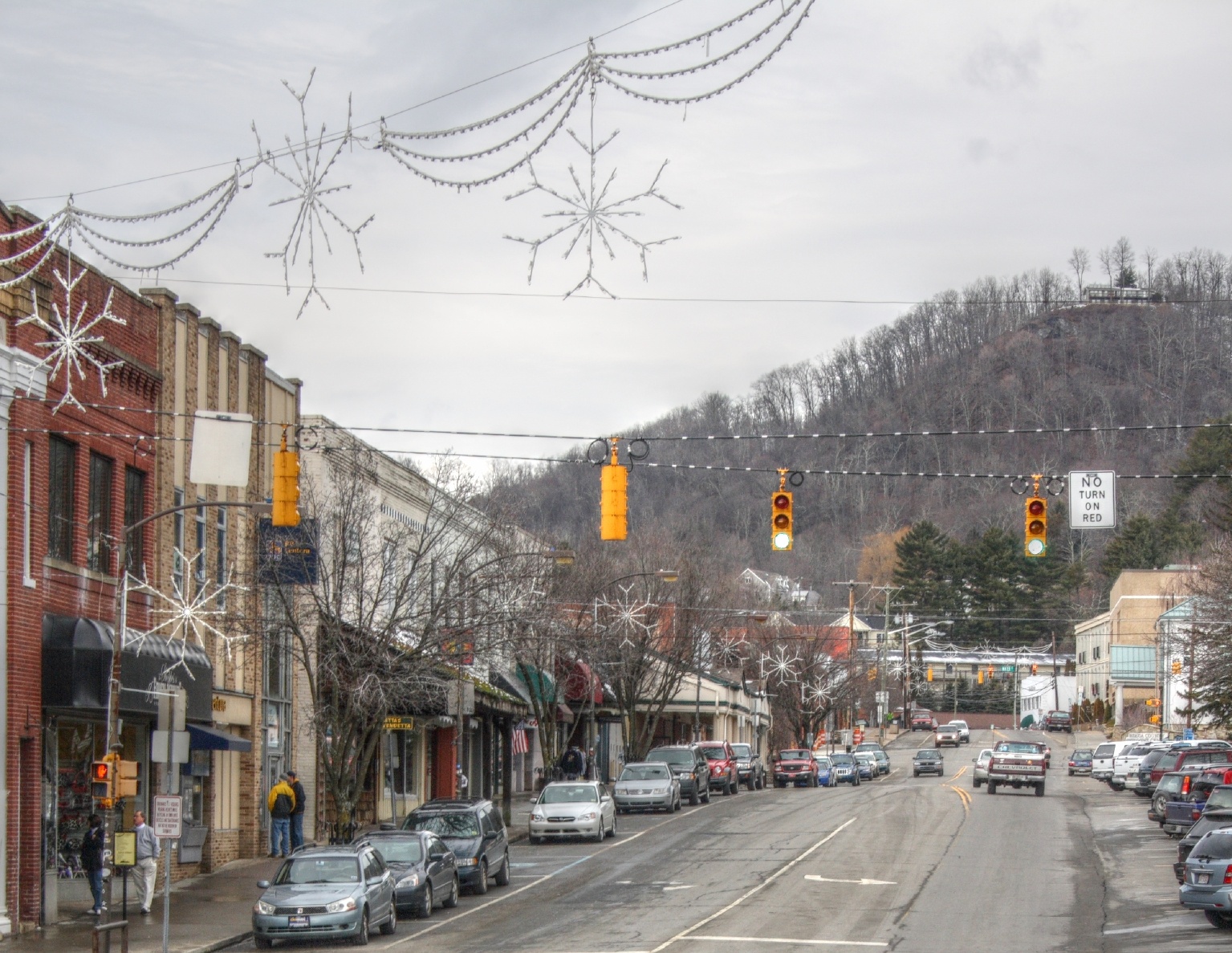
King Street (NC 194), going through downtown Boone (2009-01-15).
See also
- Beech Mountain
- Crossnore Presbyterian Church
- East Tennessee and Western North Carolina Railroad
- Elk Knob State Park
- Elk River
- North Fork New River
- North Toe River
- Shawneehaw Creek
- Spanish Oak Mountain
- Valle Crucis Episcopal Mission
- Watauga River
References
- ^ a b "Google Maps". http://maps.google.com. Retrieved 2011-01-04.
- ^ a b c "NCDOT: Scenic Byways". http://www.ncdot.org/travel/scenic/. Retrieved 2011-01-04.
- ^ a b c d "NCRoads.com: N.C. 194". http://members.cox.net/ncroads/nc194.html. Retrieved 2011-01-04.
- ^ a b "NC State Hwy 194 Ends". http://www.state-ends.com/ncends/state/194.html. Retrieved 2011-01-04.
Categories:- State highways in North Carolina
- Transportation in Avery County, North Carolina
- Transportation in Watauga County, North Carolina
- Transportation in Ashe County, North Carolina

Wikimedia Foundation. 2010.