- Newington Forest, Virginia
-
Newington Forest — CDP — Location within the Commonwealth of Virginia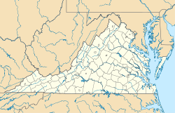
 Newington Forest
Coordinates: 38°44′10″N 77°14′10″W / 38.73611°N 77.23611°WCoordinates: 38°44′10″N 77°14′10″W / 38.73611°N 77.23611°W Country United States State Virginia County Fairfax Time zone Eastern (EST) (UTC-5) - Summer (DST) EDT (UTC-4) ZIP codes 22079, 22153 FIPS code 51-55758 GNIS feature ID 2584893 Newington Forest is a census-designated place in Fairfax County, Virginia. The population as of the 2010 Census was 12,442.[1] It includes the Newington Forest subdivision and several nearby neighborhoods of southern Springfield and northern Lorton.
References
- ^ Virginia Trend Report 2: State and Complete Places (Sub-state 2010 Census Data). Missouri Census Data Center. Accessed 2011-06-08.
Categories:- Populated places in Fairfax County, Virginia
- Census-designated places in Virginia
- Fairfax County, Virginia geography stubs


Wikimedia Foundation. 2010.