- Mount Swadener
-
Mount Swadener Elevation 3,150 m (10,335 ft) Location Location Edward VII Peninsula, Marie Byrd Land, West Antarctica Range Alexandra Mountains Coordinates 77°16′S 153°45′W / 77.267°S 153.75°WCoordinates: 77°16′S 153°45′W / 77.267°S 153.75°W Mount Swadener (77°16′S 153°45′W / 77.267°S 153.75°W) is a peak located in Edward VII Land, West Antarctica. This mountain is located in the Sneddon Nunataks, a group of coastal nunataks on the north side of the Alexandra Mountains of Edward VII Peninsula. Nearby geographic features include Swinburne Ice Shelf and Sulzberger Bay.
Discovery and naming
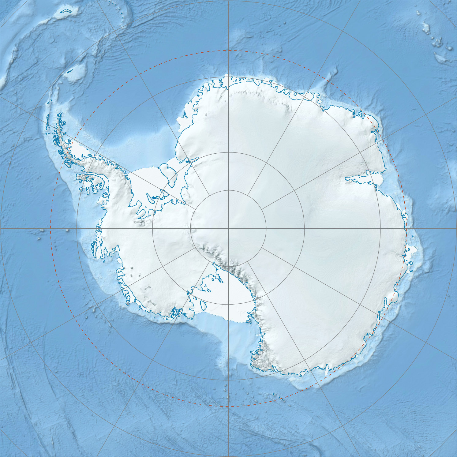
 Mount SwadenerMap depicting the location of Mount Swadener in Marie Byrd Land, West Antarctica
Mount Swadener was mapped by the United States Geological Survey (USGS) from ground surveys and aerial photographs taken by the United States Navy between 1959–66. It was named by the Advisory Committee on Antarctic Names (US-ACAN) for Lieutenant John R. Swadener, U.S. Navy, navigator of the ski-equipped R4D Skytrain in which Rear Admiral George J. Dufek made the first aircraft landing at the geographic South Pole on 31 October 1956.[1]
References
Antarctica Main articles - Antarctic
- History
- Geography
- Climate
- Expeditions
- Research stations
- Field camps
- Territorial claims
- Antarctic Treaty System
- Telecommunications
- Demographics
- Economy
- Tourism
- Transport
- Military activity in the Antarctic
Geographic regions - Antarctic Peninsula
- East Antarctica
- West Antarctica
- Extreme points of the Antarctic
- List of Antarctic and subantarctic islands
- Antarctica ecozone
Waterways Famous explorers  Portal:Antarctica
 This article incorporates public domain material from the United States Geological Survey document "Mount Swadener" (content from the Geographic Names Information System).
This Ross Dependency location article is a stub. You can help Wikipedia by expanding it.